
Victor in Ontario County, New York — The American Northeast (Mid-Atlantic)
Gannondata
Photographed by Anton Schwarzmueller, October 26, 2018
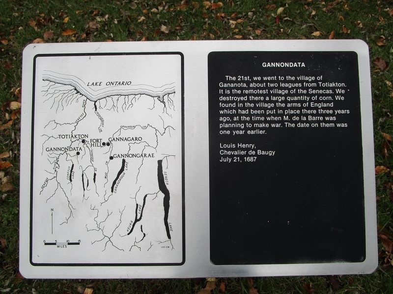
1. Gannondata Marker
The 21st, we went to the village of Gannondata, about two leagues from Totiakon. It is the remotest village of the Senecas. We destroyed there a large quantity of corn. We found in the village the arms of England which has been put in place there three years ago, at the time when M. de la Barre was planning to make war. The date on them was one year earlier.
Louis Henry,
Chevalier de Baugy
July 21, 1687
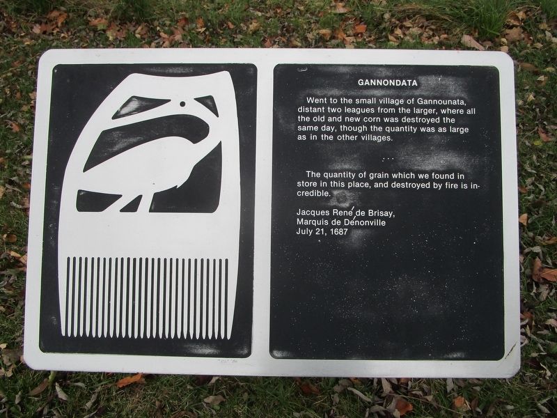
Went to the small village of Gannounata, distant two leagues from the larger, where all the old and new corn was destroyed the same day, though the quantity was as large as in the other villages.
The quantity of grain which we found in store in this place, and destroyed by fire is incredible.
Jacques Rene de Brisay,
Marquis de Denonville
July 21, 1687
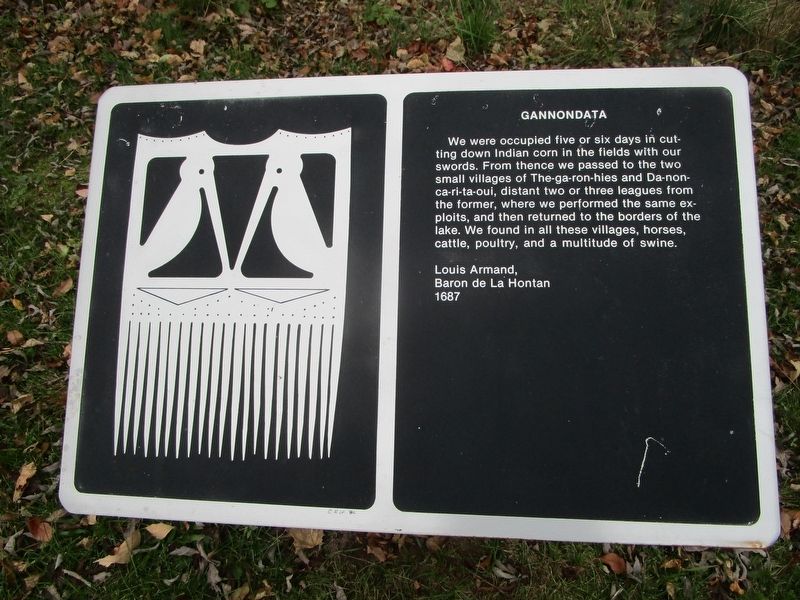
We were occupied five or six days in cutting down Indian corn in the fields with our swords. From thence we passed to the two small villages of The-ga-ron-hies and Da-non-ca-ri-ta-oui, distant two or three leagues from the former, where we performed the same exploits, and then returned to the borders of the lake. We found in all
this page online
Louis Armand,
Baron de La Hontan
1687
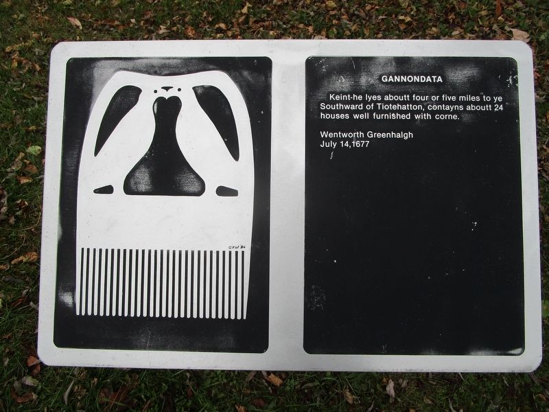
Keint-he lyes about four or five miles to ye Southward of Tiotehatton, contaynes about 24 houses well furnished with corne.
Wentworth Greenhalgh
July 14, 1677
Topics. This historical marker is listed in these topic lists: Exploration • Indigenous Peoples and Communities • Settlements & Settlers. A significant historical date for this entry is July 21, 1687.
Location. 42° 57.814′ N, 77° 26.096′ W. Marker is in Victor, New York, in Ontario County. It can be reached from the intersection of Boughton Hill Road (County Route 41) and Murray Lane. This marker series, with others, is on Fort Hill in Ganondagan New York State Historical Site. From the parking area at the intersection, hike west on the service road which will ascend the hill on the west side. Touch for map. Marker is in this post office area: Victor NY 14564, United States of America. Touch for directions.

Regionally, this marker is in Upstate New York, specifically in Western New York, in the Finger Lakes, and in the Rochester Metropolitan Area. It is also
Photographed by Anton Schwarzmueller, October 26, 2018
2. Gannondata Marker
Other nearby markers. At least 8 other markers are within walking distance of this marker: Nundawahonoga (within shouting distance of this marker); Totiakton (within shouting distance of this marker); The War on Corn (within shouting distance of this marker); Gannongarae (about 400 feet away, measured in a direct line); Onondowahgah (about 400 feet away); Gahayanduk (about 400 feet away); Gannagaro (about 400 feet away); Gahayanduk Fort Hill (about 800 feet away). Touch for a list and map of all markers in Victor.
Also see . . . Ganondagan State Historic Site. New York State Parks, Recreation and Historic Preservation website entry (Submitted on July 15, 2023, by Larry Gertner of New York, New York.)
Photographed by Anton Schwarzmueller, October 26, 2018
3. Gannondata Marker
Photographed by Anton Schwarzmueller, October 26, 2018
4. Gannondata Marker
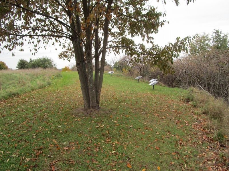
Photographed by Anton Schwarzmueller, October 26, 2018
5. Gannondata Marker Series
Posted on this page nearest to farthest.
Credits. This page was last revised on June 28, 2024. It was originally submitted on October 28, 2018, by Anton Schwarzmueller of Wilson, New York. This page has been viewed 530 times since then and 25 times this year. Photos: 1, 2, 3, 4, 5. submitted on October 28, 2018, by Anton Schwarzmueller of Wilson, New York.
