Near Cuero in DeWitt County, Texas — The American South (West South Central)
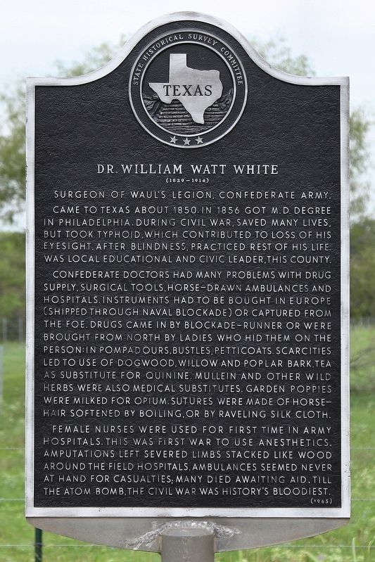
Dr. William Watt White
(1829 - 1914)
Came to Texas about 1850. In 1856 got M.D. degree in Philadelphia. During Civil War, saved many lives, but took typhoid, which contributed to loss of his eyesight. After blindness, practiced rest of his life. Was local educational and civic leader, this county.
Confederate doctors had many problems with drug supply, surgical tools, horse-drawn ambulances and hospitals. Instruments had to be bought in Europe (shipped through naval blockade) or captured from the foe. Drugs came in by blockade - runner or were brought from North by ladies who hid them on their person: in pompadours, bustles, petticoats. Scarcities led to use of dogwood, willow and poplar bark tea as substitute for quinine. Mullein and other wild herbs were also medical substitutes. Garden poppies were milked for opium. Sutures were made of horsehair softened by boiling, or by raveling silk cloth.
Female nurses were used for first time in army hospitals. This was first war to use anesthetics. Amputations left severed limbs stacked like wood around the field hospitals. Ambulances seemed never at hand for casualties; many died awaiting aid. Till the atom bomb, the Civil War was history's bloodiest.
Erected 1965 by State Historical Survey Committee. (Marker Number 1283.)
Topics. This historical marker is listed in these topic lists: Science & Medicine • War, US Civil. A significant historical year for this entry is 1850.
Location. 29° 13.072′ N, 97° 17.8′ W. Marker is near Cuero, Texas, in DeWitt County. Marker is on U.S. 183, one mile north of Bramlette Road (County Road 244), on the right when traveling south. Touch for map. Marker is in this post office area: Cuero TX 77954, United States of America. Touch for directions.
Other nearby markers. At least 8 other markers are within 7 miles of this marker, measured as the crow flies. Concrete College (1865 - 1881) (approx. 1.4 miles away); George Washington Davis (approx. 2.4 miles away); Mount Zion Baptist Church (approx. 3.7 miles away); Stagecoach Inn (approx. 5.1 miles away); Hochheim (approx. 5.8 miles away); Cuero I Archeological District (approx. 5.8 miles away); Hochheim Cemetery (approx. 6.1 miles away); Friar-Cardwell Stage Stand (approx. 6.1 miles away). Touch for a list and map of all markers in Cuero.
Credits. This page was last revised on November 1, 2018. It was originally submitted on September 24, 2018, by Larry D. Moore of Del Valle, Texas. This page has been viewed 794 times since then and 73 times this year. Last updated on October 29, 2018, by Brian Anderson of Humble, Texas. Photos: 1, 2. submitted on September 24, 2018, by Larry D. Moore of Del Valle, Texas. • Andrew Ruppenstein was the editor who published this page.

