
Myers Park in Charlotte in Mecklenburg County, North Carolina — The American South (South Atlantic)
Queens University of Charlotte
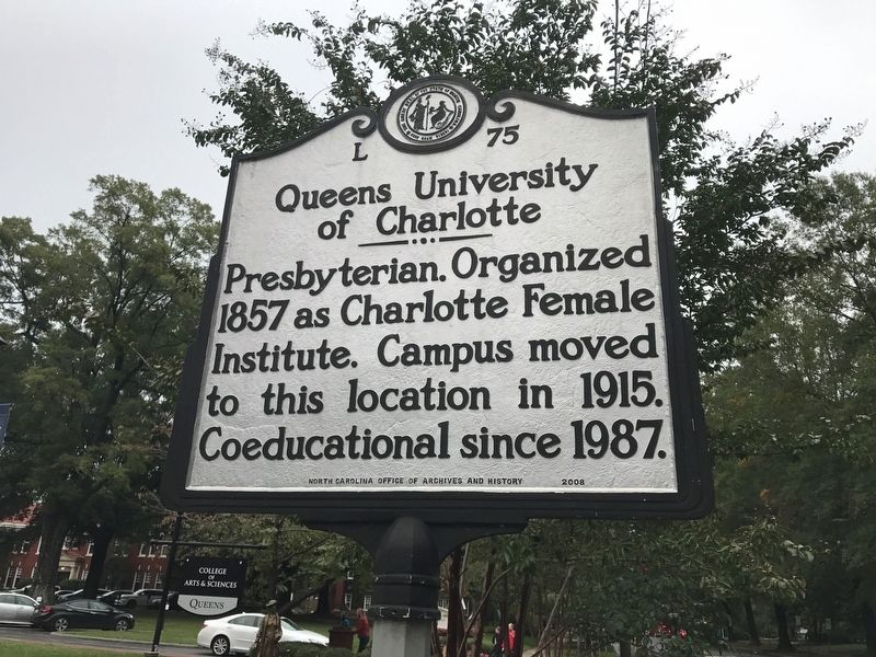
Photographed by S. C. McCullough, October 27, 2018
1. Queens University of Charlotte Marker
Erected 2008 by North Carolina Office of Archives and History. (Marker Number L-75.)
Topics and series. This historical marker is listed in these topic lists: Education • Religion & Religious Structures • Women. In addition, it is included in the North Carolina Division of Archives and History series list. A significant historical year for this entry is 1857.
Location. 35° 11.278′ N, 80° 49.919′ W. Marker is in Charlotte, North Carolina, in Mecklenburg County. It is in Myers Park. It is on Selwyn Avenue 0.1 miles south of Queens Road, on the right when traveling south. Touch for map. Marker is in this post office area: Charlotte NC 28207, United States of America. Touch for directions.

Regionally, this marker is in North Carolina’s Piedmont. It is also in the American South and specifically in the Upper South. Globally, it is in North America, the Western Hemisphere, the Western World, and the Anglosphere. Historically, it finds itself in what was once the territory of the Mississippian Culture, one of the original Thirteen Colonies, one of the Confederate States of America, and the Antebellum South.
Other nearby markers. At least 8 other markers are within walking distance of this
this page online
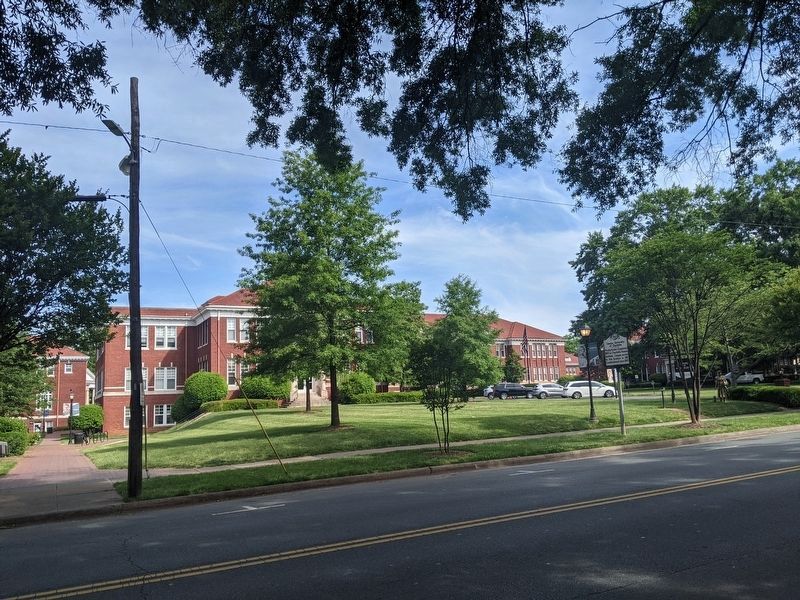
Photographed by Mike Wintermantel, May 9, 2021
2. Queens University of Charlotte Marker
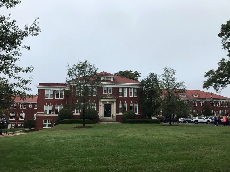
Photographed by S. C. McCullough, October 27, 2018
3. Queens University
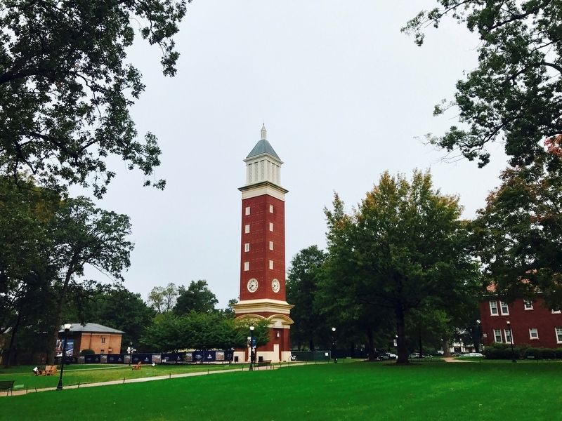
Photographed by S. C. McCullough, October 27, 2018
4. Evans Clock Tower
Credits. This page was last revised on February 3, 2023. It was originally submitted on October 30, 2018, by S. C. McCullough of Charlotte, North Carolina. This page has been viewed 884 times since then and 49 times this year. Photos: 1. submitted on October 30, 2018, by S. C. McCullough of Charlotte, North Carolina. 2. submitted on May 16, 2021, by Mike Wintermantel of Pittsburgh, Pennsylvania. 3, 4. submitted on October 30, 2018, by S. C. McCullough of Charlotte, North Carolina. • Andrew Ruppenstein was the editor who published this page.
