Near Glenns Ferry in Elmore County, Idaho — The American West (Mountains)
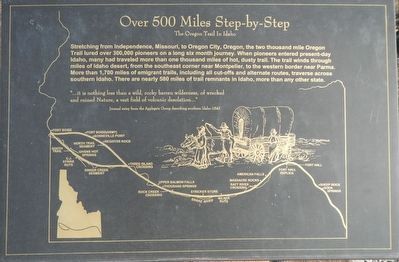
Over 500 Miles Step-by-Step
The Oregon Trail in Idaho
Inscription.
Stretching from Independence, Missouri, to Oregon City, the two thousand mile Oregon Trail lured over 300,000 pioneers on a long six month journey. When pioneers entered present-day Idaho, many had traveled more than one thousand miles of hot, dusty trail. The trail winds through miles of Idaho desert, from the southeast corner near Montpelier, to the western border near Parma. More than 1,700 miles of emigrant trails, including all cut-offs and alternate routes, traverse across southern Idaho. There are nearly 580 miles of trail remnants in Idaho, more than any other state.
Topics and series. This historical marker is listed in these topic lists: Roads & Vehicles • Settlements & Settlers. In addition, it is included in the Oregon Trail series list. A significant historical year for this entry is 1843.
Location. 42° 55.794′ N, 115° 19.764′ W. Marker is near Glenns Ferry, Idaho, in Elmore County. Marker can be reached from Solobal Road near Rosevear Gulch Road. Touch for map. Marker is in this post office area: Glenns Ferry ID 83623, United States of America. Touch for directions.
Other nearby markers. At least 8 other markers are within 2 miles of this marker , measured as the crow flies. "A Most Dangerous Crossing" (here, next to this marker); To All Pioneers (approx. 0.9 miles away); The Three Island Ford (approx. 0.9 miles away); Motor Homes Without Motors (approx. 0.9 miles away); The Oregon Trail (approx. 0.9 miles away); Idaho's Bicentennial Wagon (approx. 0.9 miles away); Site 1 ★ Two Island Crossing (approx. 1.9 miles away); Glenn's Ferry (approx. 2 miles away). Touch for a list and map of all markers in Glenns Ferry.
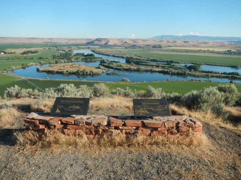
More about this marker. This marker is located on a short trail below Three Island Crossing overlook, which in turn is located at the end of an unnamed leading north from Solobal Road. It it easier to find than describe.
Credits. This page was last revised on October 30, 2018. It was originally submitted on October 30, 2018, by Barry Swackhamer of Brentwood, California. This page has been viewed 226 times since then and 20 times this year. Photos: 1, 2. submitted on October 30, 2018, by Barry Swackhamer of Brentwood, California.

