Near Ninety Six in Greenwood County, South Carolina — The American South (South Atlantic)
Walking Tour of the Park
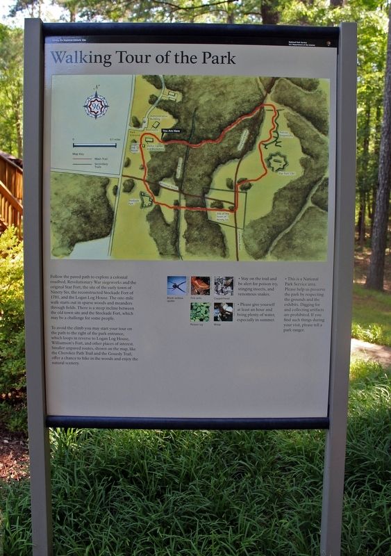
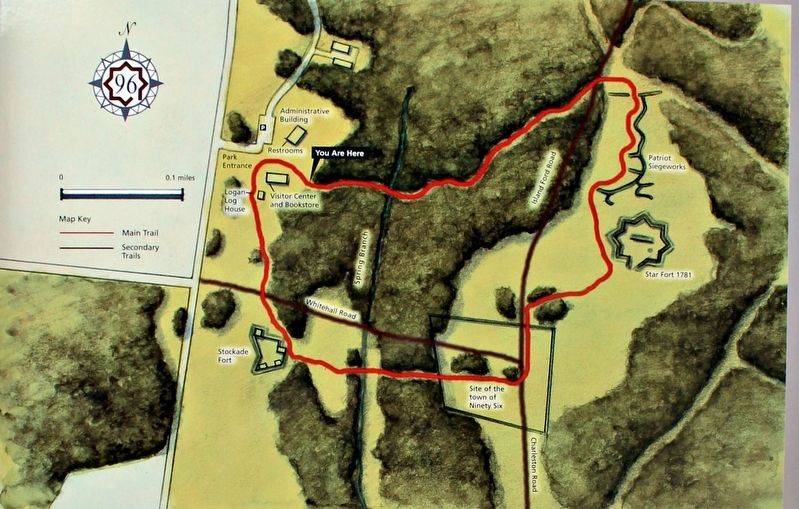
To avoid the climb you may start your tour on the path to the right of the park entrance, which loops in reverse to Logan Log House, Williamson's Fort, and other places of interest. Smaller unpaved routes, shown on the map, like the Cherokee Path Trail and the Gouedy Trail, offer a chance to hike in the woods and enjoy the natural scenery.
• Stay on the trail and be alert for poison ivy, stinging insects, and venomous snakes
• Please give yourself at least an hour and bring plenty of water, especially in summer.
• This is a National Park Service area. Please help us preserve the park by respecting the grounds and the exhibits. Digging for and collecting artifacts are prohibited. If you find such things during your visit, please tell a park ranger.
Erected by National Park Service: Ninety Six National Historical Site.
Topics. This historical marker is listed in these topic lists: Colonial Era • Forts and Castles • War, US Revolutionary.
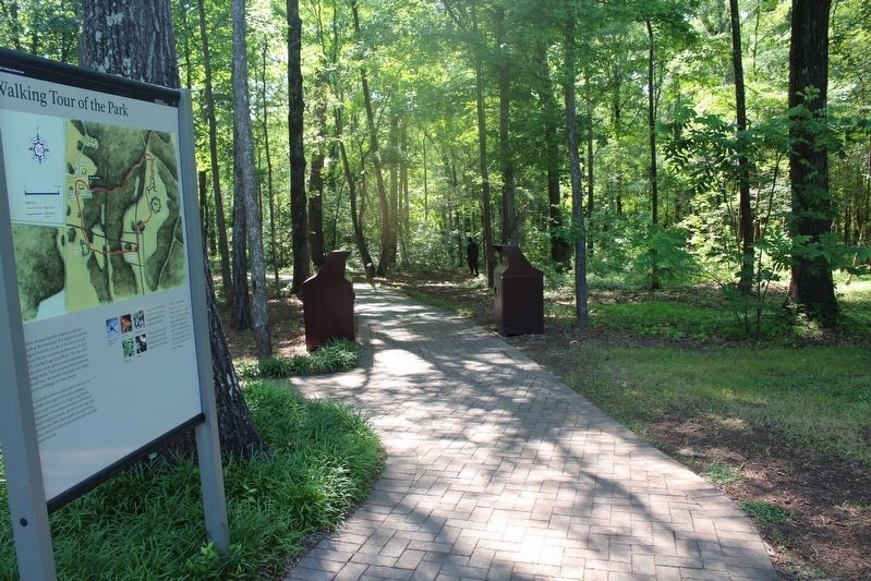
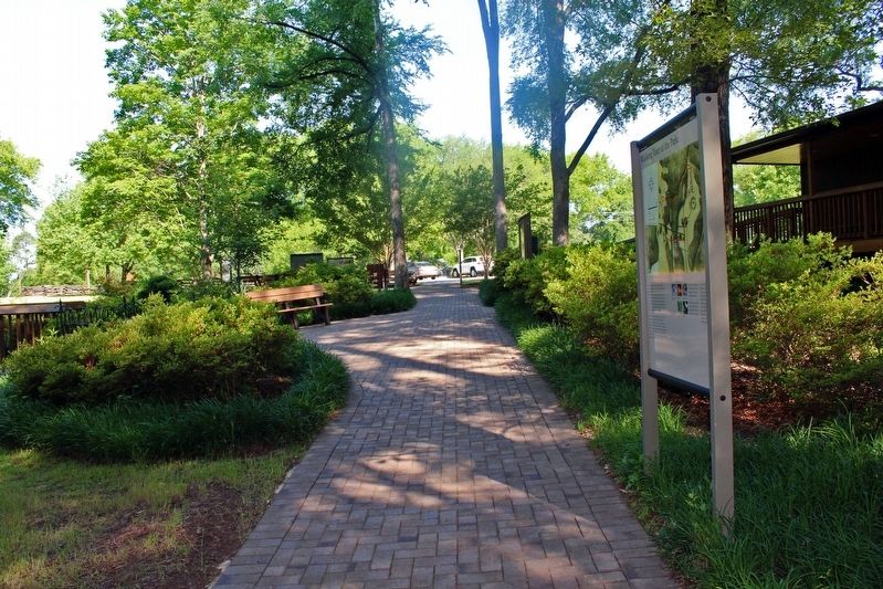
Location. 34° 8.802′ N, 82° 1.373′ W. Marker is near Ninety Six, South Carolina, in Greenwood County. Marker can be reached from State Highway 248, 0.1 miles north of Louden Road, on the left when traveling south. The marker is at the start of a paved loop trail at the Ninety Six National Historic Site Visitor Center. Touch for map. Marker is at or near this postal address: 1103 Hwy 248, Ninety Six SC 29666, United States of America. Touch for directions.
Other nearby markers. At least 8 other markers are within walking distance of this marker. The Siege of Ninety Six (within shouting distance of this marker); Ninety Six in the American Revolution (within shouting distance of this marker); Ninety Six National Historic Site (within shouting distance of this marker); Why Is It Called Ninety Six? (within shouting distance of this marker); Logan Log House (within shouting distance of this marker); a different marker also named Logan Log House (within shouting distance of this marker); Monument to James Birmingham (about 300 feet away, measured in a direct line); James Birmingham (about 300 feet away). Touch for a list and map of all markers in Ninety Six.
Regarding Walking Tour of the Park. The marker includes a trail map (Photo #2) as well as pictures of potential hazards along the route: black widow spider, fire ants, copperhead snake, poison ivy and wasp.
Credits. This page was last revised on November 2, 2018. It was originally submitted on July 11, 2016, by David Graff of Halifax, Nova Scotia. This page has been viewed 277 times since then and 14 times this year. Last updated on October 30, 2018, by Bruce Guthrie of Silver Spring, Maryland. Photos: 1, 2, 3, 4. submitted on July 11, 2016, by David Graff of Halifax, Nova Scotia. • Andrew Ruppenstein was the editor who published this page.


