Near Mountain Home in Elmore County, Idaho — The American West (Mountains)
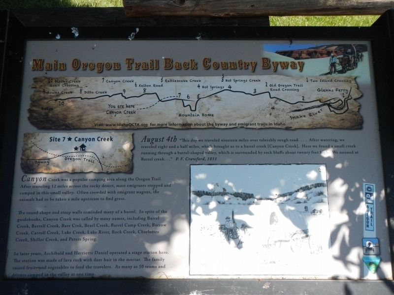
Site 7 ★ Canyon Creek
Main Oregon Trail Back County Byway
Photographed by Barry Swackhamer, May 16, 2018
1. Site 7 ★ Canyon Creek Marker
Canyon Creek was a popular camping area along the Oregon Trail. After traveling 12 miles across the rocky desert, most emigrants stopped and camped in this small valley. Often crowded with emigrant wagons, the animals had to be taken a mile upstream to find grass.
The round shape and steep walls reminded many of a barrel. In spite of the guidebooks, Canyon Creek was called by many names, including Barrel Creek, Barrell Creek, Bearl Camp Creek, Barrow Creek, Carrol Creek, Lake Creek, Lake River, Rock Creek, Charlottes Creek, Shillot Creek, and Peters Spring.
Erected by Bureau of Land Management; Oregon-California Trails Association, Idaho Chapter. (Marker Number 7.)
Topics and series. This historical marker is listed in these topic lists: Roads & Vehicles
this page online
Location. 43° 15.714′ N, 115° 42.216′ W. Marker is near Mountain Home, Idaho, in Elmore County. It is on Canyon Creek/Mayfield Road near Memory Lane, on the right when traveling west. Touch for map. Marker is at or near this postal address: 6825 Mayfield Road, Mountain Home ID 83647, United States of America. Touch for directions.

Regionally, this marker is on Idaho’s Snake River Plain, in Greater Boise, and on the Shoshone–Paiute Duck Valley Reservation. It is also in the American Mountain West. Globally, it is in North America, the Rocky Mountains, the Western Hemisphere, the Western World, and the Anglosphere.
Other nearby markers. At least 8 other markers are within 9 miles of this marker, measured as the crow flies: Canyon Creek Station (a few steps from this marker); Site 6 ★ Kelton Road (approx. 3½ miles away); Toll Gate (approx. 6.3 miles away); Rattlesnake Station (approx. 8.2 miles away); Site 5 ★ Rattlesnake Creek (approx. 8.2 miles away); Site 8 ★ Ditto Creek
Photographed by Barry Swackhamer, May 16, 2018
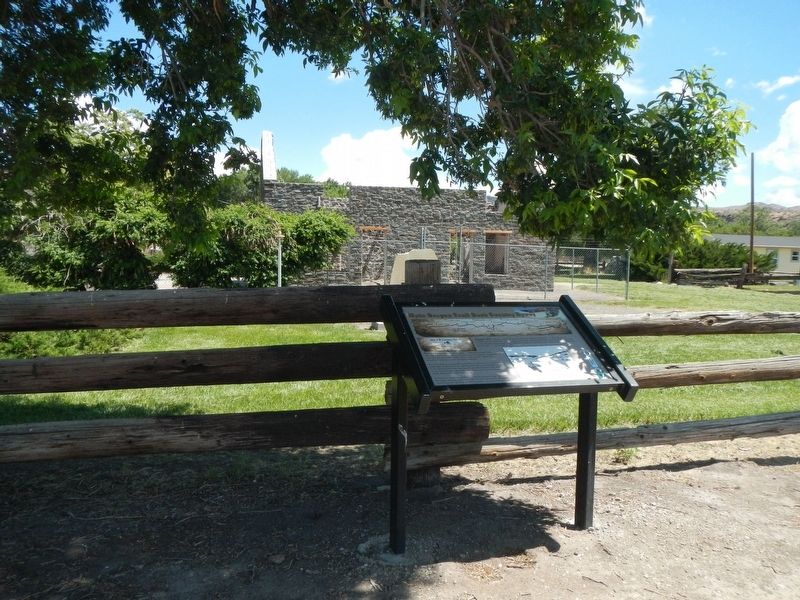
2. Site 7 ★ Canyon Creek Marker
More about this marker. Should anyone wish to follow this portion of the Oregon Trail, I suggest they obtain a copy of the Main Oregon Trail Back Country Byway brochure by the BLM and OCTA. It is generally available at local visitors centers.
Photographed by Barry Swackhamer, May 16, 2018
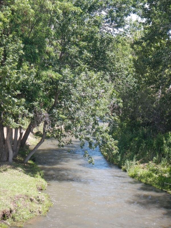
3. Canyon Creek
Credits. This page was last revised on November 1, 2018. It was originally submitted on November 1, 2018, by Barry Swackhamer of Brentwood, California. This page has been viewed 550 times since then and 44 times this year. Photos: 1, 2, 3. submitted on November 1, 2018, by Barry Swackhamer of Brentwood, California.
