Near Boise in Ada County, Idaho — The American West (Mountains)
Site 10 ★ Blacks Creek Road Crossing
Photographed by Barry Swackhamer, May 16, 2018
1. Site 10 ★ Blacks Creek Road Crossing Marker
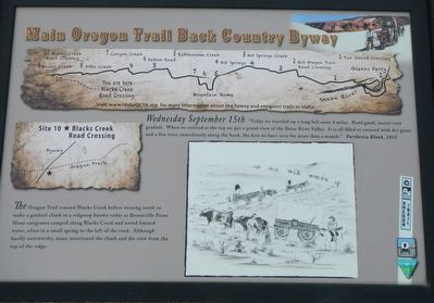
Map of the Main Oregon Trail Back County Byway across the top.
The Oregon Trail crossed Blacks Creek before turning north to make a gradual climb to a ridgetop known today as Bonneville Point. Many emigrants camped along Blacks Creek and noted limited water, often in a small spring to the left of the road. Although hardly noteworthy, many mentioned the climb and the view from the top of the ridge.
Erected by Bureau of Land Management; Oregon-California Trails Association, Idaho Chapter. (Marker Number 10.)
Topics and series. This historical marker is listed in this topic list: Roads & Vehicles. In addition, it is included in the Oregon Trail series list. A significant historical date for this entry is September 15, 1852.
Location. 43° 28.698′ N, 116° 1.656′ W. Marker is near Boise, Idaho, in Ada County. It is on Black Creek Road near Songbird Lane, on the
this page online

Regionally, this marker is on the Snake River Plain. It is also in the American Mountain West. Globally, it is in North America, the Western Hemisphere, the Western World, and the Anglosphere.
Other nearby markers. At least 8 other markers are within 4 miles of this marker, measured as the crow flies: Bonneville Point (approx. 1.1 miles away); Captain Bonneville (approx. 1.1 miles away); The Shoshone and Northern Paiute (approx. 1.1 miles away); The Fur Trade and the Tide of Emigration (approx. 1.1 miles away); The Hunt Expedition (approx. 1.1 miles away); The Foote Legacy in Idaho (approx. 3.7 miles away); Basque Country (approx. 3.9 miles away); Oregon Trail (approx. 4 miles away). Touch for a list and map of all markers in Boise.
Regarding Site 10 ★ Blacks Creek Road Crossing. Should anyone wish to follow this portion of the Oregon Trail, I suggest they obtain a copy of the Main Oregon Trail Back Country Byway brochure by the BLM and OCTA. It is generally available at local
Photographed by Barry Swackhamer, May 16, 2018
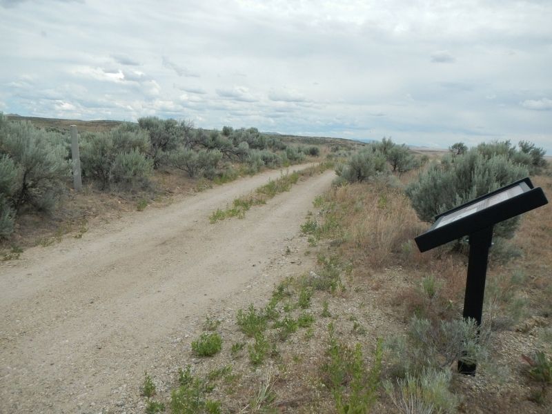
2. Site 10 ★ Blacks Creek Road Crossing Marker
Credits. This page was last revised on December 28, 2024. It was originally submitted on November 2, 2018, by Barry Swackhamer of Brentwood, California. This page has been viewed 2,242 times since then and 161 times this year. Photos: 1, 2. submitted on November 2, 2018, by Barry Swackhamer of Brentwood, California.
