Near Boron in San Bernardino County, California — The American West (Pacific Coastal)
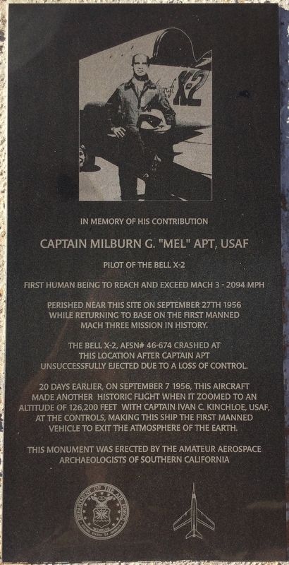
Capt. Mel Apt, USAF
Pilot of the Bell X-2
Photographed by Craig Baker
1. Mel Apt Marker
In Memory of his Contribution
Captain Milburn G. “Mel” Apt, USAF
Pilot of the Bell X-2
First human being to reach and exceed Mach 3 — 2094 MPH
Perished near this site on September 27th 1956 while returning to base on the first manned Mach Three mission in history.
The Bell X-2, AFSN# 46-674, crashed at this location after Captain Apt unsuccessfully ejected due to a loss of control.
20 days earlier, on September 7, 1956, this aircraft made another historic flight when it zoomed to an altitude of 126,200 feet with Captain Ivan C. Kinchloe, USAF, at the controls, making this ship the first manned vehicle to exit the atmosphere of the Earth.
Erected by Amateur Aerospace Archaeologists of Southern California.
Topics. This historical marker is listed in these topic lists: Air & Space • Exploration • Science & Medicine. A significant historical date for this entry is September 27, 1956.
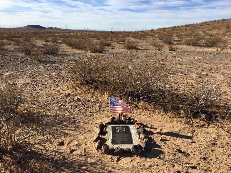
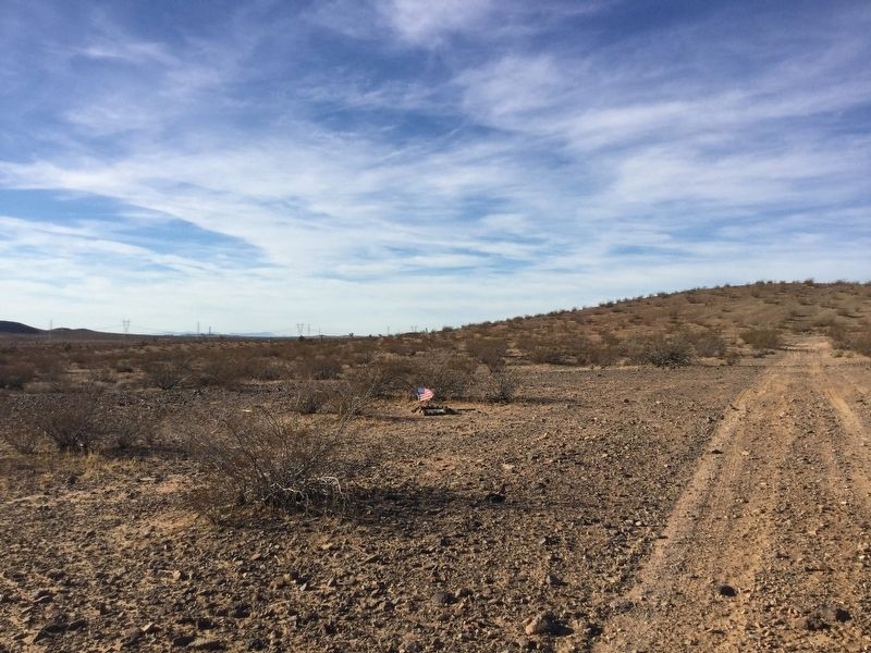
Location. 34° 52.527′ N, 117° 29.826′ W. Marker is near Boron, California, in San Bernardino County. It can be reached from U.S. 395 south of California Route 58. Located 9 miles south of Kramer Junction, a half mile east of Highway 395, near an un-named, rough dirt road. Touch for map. Marker is in this post office area: Boron CA 93516, United States of America. Touch for directions.

Regionally, this marker is in Greater Los Angeles, in the Mojave Desert, in the Peninsular Ranges, and specifically in the Transverse Ranges. It is also in the American Southwest. Globally, it is in North America, on the Ring of Fire, on the Pacific Rim, in the Western Hemisphere, in the Western World, and in the Anglosphere. Historically, it finds itself in what was once New Spain and also Mexico’s Alta California.
Other nearby markers. At least 8 other markers are within 16 miles of this marker, measured as the crow flies: Rocket Site (approx. 11.8 miles away); Miner's Cabin (approx. 12.2 miles away); Florence Lowe “Pancho” Barnes (approx. 12.2 miles away); Twenty-Mule Teams (approx. 12.2 miles away); 100 Year Time Capsule
this page online
Photographed by Craig Baker, November 2, 2018
2. Mel Apt Marker
Photographed by Craig Baker, November 2, 2018
3. Mel Apt Marker
courtesy NASA
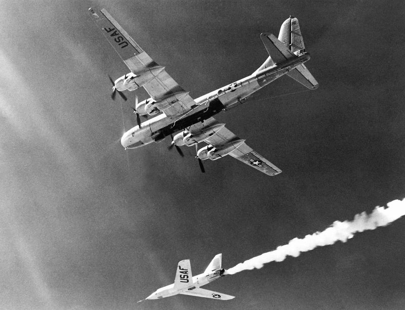
4. Bell X-2
The Bell Aircraft Company X-2 (46-674) drops away from its Boeing B-50 mothership.
Credits. This page was last revised on June 22, 2025. It was originally submitted on November 2, 2018, by Craig Baker of Sylmar, California. This page has been viewed 709 times since then and 41 times this year. Photos: 1, 2, 3. submitted on November 2, 2018, by Craig Baker of Sylmar, California. 4. submitted on June 2, 2025, by Craig Baker of Sylmar, California. • Andrew Ruppenstein was the editor who published this page.
