
Falls Church, Virginia — The American South (Mid-Atlantic)
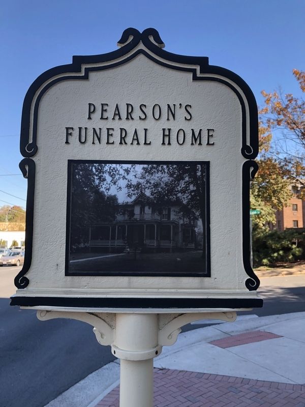
Pearson's Funeral Home
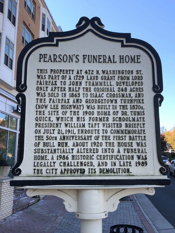
Erected by City of Falls Church.
Topics and series. This historical marker is listed in these topic lists: Government & Politics • Industry & Commerce • Roads & Vehicles. In addition, it is included in the Former U.S. Presidents: #27 William Howard Taft, and the Virginia, City of Falls Church series lists. A significant historical date for this entry is July 21, 1911.
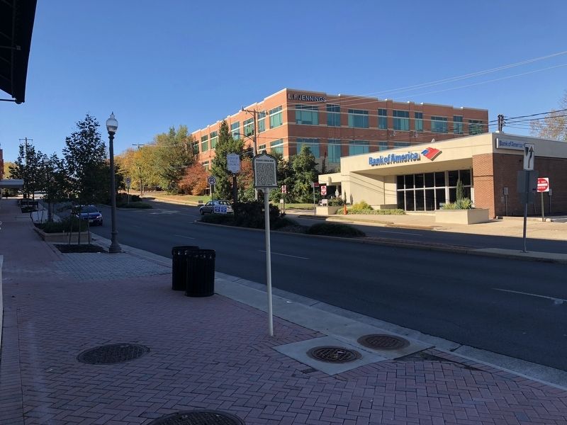
Location. 38° 53.131′ N, 77° 9.888′ W. Marker is in Falls Church, Virginia. It is at the intersection of North
this page online

Regionally, this marker is in the Washington Metropolitan Area and in Northern Virginia. It is also in the American South, specifically in the Upper South, and in the Mid-Atlantic. Globally, it is in North America, the Western Hemisphere, the Western World, and the Anglosphere. Historically, it finds itself in what was once the territory of the Mississippian Culture, one of the original Thirteen Colonies, one of the Confederate States of America, and the Antebellum South.
Other nearby markers. At least 8 other markers are within walking distance of this marker: Presidential Visit to Falls Church, 1911 (here, next to this marker); Benjamin Elliott's Coal Trestle (approx. 0.2 miles away); East Falls Church Station (approx. 0.2 miles away); East Falls Church (approx. ¼ mile away); Home Hill (approx. 0.3 miles away); Original Federal Boundary Stone, District of Columbia, Southwest 9
Another marker is no longer nearby. Arlington County / Fairfax County (was about 600 feet away, measured in a direct line but has been permanently removed).
Credits. This page was last revised on February 9, 2023. It was originally submitted on November 4, 2018, by Devry Becker Jones of Washington, District of Columbia. This page has been viewed 939 times since then and 73 times this year. Photos: 1, 2, 3. submitted on November 4, 2018, by Devry Becker Jones of Washington, District of Columbia. • Bernard Fisher was the editor who published this page.
