Lucerne Valley in San Bernardino County, California — The American West (Pacific Coastal)
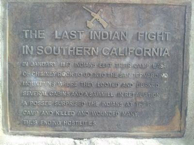
The Last Indian Fight in Southern California
Photographed by Richard Hawkins, March 27, 2013
1. Last Indian Fight Marker
In January 1867 Indians left their camp east of Chimney Rock to go into the San Bernardino Mountains where they looted and burned several cabins and a sawmill. In retaliation, a possee surprised the Indians at their camp and killed and wounded many, thus ending the hostilities.
Topics. This historical marker is listed in this topic list: Indigenous Peoples and Communities. A significant historical month for this entry is January 1867.
Location. 34° 27.013′ N, 117° 0.235′ W. Marker is in Lucerne Valley, California, in San Bernardino County. It is on Old Woman Springs Road (California Route 18) east of Rabbit Springs Road, on the right when traveling west. Marker is located approximately 500 feet east of the intersection. Touch for map. Marker is in this post office area: Lucerne Valley CA 92356, United States of America. Touch for directions.

Regionally, this marker is in Greater Los Angeles, in the Peninsular Ranges, and specifically in the Transverse Ranges. It is also in the American Southwest. Globally, it is in North America, on the Ring of Fire, in the Pacific Rim, in the Western Hemisphere, in the Western World,
this page online
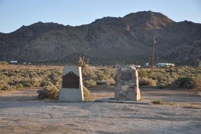
Other nearby markers. At least 8 other markers are within 15 miles of this marker, measured as the crow flies: Chimney Rock (here, next to this marker); Peter Davidson (approx. 2.2 miles away); People Came and Left This Meadow (approx. 12.3 miles away); Bellevill Holcomb Valley (approx. 12.3 miles away); The Pigmy Cabin (approx. 12½ miles away); A National Hero, a Local Hero (approx. 13.6 miles away); Big Bear Solar Observatory (approx. 13.9 miles away); Big Bear Valley (approx. 14.4 miles away). Touch for a list and map of all markers in Lucerne Valley.
Another marker is no longer nearby. Holcomb Valley (was approx. 12.3 miles away but has been confirmed missing).
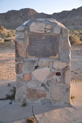
More about this marker. The marker is next to the highway, in an easily-accessible turnout.
Photographed by Michael Kindig, April 24, 2010
2. Last Indian Fight Marker
Photographed by Michael Kindig, April 24, 2010
3. Chimney Rock and Last Indian Fight Markers
Photographed by Richard Hawkins, March 27, 2013
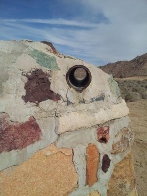
4. Last Indian Fight Marker
Looking through the tube shows the location of this event.
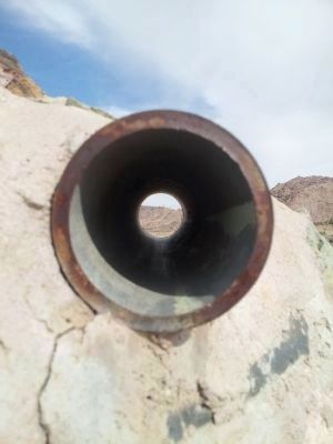
Photographed by Richard Hawkins, March 27, 2013
5. Sight Tube
Credits. This page was last revised on September 4, 2024. It was originally submitted on December 23, 2011, by Michael Kindig of Elk Grove, California. This page has been viewed 3,165 times since then and 131 times this year. Last updated on November 5, 2018, by Craig Baker of Sylmar, California. Photos: 1. submitted on March 27, 2013, by Richard Hawkins of Phelan, California. 2, 3. submitted on December 23, 2011, by Michael Kindig of Elk Grove, California. 4, 5. submitted on March 27, 2013, by Richard Hawkins of Phelan, California. • Andrew Ruppenstein was the editor who published this page.
