Charles Town in Jefferson County, West Virginia — The American South (Appalachia)
Charles Washington's Town
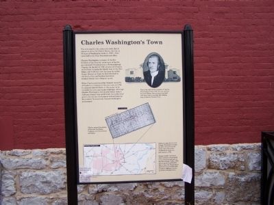
Charles Washington, youngest of the five brothers of the General, spent most of his life as a successful businessman in Fredericksburg, Virginia. In the fall of 1780, 42-year-old Charles moved here, bringing his family west of the Blue Ridge, and building a new log home he called Happy Retreat on lands he had inherited at the death of his half-brother Lawrence. Brother George was a frequent guest.
When Charles petitioned the General Assembly of Virginia to incorporate his new town in 1786, he donated four lots here, at the center, to be available for town and county buildings. Although Charles Washington died shortly before today's Jefferson County was established, his "public lots" grew to be the hub for business and government for a country he accurately forecast would grow and prosper.
Eighteen-year-old surveyor George Washington bought his first 453 acres of real estate just a few miles southwest of where you now stand in 1750.
George quickly convinced other members of his family to buy lands he had seen in the Shenandoah Valley while surveying for Lord Fairfax. Before long, the Washingtons held title to over 6000 acres of today's Jefferson County, all close to Charles Town.
Topics. This historical marker is listed in these topic lists: Colonial Era • Settlements & Settlers. A significant historical year for this entry is 1786.
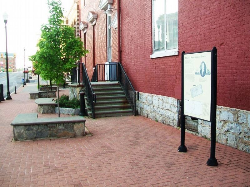
Location. 39° 17.362′ N, 77° 51.603′ W. Marker is in Charles Town, West Virginia, in Jefferson County. Marker is at the intersection of George Street and Washington Street, on the right when traveling north on George Street. Marker is along the SW side of the county courthouse. Touch for map. Marker is in this post office area: Charles Town WV 25414, United States of America. Touch for directions.
Other nearby markers. At least 8 other markers are within walking distance of this marker. Explore the Washington Heritage Trail / Afoot in Historic Charles Town (here, next to this marker); Two Treason Trials (here, next to this marker); Colonel Charles Washington (a few steps from this marker); Martin R. Delany (a few steps from this marker); The Trial of John Brown (a few steps from this marker); Charles Washington Hall (a few steps from this marker); New Central Restaurant (within shouting distance of this marker); Jefferson County World War II Memorial (within shouting distance of this marker). Touch for a list and map of all markers in Charles Town.
Regarding Charles Washington's Town.
Portrait
This is the only known portrait of Charles Washington (1738-1799). You can still see his home Happy Retreat about one half mile from here if you take the walking tour of historic Charles Town.
1830 Map of Charles Town
Charles named the streets of his town for liberty, Congress, and his brothers and sister.
Bottom Map
Washington Family Lands
Related marker. Click here for another marker that is related to this marker. Happy Retreat - Home of Charles Washington
Also see . . . Charles Washington - Wikipedia. (Submitted on October 17, 2008, by Bill Pfingsten of Bel Air, Maryland.)
Credits. This page was last revised on December 28, 2019. It was originally submitted on October 17, 2008, by Bill Pfingsten of Bel Air, Maryland. This page has been viewed 2,549 times since then and 39 times this year. Photos: 1. submitted on October 17, 2008, by Bill Pfingsten of Bel Air, Maryland. 2. submitted on May 16, 2017, by William Fischer, Jr. of Scranton, Pennsylvania.

