Putnam in Northeastern Region, Connecticut — The American Northeast (New England)
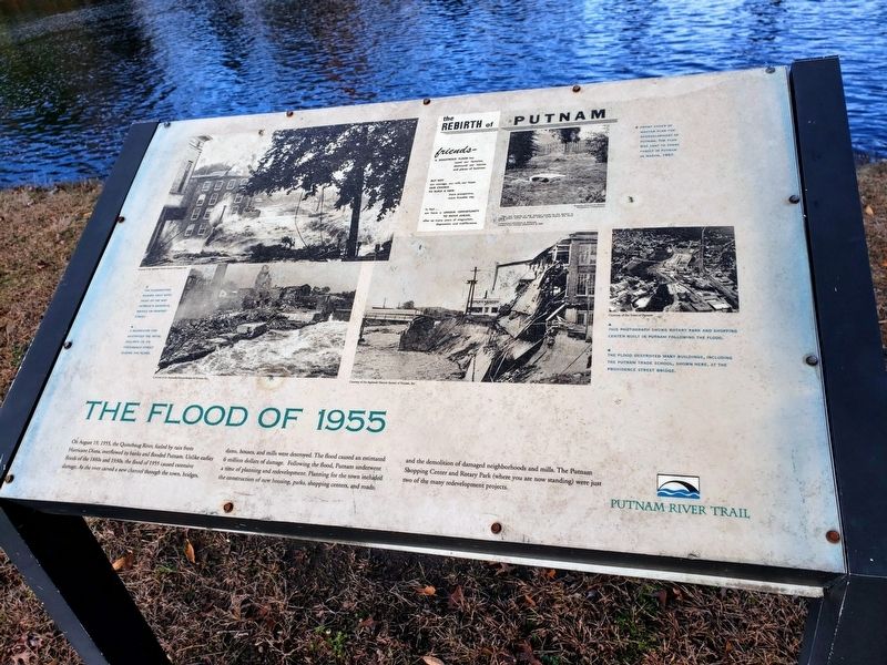
The Flood of 1955
The rebirth of Putnam
| — | Putnam River Trail | — |
November 8, 2018
1. The Flood of 1955 Marker
Topics. This historical marker is listed in these topic lists: Disasters • Waterways & Vessels. A significant historical year for this entry is 1955.
Location. 41° 55.026′ N, 71° 54.68′ W. Marker is in Putnam in Northeastern Region, Connecticut. It is on Kennedy Drive. Touch for map. Marker is in this post office area: Putnam CT 06260, United States of America. Touch for directions.

Regionally, this marker
this page online
Other nearby markers. At least 8 other markers are within 3 miles of this marker, measured as the crow flies: Morse Mansion (about 500 feet away, measured in a direct line); World War Memorial Bridge (about 700 feet away); Cargill Falls Mill (about 700 feet away); Putnam (approx. half a mile away); Putnam Civil War Statue (approx. half a mile away); Thompson Revolutionary War Memorial (approx. 2½ miles away); South Woodstock (approx. 2.9 miles away); In Honor of the Men of Pomfret (approx. 3 miles away). Touch for a list and map of all markers in Putnam.
Also see . . . 1955 Connecticut floods Wikipedia. (Submitted on November 8, 2018.)
Credits. This page was last revised on May 19, 2026. It was originally submitted on November 8, 2018. This page has been viewed 1,147 times since then and 82 times this year. Photo 1. submitted on November 8, 2018. • Bill Pfingsten was the editor who published this page.
