Putnam in Northeastern Region, Connecticut — The American Northeast (New England)
Cargill Falls Mill
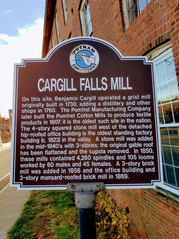
November 8, 2018
1. Cargill Falls Mill Marker
Topics. This historical marker is listed in these topic lists: Colonial Era • Industry & Commerce. A significant historical year for this entry is 1730.
Location. 41° 54.903′ N, 71° 54.686′ W. Marker is in Putnam in Northeastern Region, Connecticut. It is on Pomfret Street (Route 44), on the right when traveling north. Touch for map. Marker is at or near this postal address:
this page online

Regionally, this marker is in Connecticut’s Quiet Corner. It is also in the American Northeast and in New England. Globally, it is in North America, the Western Hemisphere, the Western World, and the Anglosphere. Historically, it finds itself in what was once Windham County and also one of the original Thirteen Colonies.
Other nearby markers. At least 8 other markers are within 3 miles of this marker, measured as the crow flies: World War Memorial Bridge (within shouting distance of this marker); The Flood of 1955 (about 700 feet away, measured in a direct line); Morse Mansion (approx. 0.2 miles away); Putnam Civil War Statue (approx. half a mile away); Putnam (approx. 0.6 miles away); Thompson Revolutionary War Memorial (approx. 2.6 miles away); In Honor of the Men of Pomfret (approx. 2.9 miles away); South Woodstock (approx. 3 miles away). Touch for a list and map of all markers in Putnam.
Also see . . . Cargill Falls Mill Wikipedia. (Submitted on November 8, 2018.)
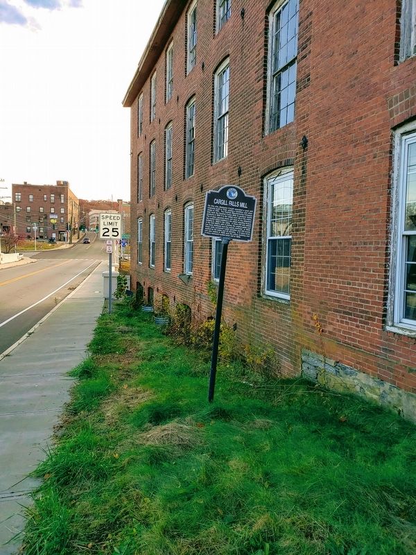
November 8, 2018
2. Cargill Falls Mill
Credits. This page was last revised on May 19, 2026. It was originally submitted on November 8, 2018. This page has been viewed 746 times since then and 48 times this year. Photos: 1, 2. submitted on November 8, 2018. • Bill Pfingsten was the editor who published this page.
