
Near Kenova in Wayne County, West Virginia — The American South (Appalachia)
Veterans Administration Hospital
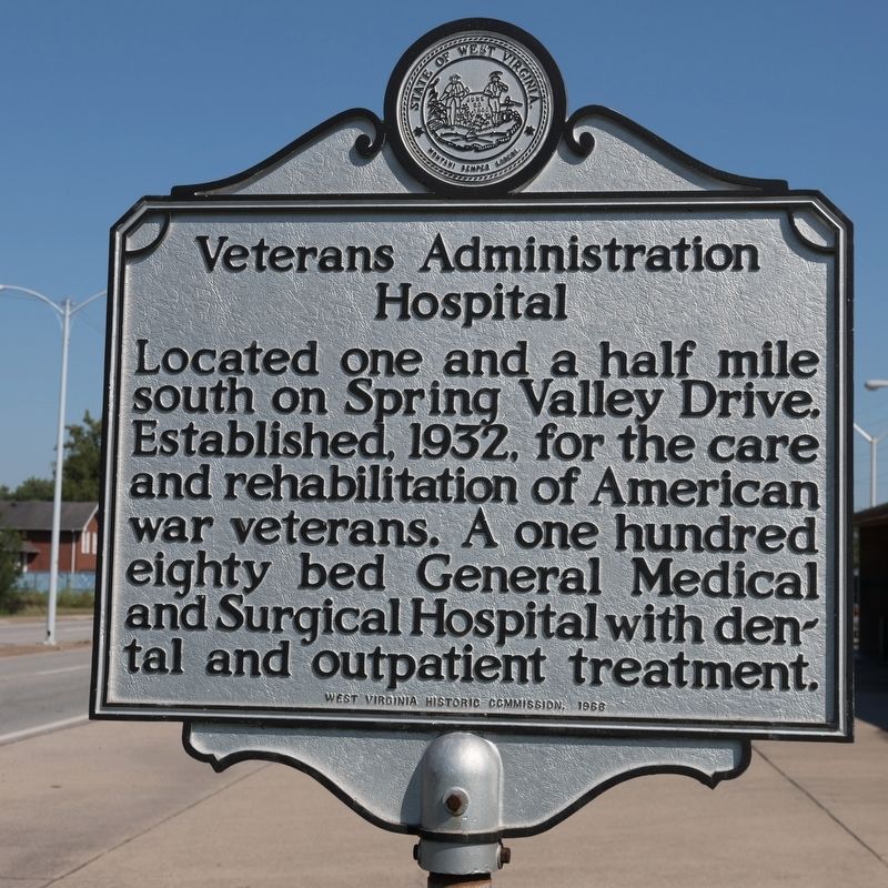
Photographed by J. J. Prats, September 29, 2018
1. Veterans Administration Hospital Marker
Erected 1966 by West Virginia Historic Commission.
Topics and series. This historical marker is listed in these topic lists: Military • Science & Medicine. In addition, it is included in the West Virginia Archives and History series list. A significant historical year for this entry is 1932.
Location. 38° 23.916′ N, 82° 31.167′ W. Marker is near Kenova, West Virginia, in Wayne County. It is at the intersection of Waverly Road (U.S. 60) and Burlington Road, on the left when traveling west on Waverly Road. Carson Street, the next intersection east, becomes Spring Valley Road. Touch for map. Marker is in this post office area: Huntington WV 25704, United States of America. Touch for directions.

Regionally, this marker is in the Kyova Tri-State Region and in the Southern Coalfields. It is also in the American South, specifically in the Upper South, in the Ohio River Valley,
this page online
Other nearby markers. At least 8 other markers are within 2 miles of this marker, measured as the crow flies: Indian Mound (approx. half a mile away); Burlington Veteran's Memorial (approx. ¾ mile away in Ohio); Burlington Commons (approx. 0.8 miles away in Ohio); Catalpa Tree (approx. 0.8 miles away in Ohio); The Promised Land (approx. 0.9 miles away in Ohio); Wayne County / Cabell County (approx. 1.2 miles away); Ceredo Settlers (approx. 1.9 miles away); Z. D. Ramsdell House (approx. 1.9 miles away).
Regarding Veterans Administration Hospital. It is now known as the Hershel “Woody” Williams VA Medical Center.
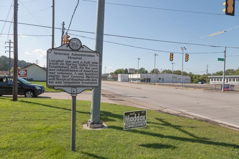
Photographed by J. J. Prats, September 29, 2018
2. Veterans Administration Hospital Marker
Credits. This page was last revised on October 16, 2025. It was originally submitted on November 8, 2018, by J. J. Prats of Powell, Ohio. This page has been viewed 574 times since then and 44 times this year. Photos: 1, 2. submitted on November 8, 2018, by J. J. Prats of Powell, Ohio.
Editor’s want-list for this marker. Photo of the Medical Center • Can you help?
