Near Junction in Kimble County, Texas — The American South (West South Central)
Morales Ranch
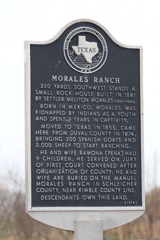
Photographed by Brian Anderson, November 8, 2018
1. Morales Ranch Marker
350 yards southwest stands a small rock house built in 1881 by settler Meliton Morales (1837-1924).
Born in Mexico, Morales was kidnapped by Indians as a youth and spent 9 years in captivity.
Moved to Texas in 1855. Came here from Duval County in 1874, bringing 200 Spanish goats and 2,000 sheep to start ranching.
He and wife Ramona (Pena) had 9 children. He served on jury of first court convened after organization of county. He and wife are buried on the Manuel Morales Ranch in Schleicher County, near Kimble County Line.
Descendants own this land.
Erected 1970 by State Historical Survey Committee. (Marker Number 3467.)
Topics. This historical marker is listed in these topic lists: Hispanic Americans • Settlements & Settlers. A significant historical year for this entry is 1874.
Location. 30° 36.212′ N, 99° 52.524′ W. Marker is near Junction, Texas, in Kimble County. It is at the intersection of Ranch to Market Road 2291 and County Road 210, on the left when traveling north on Road 2291. Touch for map. Marker is in this post office area: Junction TX 76849, United States of America. Touch for directions.

Regionally, this marker is in the Hill Country. Globally, it is in North America, a Gulf of Mexico state, the Western Hemisphere, the Western World, and the Anglosphere. Historically, it finds itself in what was once New Spain, the Republic of Texas, and one of the Confederate States of America.
Other nearby markers. At least 8 other markers are within 10 miles of this marker, measured as the crow flies: First Murr Ranch (approx. 0.9 miles away); Bear Creek Settlement (approx. 1.8 miles away); Brambletye (approx. 3 miles away); Old Bear Creek Texas Ranger Camp (approx. 6½ miles away); Campsite of Marques de Rubi, 1767 (approx. 6½ miles away); First Court in Kimble County (approx.
this page online
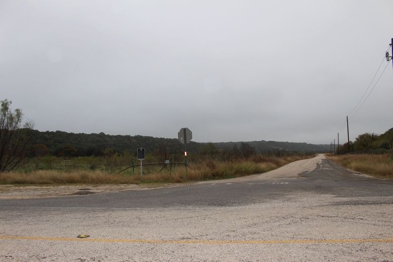
Photographed by Brian Anderson, November 8, 2018
2. Morales Ranch Marker
Credits. This page was last revised on November 27, 2020. It was originally submitted on November 12, 2018, by Brian Anderson of New Albany, Ohio. This page has been viewed 2,438 times since then and 151 times this year. Photos: 1, 2. submitted on November 12, 2018, by Brian Anderson of New Albany, Ohio. • Andrew Ruppenstein was the editor who published this page.
