Palmyra in Harrison County, Indiana — The American Midwest (Great Lakes)
Palmyra
Second Night in Indiana
| — | John Hunt Morgan Heritage Trail | — |
Photographed by Tom Bosse, July 5, 2018
1. Palmyra Marker
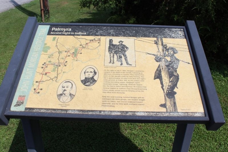
Early the next morning, General Morgan split his command into three groups, one headed straight north for Salem, one moved southeast toward Greenville, and the third went northwest toward Fredericksburg.
Erected by Historic Hoosier Hills RC&D, Inc. (Marker Number 5.)
Topics and series. This historical marker is listed in this topic list: War, US Civil. In addition, it is included in the John Hunt Morgan Heritage Trail in Indiana series list. A significant historical date for this entry is July 9, 1863.
Location. 38° 24.419′ N, 86° 6.615′ W. Marker
this page online

Regionally, this marker is in Southern Indiana. It is also in the American Midwest, in the Ohio River Valley, and in the Corn Belt. Globally, it is in North America, the Western Hemisphere, the Western World, and the Anglosphere. Historically, it finds itself in what was once the territory of the Mississippian Culture and also the Northwest Territory.
Other nearby markers. At least 8 other markers are within 10 miles of this marker, measured as the crow flies: John B. Ford (approx. 6.8 miles away); Greenville (approx. 6.9 miles away); Simpson Memorial Chapel (approx. 6.9 miles away); Norman J. Colman (approx. 6.9 miles away); Pekin's Fourth of July Celebrations (approx. 8.4 miles away); Indiana Pioneers Maj. George and Betsy Beck (approx. 9.3 miles away); Old Borden Tavern / Borden Museum (approx. 9.8 miles away); Borden Institute Site
Photographed by Tom Bosse, July 5, 2018
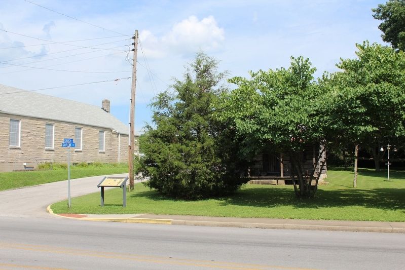
2. Palmyra Marker
Photographed by Tom Bosse
3. John Hunt Morgan Heritage Trail
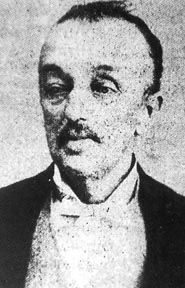
4. Lieutenant George “Lightning” Ellsworth, C.S.A.
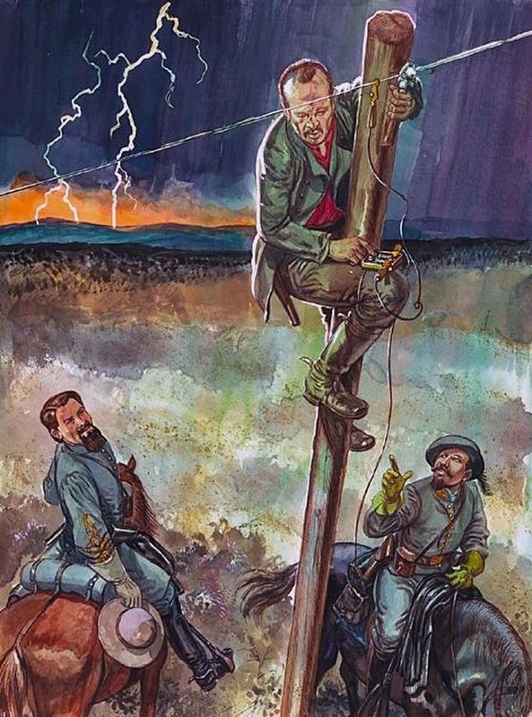
5. Lieutenant George “Lightning” Ellsworth, C.S.A.
Credits. This page was last revised on November 15, 2018. It was originally submitted on November 13, 2018, by Tom Bosse of Jefferson City, Tennessee. This page has been viewed 1,026 times since then and 94 times this year. Photos: 1, 2, 3, 4. submitted on November 13, 2018, by Tom Bosse of Jefferson City, Tennessee. 5. submitted on November 14, 2018, by Tom Bosse of Jefferson City, Tennessee. • Bernard Fisher was the editor who published this page.
