Ticonderoga in Essex County, New York — The American Northeast (Mid-Atlantic)
A Layered Legacy
Photographed by Bill Coughlin, November 10, 2018
1. A Layered Legacy Marker
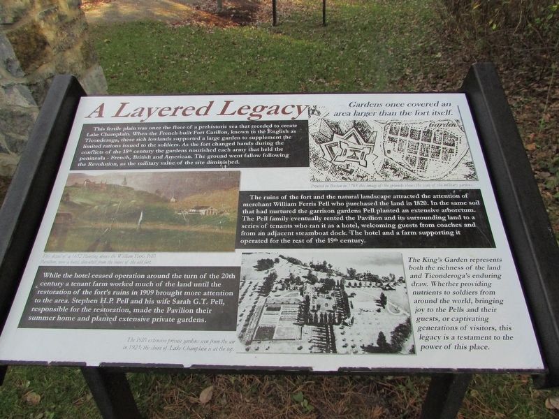
This fertile plain was once the floor of a prehistoric sea that receded to create Lake Champlain. When the French built Fort Carillon, known to the English as Ticonderoga, these rich lowlands supported a large garden to supplement the limited rations issued to the soldiers. As the fort changed hands during the conflicts of the 18th century the gardens nourished each army that held the peninsula – French, British and American. The ground went fallow following the Revolution, as the military value of the site diminished.
The ruins of the fort and the natural landscape attracted the attention of merchant William Ferris Pell who purchased the land in 1820. In the same soil that had nurtured the garrison gardens Pell planted an extensive arboretum. The Pell family eventually rented the Pavilion and its surrounding land to a series of tenants who ran it as a hotel, welcoming guests from coaches and from an adjacent steamboat dock. The hotel and a farm supporting it operated for the rest of the 19th century.
While the hotel ceased operation around the turn of the 20th century a tenant farmer worked much of the
this page online
The King’s Garden represents both the richness of the land and Ticonderoga’s enduring draw. Whether providing nutrients to soldiers from around the world, bringing joy to the Pells and their guests, or captivating generations of visitors, this legacy is a testament to the power of this place.
Topics. This historical marker is listed in these topic lists: Forts and Castles • War, French and Indian • War, US Revolutionary.
Location. 43° 50.519′ N, 73° 23.181′ W. Marker is in Ticonderoga, New York, in Essex County. It can be reached from Fort Ti Road. Marker is on the grounds of Fort Ticonderoga, at the entrance to the King’s Garden. Touch for map. Marker is in this post office area: Ticonderoga NY 12883, United States of America. Touch for directions.

Regionally, this marker is in Upstate New York, in the Adirondacks & North
Photographed by Bill Coughlin, November 10, 2018
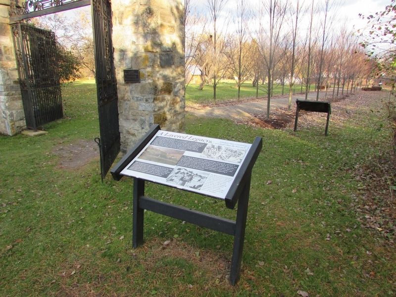
2. A Layered Legacy Marker
Other nearby markers. At least 8 other markers are within walking distance of this marker: Historic English Gate (a few steps from this marker); French Bake Ovens, 1757 (within shouting distance of this marker); a different marker also named French Bake Ovens, 1757 (within shouting distance of this marker); Magasin du Roi, 1756 (about 300 feet away, measured in a direct line); Preservation and Restoration at Ticonderoga (about 300 feet away); Gen. Henry Knox Trail (about 300 feet away); Lord & Burnham Estate Greenhouse (about 300 feet away); Breaking Ground (about 300 feet away). Touch for a list and map of all markers in Ticonderoga.
More about this marker. The upper right of the marker contains a drawing with a caption of “Printed in Boston in 1765 this
Photographed by Bill Coughlin, November 10, 2018
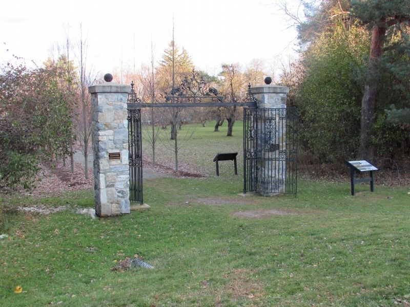
3. Marker at the King's Garden
The Layered Legacy marker is seen here to the right of the gates to the King's Gardens.
A picture on the left side of the marker has a caption of “This detail of a 1852 Painting shows the William Ferris Pell’s Pavillion, now a hotel, downhill from the ruins of the old fort.
A picture depicting an aerial view appears at the bottom of the marker. It includes a caption of “The Pell’s extensive private gardens seen from the air in 1923, the shore of Lake Champlain is at the top.”
Credits. This page was last revised on November 14, 2018. It was originally submitted on November 14, 2018, by Bill Coughlin of Woodland Park, New Jersey. This page has been viewed 309 times since then and 32 times this year. Photos: 1, 2, 3. submitted on November 14, 2018, by Bill Coughlin of Woodland Park, New Jersey.
