West Point in Hardin County, Kentucky — The American South (East South Central)
Fort Duffield
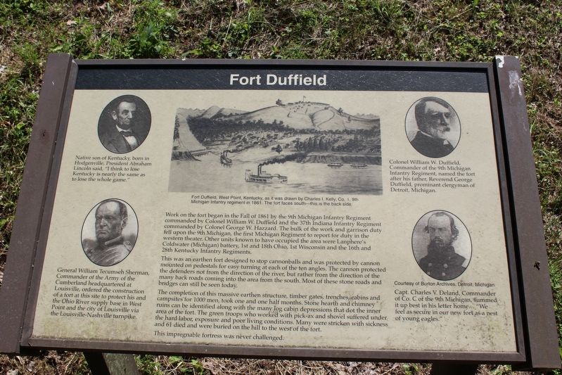
Work on the fort began in the Fall of 1861 by the 9th Michigan Infantry Regiment commanded by Colonel William W. Duffield and the 37th Indiana Infantry Regiment commanded by Colonel George W. Hazzard. The build of the work and garrison duty fell upon the 9th Michigan, the first Michigan Regiment to report for duty in the western theater. Other units known to have occupied the area were Lanphere’s Coldwater (Michigan) battery, 1st and 8th Ohio, 1st Wisconsin and the 16th and 28 Kentucky infantry Regiments.
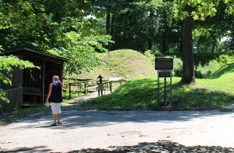
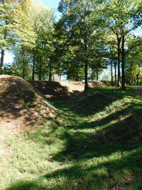
This was an earthen fort designed to stop cannonballs and was protected by cannon mounted on pedestals for easy turning at each of the ten angles. The cannon protected the defenders not from the direction of the river, but rather from the direction of the many back roads coming into the area from the south. Most of these stone roads and bridges can still be seen today.
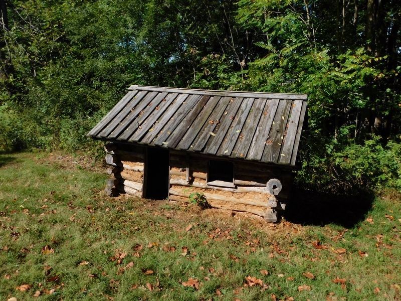
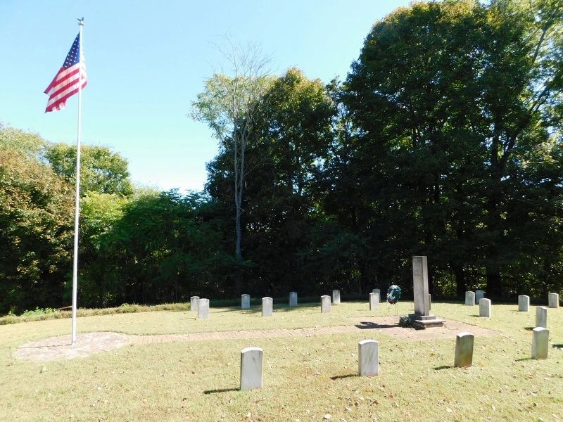
The completion of this massive earthen structure, timber gates, trenches, cabins and campsites for 1000 men, took one and one half months. Stone hearth and chimney ruins can be identified along with the many log cabin depressions that dot the inner area of the fort. The green troops who worked with pick-ax and shovel suffered under the hard labor, exposure and poor living conditions. Many were stricken with sickness and 61 died and were buried on the hill to the west of the fort.
This impregnable fortress was never challenged.
(captions)
Native son of Kentucky, born in Hodgenville, President Abraham Lincoln said, “I think to lose Kentucky is nearly the same as to lose the whole game.”
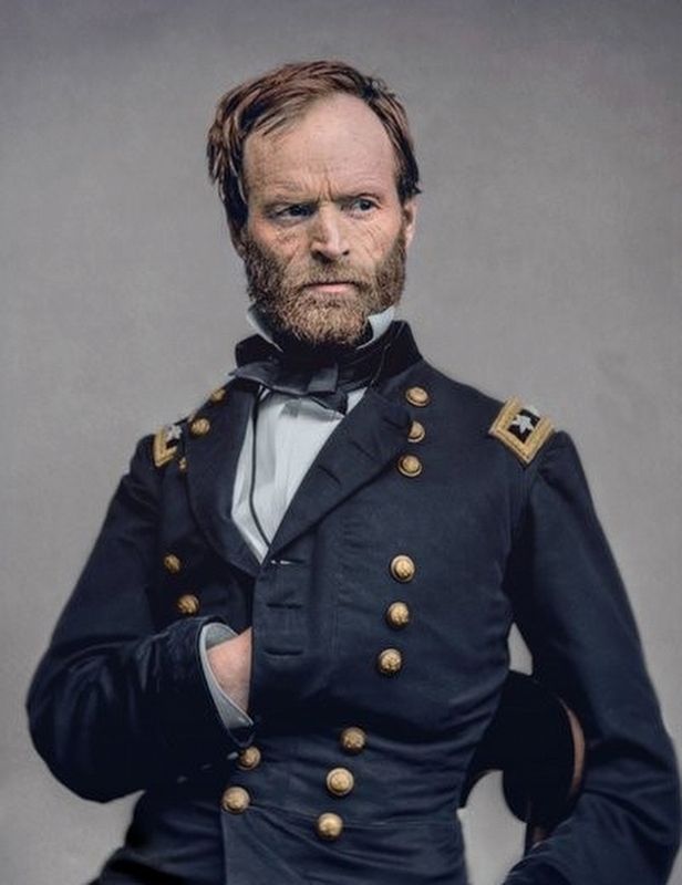
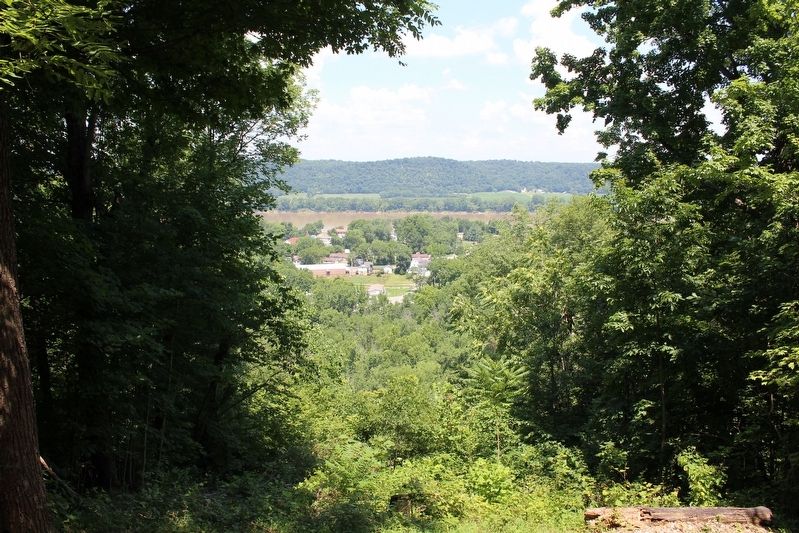
General William Techumseh Sherman, Commander of the Army of the Cumberland headquartered at Louisville, ordered the construction of a fort at this site to protect his and the Ohio River supply base in West Point and the city of Louisville via the Louisville-Nashville turnpike.
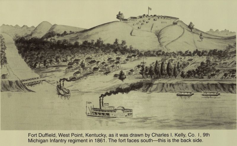
Fort Duffield, West Point, Kentucky, as it was drawn by Charles I. Kelly, Co. I, 9th Michigan Infantry Regiment in 1861. The fort faces south – this is the back side.
Colonel William W. Duffield, Commander of the the 9th Michigan Infantry Regiment, named the fort after his father, Reverend George Duffield, prominent clergyman of Detroit, Michigan.
Capt. Charles V. Deland, Commander of Co. C of the 9th Michigan, summed it up best in his letter home…”We feel as secure in our new fort as a nest of young eagles.”
Topics. This historical marker is listed in these topic lists: Forts and Castles • War, US Civil. A significant historical year for this entry is 1861.
Location. 37° 59.657′ N, 85° 56.635′ W. Marker is in West Point, Kentucky, in Hardin County. Marker can be reached from Honeysuckle Lane, half a mile south of Salt River Drive. Marker is located in Fort Duffield Park. Touch for map. Marker is in this post office area: West Point KY 40177, United States of America. Touch for directions.
Other nearby markers. At least 8 other markers are within walking distance of this marker. Civil War Fort Duffield (a few steps from this marker); U.S. Fort Duffield (within shouting distance of this marker); Redoubt (about 300 feet away, measured in a direct line); Stuckey Gun (about 300 feet away); Replica of Earthen Wall Cannon Emplacement (approx. 0.2 miles away); a different marker also named Fort Duffield (approx. ¼ mile away); Louisville, Henderson & St. Louis Bridge (approx. ¼ mile away); West Point (approx. 0.4 miles away). Touch for a list and map of all markers in West Point.
Also see . . . Fort Duffield: Kentucky's largest best preserved Earth Works Fort. Website homepage (Submitted on November 14, 2018, by Tom Bosse of Jefferson City, Tennessee.)
Credits. This page was last revised on November 15, 2022. It was originally submitted on November 14, 2018, by Tom Bosse of Jefferson City, Tennessee. This page has been viewed 282 times since then and 19 times this year. Photos: 1, 2, 3. submitted on November 14, 2018, by Tom Bosse of Jefferson City, Tennessee. 4, 5, 6. submitted on February 6, 2021, by Bradley Owen of Morgantown, West Virginia. 7, 8. submitted on November 14, 2018, by Tom Bosse of Jefferson City, Tennessee. • Bernard Fisher was the editor who published this page.
