Near West Point in Hardin County, Kentucky — The American South (East South Central)
U.S. Fort Duffield
Photographed by Tom Bosse, July 5, 2018
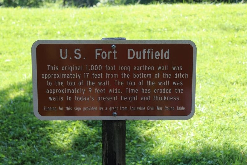
1. U.S. Fort Duffield Marker
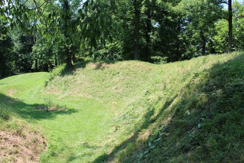
This original 1,000-foot long earthen wall was approximately 17 feet from the bottom of the ditch to the top of the wall. The top of the wall was approximately 9 feet wide. Time has eroded the walls to today’s present height and thickness.
Funding for this sign provided by a grant from Louisville Civil War Roundtable
Erected by Louisville Civil War Roundtable.
Topics. This historical marker is listed in these topic lists: Forts and Castles • War, US Civil.
Location. 37° 59.64′ N, 85° 56.598′ W. Marker is near West Point, Kentucky, in Hardin County. It can be reached from Salt River Drive. Marker is located in Fort Duffield Park. Touch for map. Marker is in this post office area: West Point KY 40177, United States of America. Touch for directions.

Regionally, this marker is in the American South and specifically in the Upper South. Globally, it is in North America, the Western Hemisphere, the Western World, and the Anglosphere. Historically, it finds itself in what was once the territory of the Mississippian Culture and also the Antebellum South.
this page online
Other nearby markers. At least 8 other markers are within walking distance of this marker: Redoubt (within shouting distance of this marker); Stuckey Gun (within shouting distance of this marker); Fort Duffield (within shouting distance of this marker); Civil War Fort Duffield (within shouting distance of this marker); Replica of Earthen Wall Cannon Emplacement (approx. 0.2 miles away); Louisville, Henderson & St. Louis Bridge (approx. ¼ mile away); a different marker also named Fort Duffield (approx. ¼ mile away); West Point (approx. 0.4 miles away). Touch for a list and map of all markers in West Point.
Also see . . . Fort Duffield: Kentucky's largest best preserved Earth Works Fort. Website homepage (Submitted on November 15, 2018, by Tom Bosse of Jefferson City, Tennessee.)
Photographed by Tom Bosse, July 5, 2018
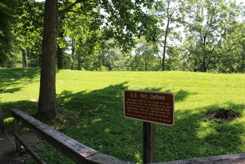
2. U.S. Fort Duffield Marker
Photographed by Tom Bosse, July 5, 2018
3. U.S. Fort Duffield Earthen Wall
Photographed by Tom Bosse, July 5, 2018
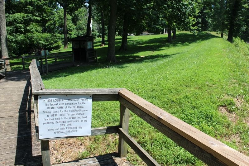
4. U.S. Fort Duffield
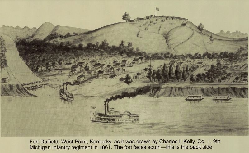
Photographed by Charles I. Kelly, 1861
5. U.S. Fort Duffield
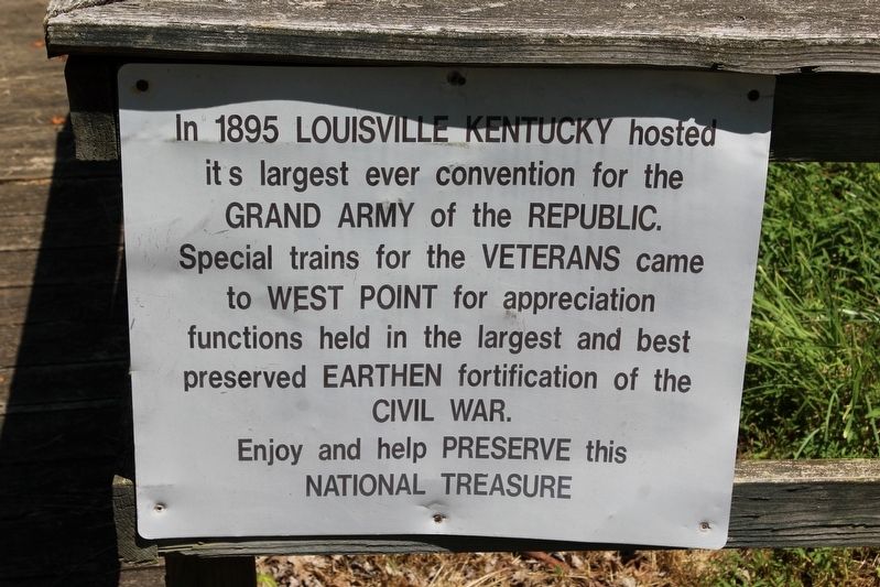
Photographed by Tom Bosse, July 5, 2018
6. U.S. Fort Duffield
Credits. This page was last revised on November 15, 2022. It was originally submitted on November 15, 2018, by Tom Bosse of Jefferson City, Tennessee. This page has been viewed 646 times since then and 30 times this year. Photos: 1, 2, 3, 4, 5, 6. submitted on November 15, 2018, by Tom Bosse of Jefferson City, Tennessee. • Andrew Ruppenstein was the editor who published this page.
