Greenup in Greenup County, Kentucky — The American South (East South Central)
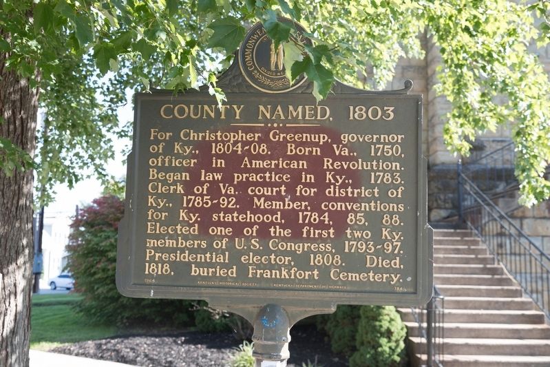
County Named, 1803
Erected 1964 by Kentucky Historical Society and Kentucky Department of Highways. (Marker Number 784.)
Topics and series. This historical marker is listed in these topic lists: Cemeteries & Burial Sites • Settlements & Settlers • War, US Revolutionary. In addition, it is included in the Kentucky Historical Society series list. A significant historical year for this entry is 1803.
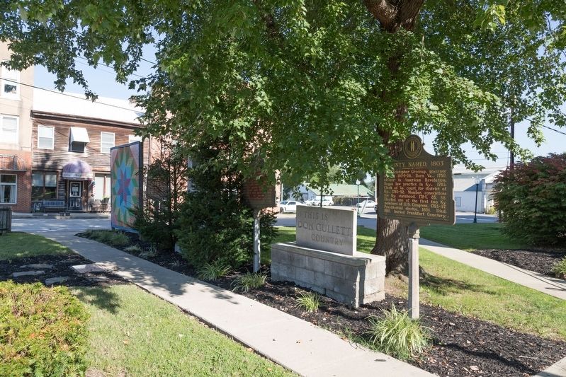
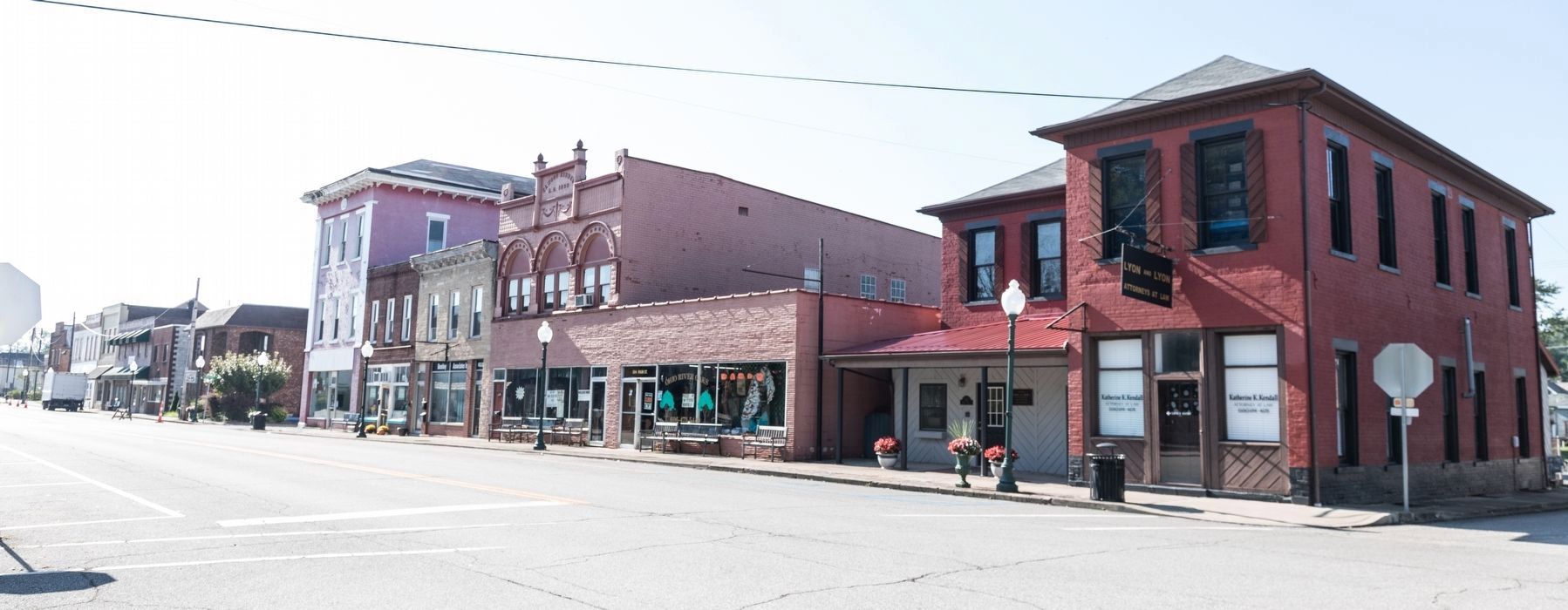
Location. 38° 34.688′ N, 82° 50.208′ W. Marker is in Greenup, Kentucky, in Greenup County. Marker is at the intersection of Main Street and Washington Street, on the left when traveling east on Main Street. Touch for map. Marker is in this post office area: Greenup KY 41144, United States of America. Touch for directions.
Other nearby markers. At least 8 other markers are within 4 miles of this marker, measured as the crow flies. Greenup “Town Fathers” (here, next to this marker); Jesse Stuart (here, next to this marker); A Masterful Retreat (here, next to this marker); Raccoon Furnace / Iron Made in Kentucky (approx. ¼ mile away); McKee House (approx. half a mile away); E. K. Railway (approx. 0.7 miles away); Jesse Stuart (1906-1984) (approx. 2.7 miles away); John M. McConnell House (approx. 3.2 miles away). Touch for a list and map of all markers in Greenup.
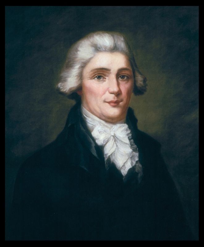
Also see . . . Wikipedia Entry for Christopher Greenup. “After his service in the war, Greenup helped settle the trans-Appalachian regions of Virginia. He became involved in politics, and played an active role in three of the ten statehood conventions that secured the separation of Kentucky from Virginia in 1792. He became one of the state’s first representatives, and served in the Kentucky General Assembly before being elected governor in a race where, due to his immense popularity, he ran unopposed.” (Submitted on November 15, 2018.)
Credits. This page was last revised on November 20, 2019. It was originally submitted on November 15, 2018, by J. J. Prats of Powell, Ohio. This page has been viewed 167 times since then and 16 times this year. Photos: 1, 2, 3, 4. submitted on November 15, 2018, by J. J. Prats of Powell, Ohio.


