Victor in Ontario County, New York — The American Northeast (Mid-Atlantic)
Palisades
Photographed by Anton Schwarzmueller, October 26, 2018
1. Palisades Marker
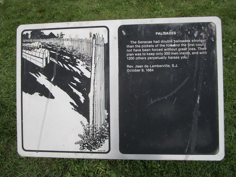
[1] Palisades
The Seneca had double palisades stronger than the pickets of the fort and the first could not have been forced without great loss. Their plan was to keep only 300 men inside, and with 1200 others perpetually harass you.
Rev. Jean de Lamberville, S.J.
October 9, 1684
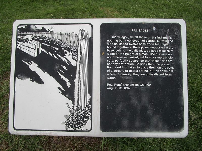
[2] Palisades
This village, like all those of the Indians is nothing but a collection of cabins, surrounded with palisades twelve or thirteen feet high, bound together at the top, and supported at the base, behind the palisades, by large masses of wood of the height of a man. The curtains are not otherwise flanked, but form a simple enclosure, perfectly square, so that these forts are not any protection. Besides this, the precaution is seldom taken to place them on the bank of a stream, or near a spring, but on some hill, where, ordinarily, they are quite distant from water.
Rev. Rene Brehant de Gallinee
August 12, 1669
Topics. This historical marker is listed in these topic lists: Forts and Castles • Indigenous Peoples and Communities. A significant historical date for this entry is August 12, 1669.
Location. 42° 57.868′ N, 77° 24.864′ W. Marker is in
this page online

Regionally, this marker is in Upstate New York, specifically in Western New York, in the Finger Lakes, and in the Rochester Metropolitan Area. It is also in the American Northeast and in the Mid-Atlantic. Globally, it is in North America, the Western Hemisphere, the Western World, and the Anglosphere. Historically, it finds itself in what was once the Haudenosaunee (Iroquois) Confederacy, New Netherland, and one of the original Thirteen Colonies.
Other nearby markers. At least 8 other markers are within walking distance of this marker: Gannagaro (within shouting distance of this marker); Gano'so:d (within
Photographed by Anton Schwarzmueller, October 26, 2018
2. Palisades Marker
Also see . . . Ganondagan - NYS Office of Parks, Recreation and Historic Preservation. Includes a link for the trail map. (Submitted on November 16, 2018, by Anton Schwarzmueller of Wilson, New York.)
Photographed by Anton Schwarzmueller, October 26, 2018
3. Palisades Marker 1
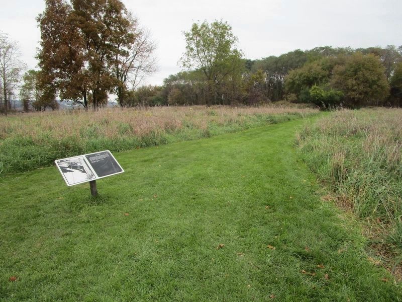
2nd marker north from behind the longhouse.
Photographed by Anton Schwarzmueller, October 26, 2018
4. Palisades Marker 2
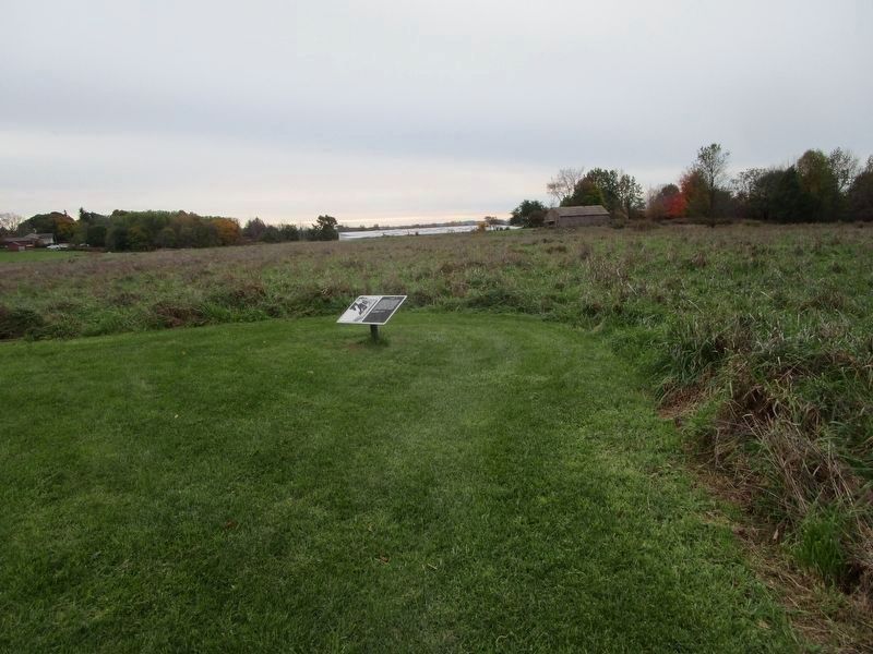
Last on the path north from the intersection area. 42.964514N, 77.413696W. The visitor center (white) and longhouse are in the background. View is southwest.
Credits. This page was last revised on November 18, 2018. It was originally submitted on November 16, 2018, by Anton Schwarzmueller of Wilson, New York. This page has been viewed 333 times since then and 20 times this year. Photos: 1. submitted on November 16, 2018, by Anton Schwarzmueller of Wilson, New York. 2. submitted on November 18, 2018, by Anton Schwarzmueller of Wilson, New York. 3. submitted on November 17, 2018, by Anton Schwarzmueller of Wilson, New York. 4. submitted on November 18, 2018, by Anton Schwarzmueller of Wilson, New York.
