Victor in Ontario County, New York — The American Northeast (Mid-Atlantic)
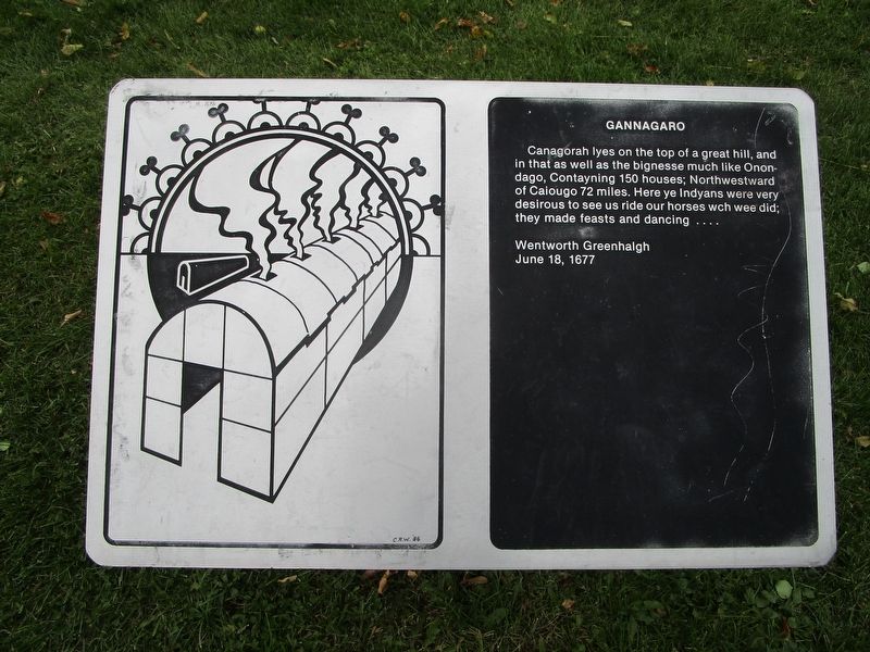
Gannagaro
Canagorah lyes on the top of a great hill, and in that as well as the bigness much like Onondago, contayning 150 houses; Northwestward of Caiougo 72 miles. Here ye Indyans were very desirous to see us ride our hourses wch wee did; they made feasts and dancing....
Wentworth Greenhalgh
June 18, 1677
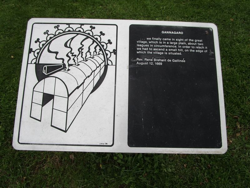
[2] Gannagaro
...we finally came in sight of the great village which is a large plain, about two leagues in circumference. Inorder to reach it we had to ascend a small hill, on the edge of which the village is situated.
Rev. Rene Brehant de Gallinee
August 12, 1669
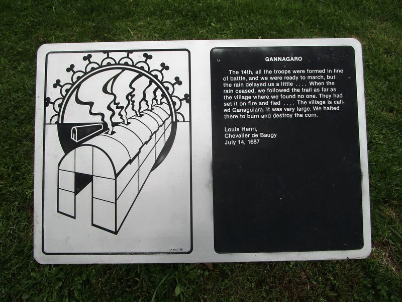
[3] Gannagaro
The 14th, all the troops were formed in line of battle, and we were ready to march, but the rain delayed us a little....When the rain ceased, we followed the trail as far as the village where we found no one. They had set it on fire and fled....The village is called Ganaguiara. It was very large. We halted there to burn and destroy the corn.
Louis Henri
Chevalier de Baugy
July 14, 1687
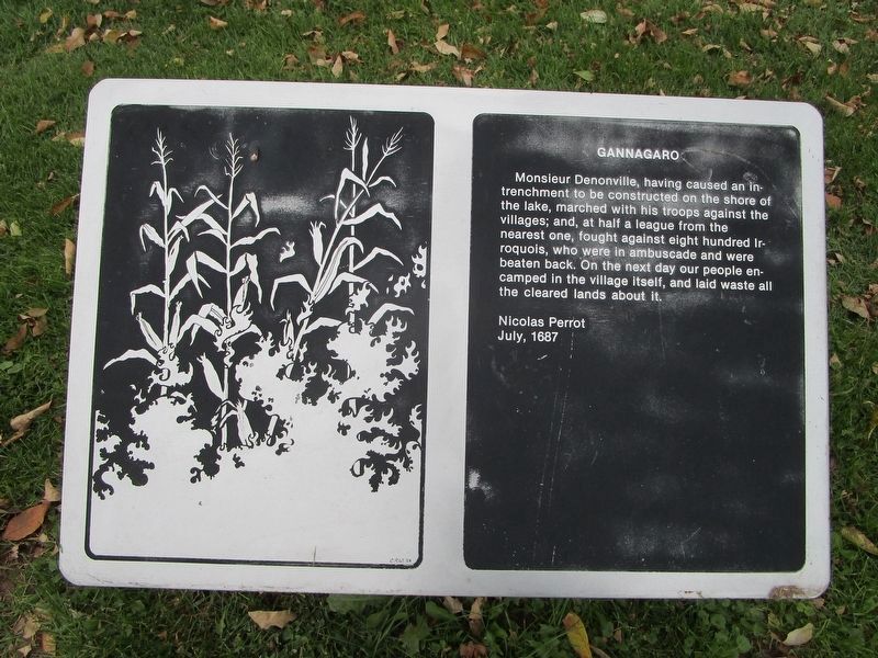
[4] Gannagaro
Monsieur Denonville, having caused an intrenchment to be constructed on the shore of the lake, marched with his troops against the villages; and, at half a league from the nearest one, fought against eight hundred Iroquois, who were in ambuscade and were beaten back. On the next day our people encamped in the village itself, and laid waste all the cleared lands about it.
Nicolas Perrot
July 1687
[5] Gannagaro
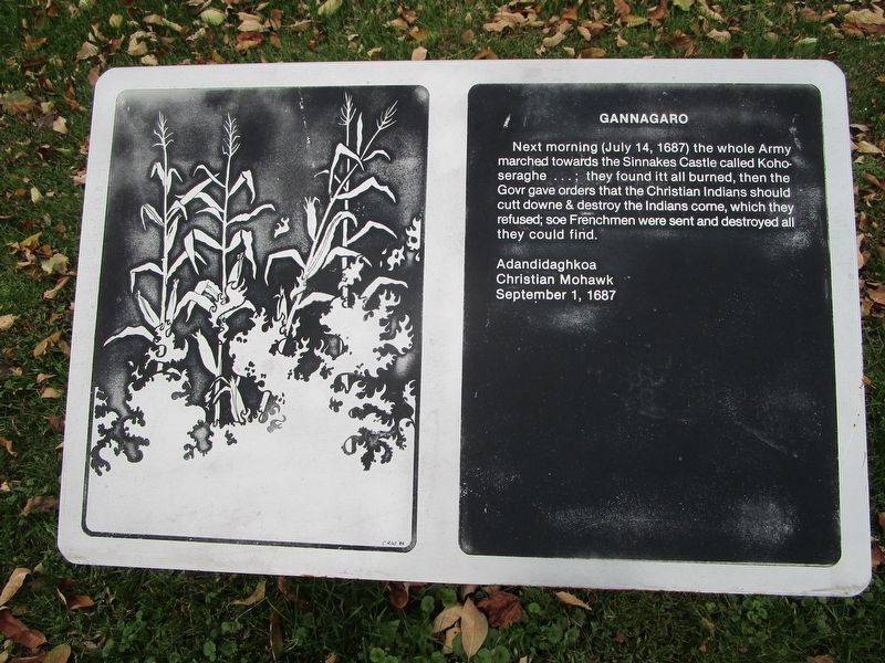
Next morning (July 14, 1687) the whole Army marched towards the Sinnakes Castle called Kohoseraghe...; they found itt all burned, then the Govr gave orders that the Christian Indians should cutt downe & destroy the Indians corne, which they refused; soe Frenchmen were sent and destroyed all they could find.
Adandidaghkoa
Christian Mohawk
September 1, 1687
[6] Gannagaro
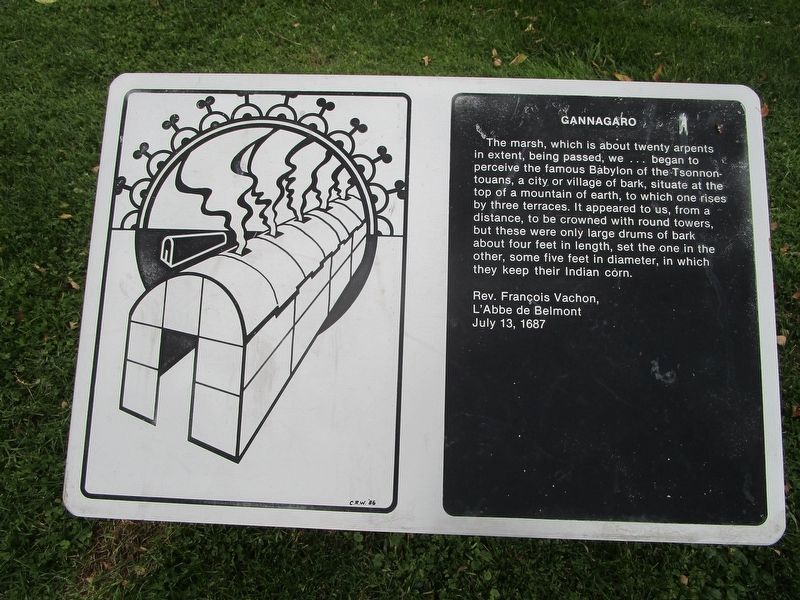
The marsh, which is about twenty arpents in extent, being passed, we...began to perceive the famous Babylon of the Tsonnontouans, a city or village of bark, situate at the top of a mountain of earth, to which one rises by three terraces. It appeared to us, from a distance, to be crowned with round towers, but these were only large drums of bark about four feet in length, set the one in the other, some five feet in diameter, in which they keep their Indian corne.
Rev. Francois Vachon,
L'Abbe de Belmont
July 13, 1687
[7] Gannagaro
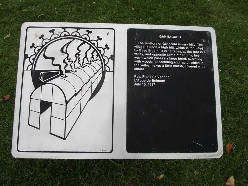
The territory of Gaaensara is very hilly. The village is upon a high hill, which is mounted by three little hills or terraces; at the foot is a valley, and opposite some other hills, between which passes a large brook overhung with woods, descending and rapid, which in the valley makes a little marsh, covered with alders.
Rev. Francois Vachon,
L'Abbe de Belmont
July 13, 1687
[8] Gannagaro
Pole in the Water
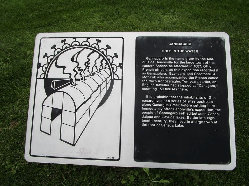
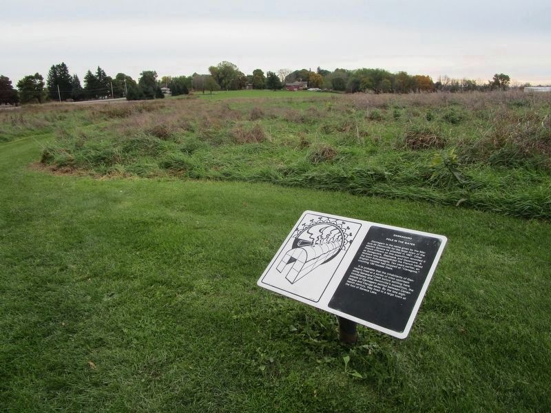
Gannagaro is the name given by the Marquis de Denonville for the large town of the eastern Seneca he attacked in 1687. Other French officers on this expedition recorded it as Ganaguiara, Gaensara, and Gazeroare. A Mohawk who accompanied the French called the town Kohosaeraghe. Ten years earlier, an English traveller had stopped at "Canagora," counting 150 houses there.
It is probable that the inhabitants of Gannagaro lived at a series of sites upstream along Ganargua Creek before settling here. Immediately after Deonville's expedition, the people of Gannagaro settled between Canandaigua and Cayuga lakes. By the late eighteenth century, they lived in a large town at the foor of Seneca Lake.
Topics. This historical marker is listed in these topic lists: Exploration • Native Americans. A significant historical date for this entry is June 18, 1677.
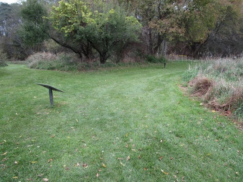
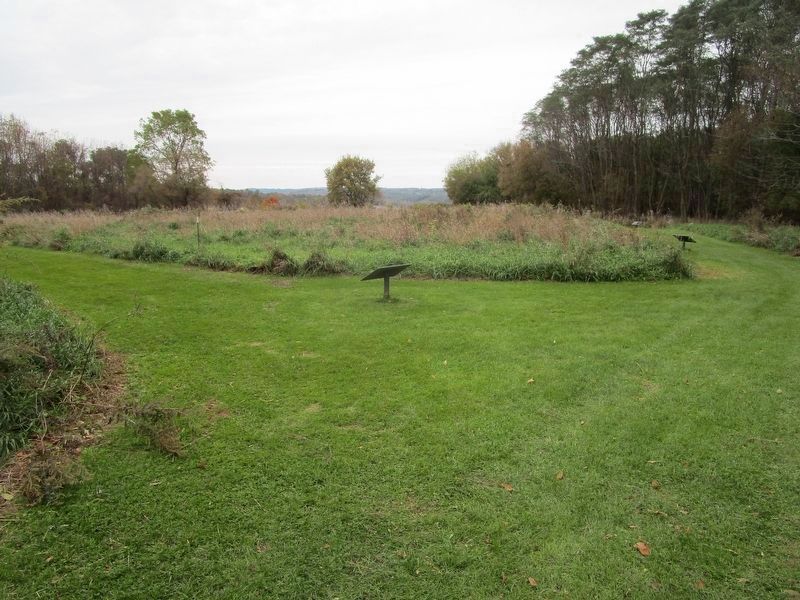
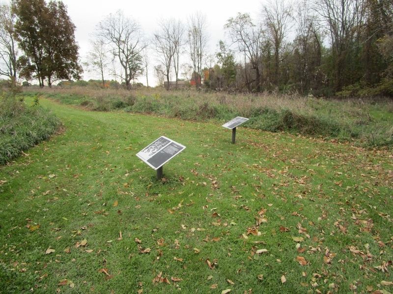
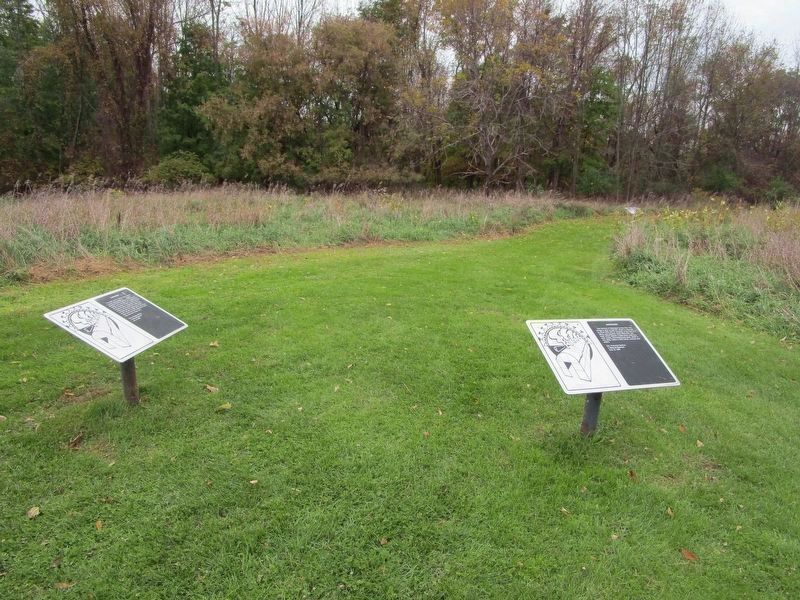
Location. 42° 57.887′ N, 77° 24.836′ W. Marker is in Victor, New York, in Ontario County. Marker can be reached from the intersection of Boughton Hill Road (County Route 41) and Victor Holcomb Road (New York State Route 444). Marker series is at Ganondagan New York State Historic Site. It is on the "Trail of Peace". The series begins where the northward leg from the visitor center and the northward leg parallel to NY route 444, meet. Touch for map. Marker is in this post office area: Victor NY 14564, United States of America. Touch for directions.
Other nearby markers. At least 8 other markers are within walking distance of this marker. Gano'so:d (a few steps from this marker); Palisades (within shouting distance of this marker); Graves (within shouting distance of this marker); Gahayanduk (about 400 feet away, measured in a direct line); Dyagodiyu (about 500 feet away); Jikonhsaseh (about 500 feet away); Spring (about 600 feet away); Women's Rights (about 600 feet away). Touch for a list and map of all markers in Victor.
Also see . . . Ganondagan - NYS Office of Parks, Recreation and Historic Preservation. Includes a link for the trail map. (Submitted on November 16, 2018, by Anton Schwarzmueller of Wilson, New York.)
Photographed By Anton Schwarzmueller, October 26, 2018
13. Gannagaro Marker 8
The text on this last one is a summary, rather than a historical quote, and is on the path parallel to NY 444 between the road intersection and the path junction; 42.964374N, 77.413339W. In this southward view, you may see in the background NY 444 at left, the visitor center (white) at right.
Credits. This page was last revised on November 18, 2018. It was originally submitted on November 16, 2018, by Anton Schwarzmueller of Wilson, New York. This page has been viewed 180 times since then and 13 times this year. Photos: 1. submitted on November 16, 2018, by Anton Schwarzmueller of Wilson, New York. 2, 3, 4, 5, 6, 7. submitted on November 17, 2018, by Anton Schwarzmueller of Wilson, New York. 8. submitted on November 18, 2018, by Anton Schwarzmueller of Wilson, New York. 9. submitted on November 16, 2018, by Anton Schwarzmueller of Wilson, New York. 10, 11, 12. submitted on November 17, 2018, by Anton Schwarzmueller of Wilson, New York. 13. submitted on November 18, 2018, by Anton Schwarzmueller of Wilson, New York.
