Woodbridge in Woodbridge Township in Middlesex County, New Jersey — The American Northeast (Mid-Atlantic)
Kirk Green
Photographed by Larry Gertner, October 20, 2018
1. Kirk Green Marker
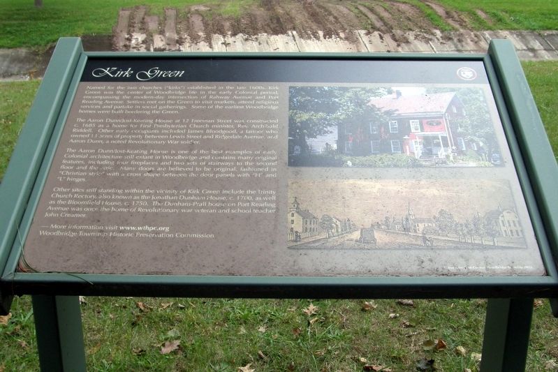
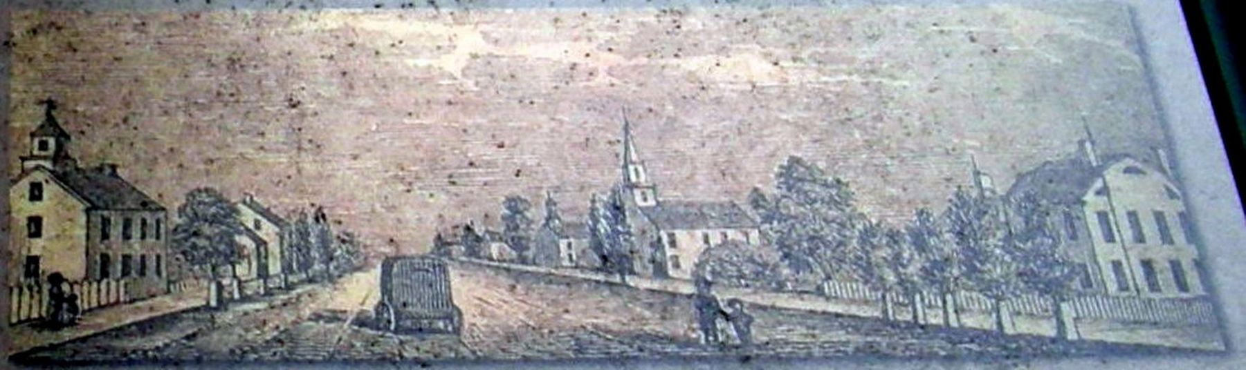
Named for the two churches (“kirks”) established in the late 1600s, Kirk Green was the center of Woodbridge life in the early Colonial period, encompassing the modern-day intersection of Rahway Avenue and Port Reading Avenue. Settlers met on the Green to visit markets, attend religious services and partake in social gatherings. Some of the earliest Woodbridge homes were built bordering the Green.
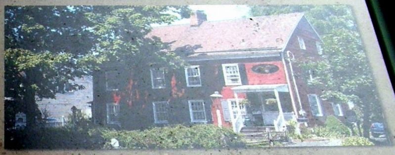
The Aaron Dunn/Jost-Keating House at 12 Freeman Street was constructed C. 1695 as a home for First Presbyterian Church minister, Rev. Archibald Riddell. Other early occupants included James Bloodgood, a tanner who owned 13 acres of property between Lewis Street and Ridgedale Avenue, and Aaron Dunn, a Revolutionary War soldier.
The Aaron Dunn/Jost-Keating house is one of the best examples of early Colonial architecture still extant in Woodbridge and contains many original features, including four fireplaces and two sets of stairways to the second floor and the attic. Many doors are believed to be original, fashioned in “Christian style” with a cross shape between the door panels with “H”
this page online
Other sites still standing within the vicinity of Kirk Green include the Trinity Church Rectory, also known as the Johnathan Dunham House, C. 1700, as well as the Bloomfield House, C. 1750. The Dunham-Prall house on Port Reading Avenue was once the home of Revolutionary war (sic) veteran and school teacher John Creamer.
More information visit www.wthpc.org
Woodbridge Township Historic Preservation Commission
Mayor John E. McCormac Woodbridge Township 2013
Erected 2013 by Woodbridge Township Historic Preservation Commission.
Topics. This historical marker is listed in these topic lists: Architecture • Colonial Era • Settlements & Settlers. A significant historical year for this entry is 1695.
Location. 40° 33.343′ N, 74° 17.129′ W. Marker is in Woodbridge Township, New Jersey, in Middlesex County. It is in Woodbridge. It is on North Park Drive near Elmwood Avenue, on the left when traveling west. Touch for map. Marker is at or near this postal address: 189 Edgar St, Woodbridge NJ 07095, United States of America. Touch for directions.

Regionally, this marker is in New Jersey’s Central
Photographed by Larry Gertner, October 20, 2018
2. Kirk Green Marker site
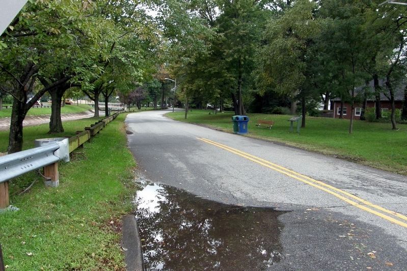
The marker overlooks Heards' Brook on this stretch of N Park Drive, between Amboy Avenue and Elmwood Avenue, in the Marion and Norman Tanzman Recreational Area.
Other nearby markers. At least 8 other markers are within walking distance of this marker: Historic Green Street (within shouting distance of this marker); Salamander Works (within shouting distance of this marker); Hampton Cutter Mansion (within shouting distance of this marker); The Clay-and-Brick Industry (within shouting distance of this marker); Woodbridge Golden Bears (about 300 feet away, measured in a direct line); Revolutionary War Battles in Woodbridge (about 400 feet away); Woodbridge (about 500 feet away); 181 Green Street (about 500 feet away). Touch for a list and map of all markers in Woodbridge Township.
3. Inset
The Aaron Dunn/Jost-Keating House at 12 Freeman Street
4. Inset
Kirk Green
Credits. This page was last revised on November 18, 2018. It was originally submitted on November 17, 2018, by Larry Gertner of New York, New York. This page has been viewed 510 times since then and 29 times this year. Photos: 1, 2, 3, 4. submitted on November 17, 2018, by Larry Gertner of New York, New York. • Andrew Ruppenstein was the editor who published this page.
