Marker Logo HMdb.org THE HISTORICAL
MARKER DATABASE
“Bite-Size Bits of Local, National, and Global History”
Mosheim in Greene County, Tennessee — The American South (East South Central)
 

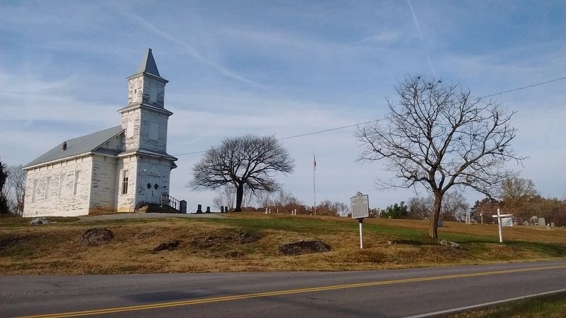
Blue Springs Church and Cemetery

Mosheim, Tennessee


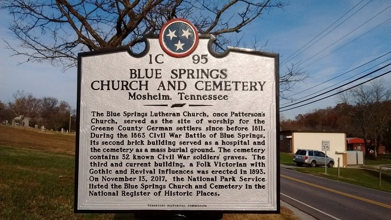
Blue Springs Church and Cemetery Marker image. Click for full size.
Photographed By Tom Bosse, November 18, 2018
1. Blue Springs Church and Cemetery Marker
Inscription. The Blue Springs Lutheran Church, once Patterson's Church, served as the site of worship for the Greene County German settlers since before 1811. During the 1863 Civil War Battle of Blue Springs, its second brick building served as a hospital and the cemetery as a mass burial ground. The cemetery contains 32 known Civil War soldiers' graves. The third and current building, a Folk Victorian with Gothic and Revival influences was erected in 1893. On November 13, 2017, the National Park Service listed the Blue Springs Church and Cemetery in the National Register of Historic Places.
 
Erected 2018 by Tennessee Historical Commission. (Marker Number 1C 95.)
 
Topics and series. This historical marker is listed in these topic lists: Cemeteries & Burial SitesChurches & ReligionWar, US Civil. In addition, it is included in the Tennessee Historical Commission series list. A significant historical date for this entry is November 13, 2017.
 
Location. 36° 11.39′ N, 82° 57.487′ W. Marker is in Mosheim, Tennessee, in Greene County. Marker is on Main Street, on the left when traveling north. Touch for map. Marker is in this post office area: Mosheim TN 37818, United States of America. Touch for directions.
 
Other nearby markers. At least 8 other markers are within 7 miles of this marker, measured as the crow flies. Blue Springs Lutheran Congregation (within shouting distance of this marker); Battles of Blue Springs
Paid Advertisement
Click on the ad for more information.
Please report objectionable advertising to the Editor.
Click or scan to see
this page online
(approx. 1.3 miles away); Battle of Blue Springs (approx. 1.4 miles away); Pottertown Bridge Burners (approx. 3.2 miles away); Bridge Burners Monument (approx. 3.2 miles away); Execution of the "Bridge-Burners" (approx. 3.4 miles away); Carter's Station (approx. 4˝ miles away); George Clem School (approx. 6.8 miles away). Touch for a list and map of all markers in Mosheim.
 
Also see . . .
1. Marking History. (Submitted on November 18, 2018, by Tom Bosse of Jefferson City, Tennessee.)
2. Blue Springs Tennessee. (Submitted on November 18, 2018, by Tom Bosse of Jefferson City, Tennessee.)
 
Blue Springs Church and Cemetery Marker image. Click for full size.
Photographed By Tom Bosse, November 18, 2018
2. Blue Springs Church and Cemetery Marker
Blue Springs Church and Cemetery image. Click for full size.
Photographed By Tom Bosse, November 18, 2018
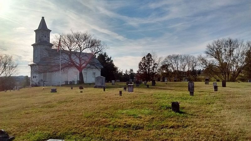
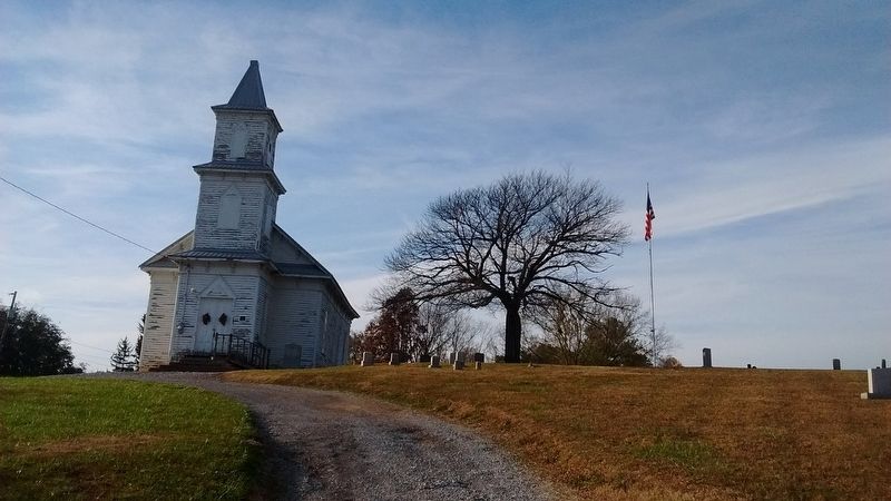
3. Blue Springs Church and Cemetery
Blue Springs Church and Cemetery image. Click for full size.
Photographed By Tom Bosse, November 18, 2018
4. Blue Springs Church and Cemetery
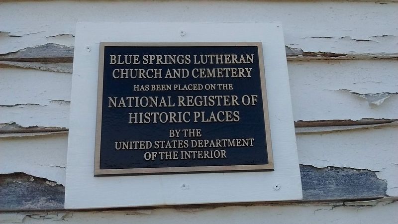
Blue Springs Lutheran Church and Cemetery - National Register of Historic Places image. Click for full size.
Photographed By Tom Bosse, November 18, 2018
5. Blue Springs Lutheran Church and Cemetery - National Register of Historic Places
 
 
Credits. This page was last revised on November 26, 2018. It was originally submitted on November 18, 2018, by Tom Bosse of Jefferson City, Tennessee. This page has been viewed 684 times since then and 66 times this year. Photos:   1, 2, 3, 4, 5. submitted on November 18, 2018, by Tom Bosse of Jefferson City, Tennessee. • Andrew Ruppenstein was the editor who published this page.
Share this page.  
Share on Tumblr
m=126482

CeraNet Cloud Computing sponsors the Historical Marker Database.
This website earns income from purchases you make after using our links to Amazon.com. We appreciate your support.
Paid Advertisement
Apr. 26, 2024