Madison in Dorchester County, Maryland — The American Northeast (Mid-Atlantic)
Madison
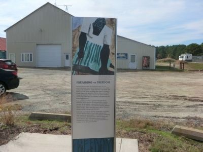
Preparing for Freedom
| — | Harriet Tubman Underground Railroad Byway | — |
Photographed by Don Morfe, October 28, 2014
1. Madison Marker
Harriet Tubman spent her formative years in and around Madison, once called Tobaccostick. As a young woman, she worked for Joseph Stewart in his home and fields, until she joined her father Ben Ross in Stewart’s lumber harvesting operation. Tubman was a strong and independent worker with a network of useful contacts among the lumbermen, dockworkers, and watermen who frequented Madison.
Free and enslaved black mariners were part of an extensive, secret network of communication, helping connect far-flung black communities and separated families to one another and sometimes helping freedom seekers escape. These associates were vital to Tubman’s success on the Underground Railroad.
With help from Tubman and her connections, Winnebar Johnson fled from here in June 1854, settling with other Eastern Shore escapees in the whaling community of New Bedford, Massachusetts. Later the same year, Jacob Jackson, who lived nearby, carried a coded message from Tubman to her brothers telling them to prepare to run away at Christmas.
Erected by America's Byways; Maryland Heritage Area Authority. (Marker Number 10.)
Topics and series.
this page online
Location. 38° 30.516′ N, 76° 13.434′ W. Marker is in Madison, Maryland, in Dorchester County. It is on Madison Canning House Road. Touch for map. Marker is at or near this postal address: 4814 Madison Canning House Road, Madison MD 21648, United States of America. Touch for directions.

Regionally, this marker is on the Eastern Shore. It is also in the American Mid-Atlantic, on the Delmarva Peninsula, in the Tidewater, in the Chesapeake Bay Region, and on the Eastern Seaboard. Globally, it is in the North Atlantic Region, North America, the Western Hemisphere, the Western World, and the Anglosphere. Historically, it finds itself in what was once one of the original Thirteen Colonies and also the Antebellum South.
Other nearby markers. At least 8 other markers are within 4 miles of this marker, measured as the crow flies: Gethsemane Methodist Protestant Church (approx. 0.2 miles
![Madison Marker [Reverse] image. Click for full size.](Photos6/675/Photo675638.jpg?8302022100900PM "Madison Marker [Reverse]. Click for full size.")
Another marker is no longer nearby. Anna Ella Carroll (was approx. 3.1 miles away but has been replaced with another marker now near it).
Photographed by Don Morfe, October 28, 2014
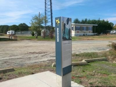
3. Madison Marker
Photographed by Allen C. Browne, November 19, 2018
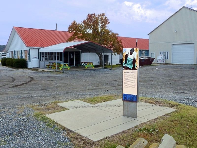
4. Preparing for Freedom marker
at Madison Bay Restaurant
at Madison Bay Restaurant
Photographed by Allen C. Browne, November 19, 2018
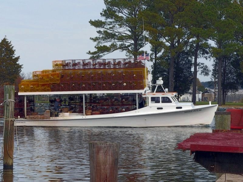
5. Miss Julie landing at Madison with a load of crab pots
Credits. This page was last revised on August 30, 2022. It was originally submitted on November 10, 2014, by Don Morfe of Baltimore, Maryland. This page has been viewed 1,030 times since then and 79 times this year. Last updated on November 21, 2018, by Allen C. Browne of Silver Spring, Maryland. Photos: 1. submitted on November 10, 2014, by Don Morfe of Baltimore, Maryland. 2. submitted on August 30, 2022, by Devry Becker Jones of Washington, District of Columbia. 3. submitted on November 10, 2014, by Don Morfe of Baltimore, Maryland. 4, 5. submitted on November 21, 2018, by Allen C. Browne of Silver Spring, Maryland. • Andrew Ruppenstein was the editor who published this page.
