Pensacola in Escambia County, Florida — The American South (South Atlantic)
De Soto Trail / A Port with Promise
(Left panel)
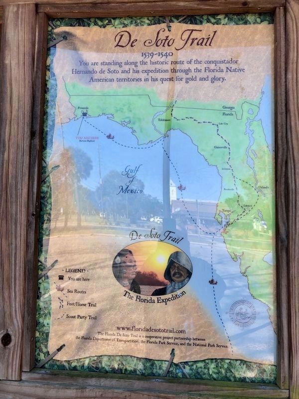
1539-1540
You are standing along the historic route of the conquistador Hernando de Soto and his expedition through the Florida Native American territories in his quest for gold and glory.
(Map legend)
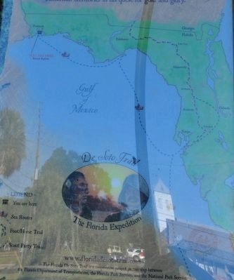
De Soto Trail
The Florida Expedition
- Legend -
• You are here
• Sea Routes
• Foot/Horse Trail
• Scout Party Trail
The Florida De Soto Trail is a cooperative project between
the Florida Department of Transportation, the Florida Park Service, and the National Park Service.
(Right panel)
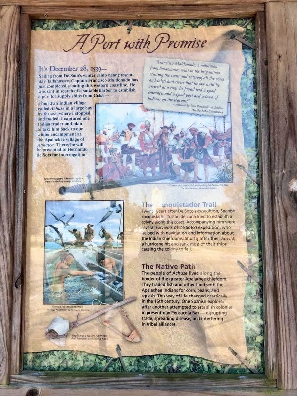
It's December 28, 1539...
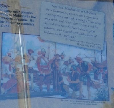
Sailing from De Soto's winter camp near present-day Tallahassee, Captain Francisco Maldonado has just completed scouting this western coastline. He was sent in search of a suitable harbor to establish a port for supply ships from Cuba-
I found an Indian village called Achuse in a large bay by the sea, where I stopped and traded. I captured one Indian trader and plan to take him back to our winter encampment at the Apalachee village of Anhayca. There, he will be presented to Hernando de Soto for interrogation.
The Conquistador Trail
Twenty years after De Soto's expedition, Spanish conquistador Tristan de Luna tried to establish a colony along the coast. Accompanying him were several survivors of De Soto's expedition, who helped with navigation and information about the Indian chiefdoms. Shortly after their arrival, a hurricane hit and sank most of their ships, causing the colony to fail.
The Native Path
The people of Achuse lived along the border of the greater Apalachee chiefdom. They traded fish and other food with the Apalachee Indians for corn, beans, and squash. This way of life changed drastically in the 16th century. One Spanish explorer after another attempted to establish colonies in present day Pensacola Bay — disrupting trade, spreading disease, and interfering in tribal alliances.
"Francisco Maldonado, a nobleman from Salamanca, went in the brigantines cruising the coast and entering all the coves and inlets and rivers that he saw until he arrived at a river he found had a good entrance, and a good port and a town of Indians on the seacoast."
- Account by Luis Hernandez de Biedma
The De Soto Chronicles
Erected by Florida Department of Transportation, Florida Park Service and the National Park Service. (Marker Number 33.)
Topics. This historical marker is listed in these topic lists: Exploration • Native Americans • Settlements & Settlers. A significant historical date for this entry is December 28, 1539.
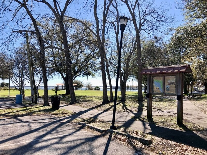
Location. 30° 24.483′ N, 87° 12.582′ W. Marker is in Pensacola, Florida, in Escambia County. Marker can be reached from the intersection of East Main Street (County Road 196) and South Alcaniz Street, on the right when traveling east. Marker is located in William Bartram Memorial Park. Touch for map. Marker is at or near this postal address: 211 Bayfront Pkwy, Pensacola FL 32502, United States of America. Touch for directions.
Other nearby markers. At least 8 other markers are within walking distance of this marker. William Bartram Trail (a few steps from this marker); Supremacy, Siege and the Sea (within shouting distance of this marker); Defending a Coastal Colony (within shouting distance of this marker); Mooring Anchor (within shouting distance of this marker); Piers, Ports and Wharves: A Look At Pensacola's Waterfront (about 300 feet away, measured in a direct line); Pioneer Planing Mills (about 400 feet away); Old Christ Church (about 400 feet away); Firefighter Vista S. Lowe (about 400 feet away). Touch for a list and map of all markers in Pensacola.
Related markers. Click here for a list of markers that are related to this marker. Florida De Soto Trail
Also see . . . De Soto Trail. (Submitted on December 1, 2015.)
Credits. This page was last revised on May 25, 2023. It was originally submitted on November 30, 2015, by Sandra Hughes Tidwell of Killen, Alabama, USA. This page has been viewed 616 times since then and 26 times this year. Last updated on November 21, 2018, by Cosmos Mariner of Cape Canaveral, Florida. Photos: 1, 2. submitted on March 6, 2019, by Mark Hilton of Montgomery, Alabama. 3, 4, 5. submitted on November 30, 2015, by Sandra Hughes Tidwell of Killen, Alabama, USA. 6. submitted on March 6, 2019, by Mark Hilton of Montgomery, Alabama. • Bernard Fisher was the editor who published this page.
