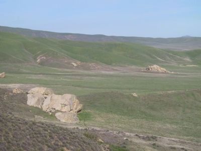
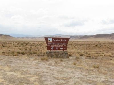
Carrizo Plain National Monument in San Luis Obispo County, California — The American West (Pacific Coastal)
Painted Rock
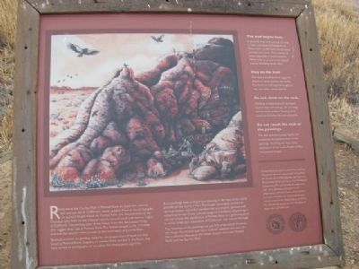
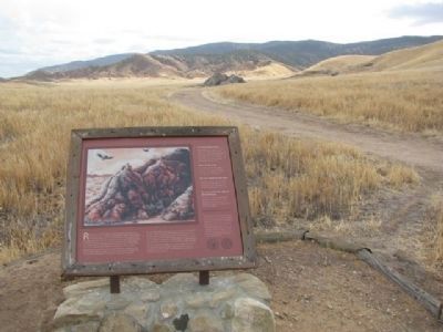
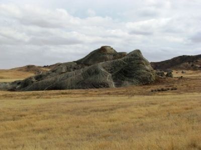
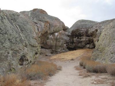
Bedrock mortars, or grinding holes for the preparation of food, are also found at Painted Rock. Cupules, or smaller holes pecked in the Rock, may have served as petroglyphs, or as a place for mixing paint pigments.
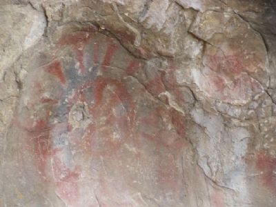
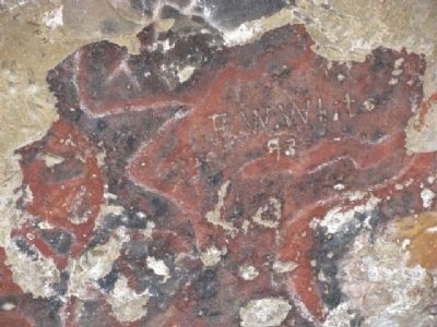
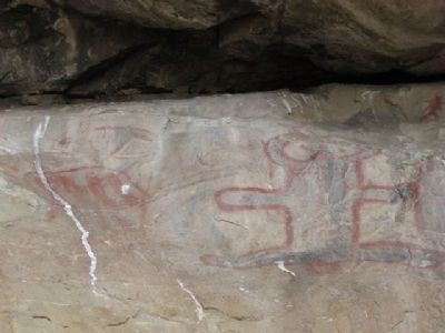
Rock painting held an important meaning in the lives of the native peoples on the Carrizo Plain. The images were likely created by spiritual leaders and tribal members for ceremonial, spiritual, and cultural purposes. These cultural images are evidence of prolonged use and display the significance of Painted Rock as gathering place. It stands today as a monument of California’s rich cultural heritage.
The meanings of the paintings are not fully understood. However, the images found here and other cultural materials are clues to the traditional lifeways of the native peoples that used Painted Rock and the Carrizo Plain.
Erected by Bureau of Land Management, The California Department of Fish and Game, and The Nature Conservancy.
Topics. This historical marker is listed in these topic lists: Anthropology & Archaeology • Native Americans • Settlements & Settlers.
Location. 35° 9.25′ N, 119° 51.94′ W. Marker is in Carrizo Plain National Monument, California, in San Luis Obispo County. Marker can be reached from Soda Lake Road. Only accessible with pre-arranged tours. Touch for map. Marker is at or near this postal address: 17495 Soda Lake Rd, Santa Margarita CA 93453, United States of America. Touch for directions.
Other nearby markers. At least 7 other markers are within 9 miles of this marker, measured as the crow flies. Farming Carrizo (approx. 2.4 miles away); a different marker also named Painted Rock (approx. 2½ miles away); Soda Lake (approx. 2½ miles away); a different marker also named Soda Lake (approx. 6.3 miles away); a different marker also named Soda Lake (approx. 6.4 miles away); Goodwin Ranch (approx. 6.4 miles away); Wallace Creek (approx. 8.4 miles away).
More about this marker. To access this area, you must reserve a tour in advance. Tours meet at the Goodwin Education Center off of Soda Lake Road.
Also see . . . Carrizo Plain National Monument. Visitor information, maps, etc. (Submitted on July 10, 2018, by Craig Baker of Sylmar, California.)
Credits. This page was last revised on April 24, 2022. It was originally submitted on February 3, 2012, by Denise Boose of Tehachapi, California. This page has been viewed 1,095 times since then and 93 times this year. Last updated on November 21, 2018, by Devry Becker Jones of Washington, District of Columbia. Photos: 1, 2, 3, 4, 5, 6, 7. submitted on February 3, 2012, by Denise Boose of Tehachapi, California. 8, 9. submitted on February 4, 2012, by Michael Kindig of Elk Grove, California. 10. submitted on February 3, 2012, by Denise Boose of Tehachapi, California. • Andrew Ruppenstein was the editor who published this page.
