
Herndon in Fairfax County, Virginia — The American South (Mid-Atlantic)
Herndon's Pine Street
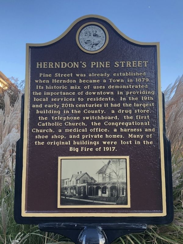
Erected by Town of Herndon, Virginia.
Topics and series. This historical marker is listed in these topic lists: Industry & Commerce • Religion & Religious Structures • Science & Medicine. In addition, it is included in the Virginia, Town of Herndon series list. A significant historical year for this entry is 1879.
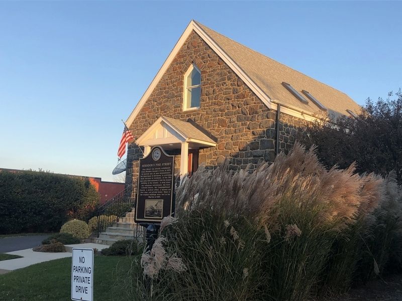
Location. 38° 58.258′ N, 77° 23.061′ W. Marker is in Herndon, Virginia, in Fairfax County. It is on Pine Street west of Monroe Street (Virginia Route 228), on the right when traveling west. Touch for map. Marker is at or near this postal address: 714 Pine Street, Herndon VA 20170, United States of America. Touch for directions.

Regionally,
this page online
Other nearby markers. At least 8 other markers are within walking distance of this marker: 100th Infantry Battalion, 442nd Regimental Combat Team, Military Intelligence Service (a few steps from this marker); The Big Fire (within shouting distance of this marker); Herndon Town Square (about 400 feet away, measured in a direct line); Acetylene Gas Generating Station (about 400 feet away); Herndon Blacksmith Shops (about 400 feet away); Herndon Dairy Farming (about 400 feet away); Southern Railway Whistle Post (about 500 feet away); Herndon Station (about 500 feet away). Touch for a list and map of all markers
Credits. This page was last revised on March 19, 2019. It was originally submitted on November 22, 2018, by Devry Becker Jones of Washington, District of Columbia. This page has been viewed 624 times since then and 27 times this year. Photos: 1, 2. submitted on November 22, 2018, by Devry Becker Jones of Washington, District of Columbia. • Bernard Fisher was the editor who published this page.
