Natchez in Adams County, Mississippi — The American South (East South Central)
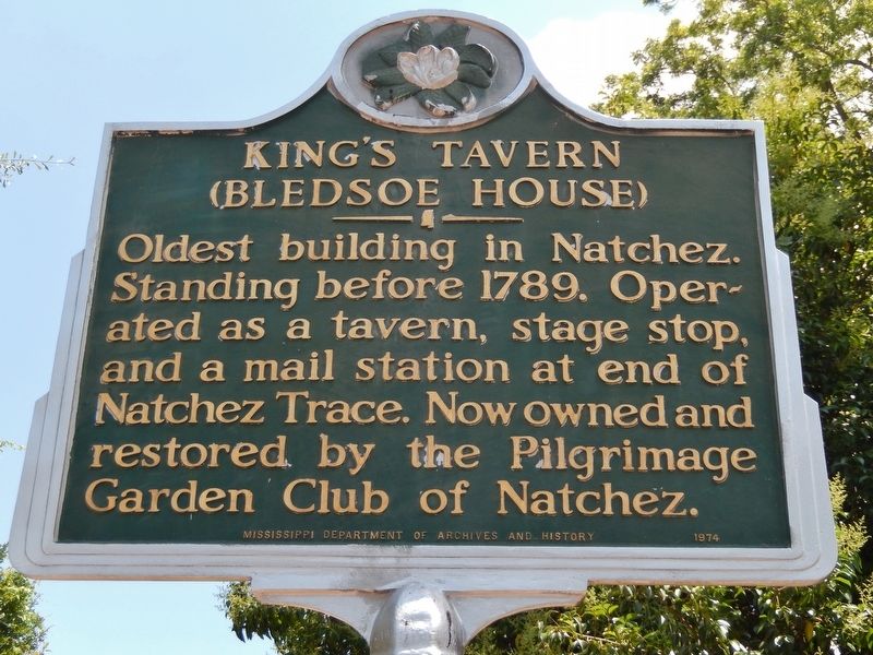
King's Tavern
(Bledsoe House)
Photographed by Cosmos Mariner, May 22, 2014
1. King's Tavern Marker
Erected 1974 by Mississippi Department of Archives and History.
Topics and series. This historical marker is listed in these topic lists: Communications • Industry & Commerce • Roads & Vehicles. In addition, it is included in the Mississippi State Historical Marker Program, and the Postal Mail and Philately series lists. A significant historical year for this entry is 1789.
Location. 31° 33.618′ N, 91° 23.961′ W. Marker is in Natchez, Mississippi, in Adams County. It is on Jefferson Street west of North Rankin Street, on the right when traveling west. Marker is located beside the sidewalk, just inside the fence, directly in front of the subject building, near the main entrance. Touch for map. Marker is at or near this postal address: 613 Jefferson Street, Natchez MS 39120, United States of America. Touch for directions.

Regionally, this marker is in Southwest Mississippi and in Natchez Trace Corridor. It is also in the American South, specifically in the Deep South, and in the Great River Road Region. Globally, it is in North America, a Gulf of Mexico state, the Western Hemisphere, the Western World, and the Anglosphere.
this page online
Other nearby markers. At least 8 other markers are within walking distance of this marker: Intersection of Jefferson and North Rankin streets (within shouting distance of this marker); Jefferson Street Methodist Church (within shouting distance of this marker); Intersection of Jefferson and North Union streets (within shouting distance of this marker); Intersection of High and North Rankin streets (about 300 feet away, measured in a direct line); Intersection of North Union and Franklin streets (about 400 feet away); Zion Chapel A.M.E. Church (about 500 feet away); 300 Block of Martin Luther King Street (about 500 feet away); Zion Chapel African Methodist Episcopal Church (about 500 feet away). Touch for a list and map of all markers in Natchez.
Also see . . .
1. King’s Tavern – Natchez, Mississippi. Natchez is the first European settlement on the Mississippi River, and the King’s Tavern is reported to be the town’s first structure, a National Historic Landmark whose history dates back to the late 1700’s. Richard King built his namesake tavern from the boards of boats brought ashore by longboat shipmen. The tavern served travelers,
Photographed by Cosmos Mariner, May 22, 2014
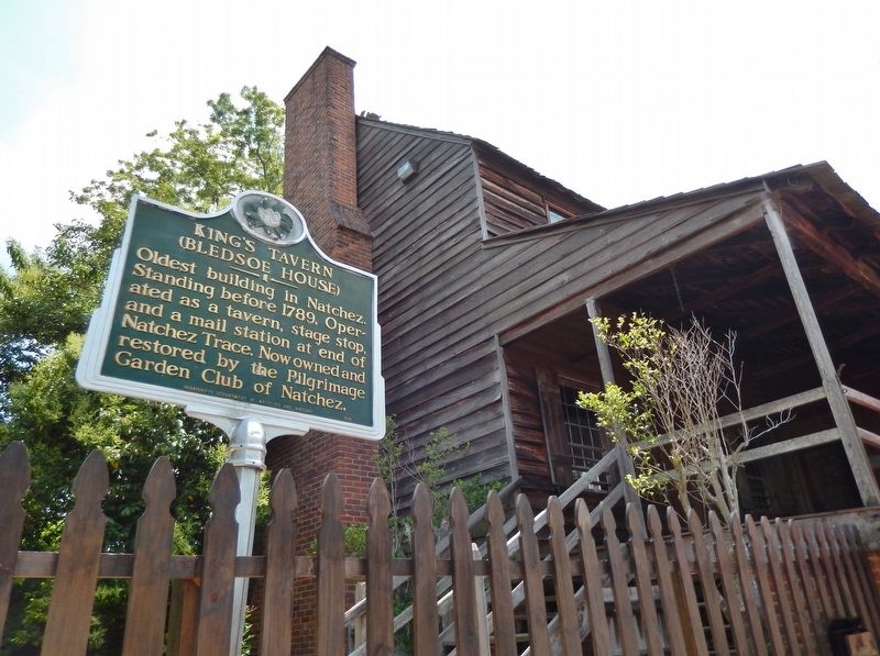
2. King's Tavern Marker (tall view)
2. King's Tavern. When the British moved in and established the nearby Fort Panmure, the King's Tavern building was originally built to be a block house for the fort. As there was no saw mill near this frontier town, this building and other structures were constructed using beams taken from scrapped New Orleans sailing ships, which were brought to Natchez via mule. Another source of wood used in the King's Tavern building construction were barge boards from flat river boats, which were dismantled and sold after arriving in Natchez with their goods after traveling down the Ohio and Mississippi Rivers. Boatmen couldn't take their flat boats back up these rivers, so they just added to their profit by selling the boats as wood, which was needed to build Natchez. (Submitted on December 5, 2018, by Cosmos Mariner of Cape Canaveral, Florida.)
Photographed by Cosmos Mariner, May 22, 2014
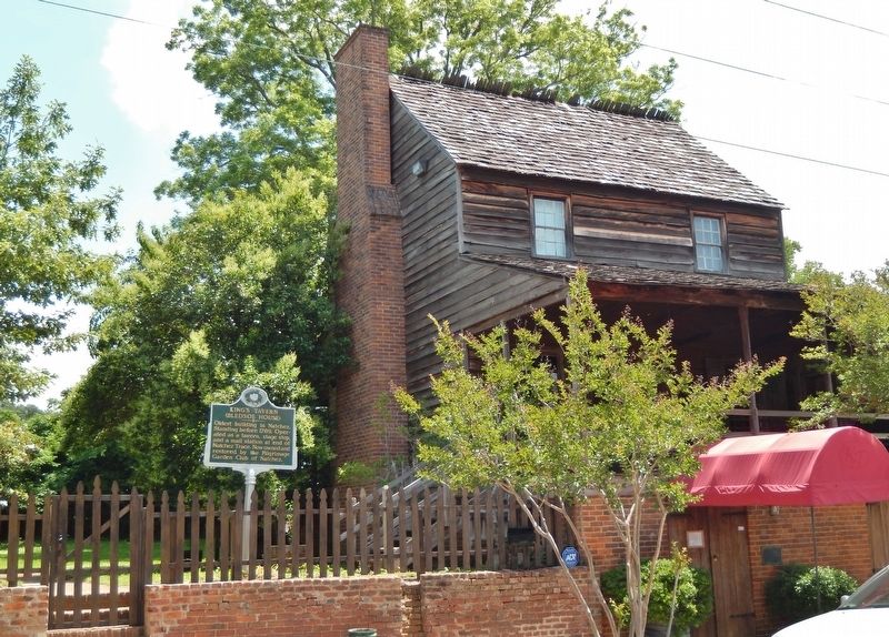
3. King's Tavern Marker (wide view)
Photographed by Cosmos Mariner, May 22, 2014
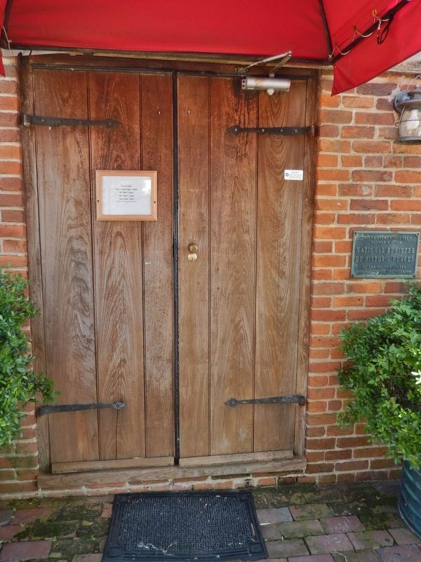
4. King's Tavern Entrance
Photographed by Cosmos Mariner, May 22, 2014
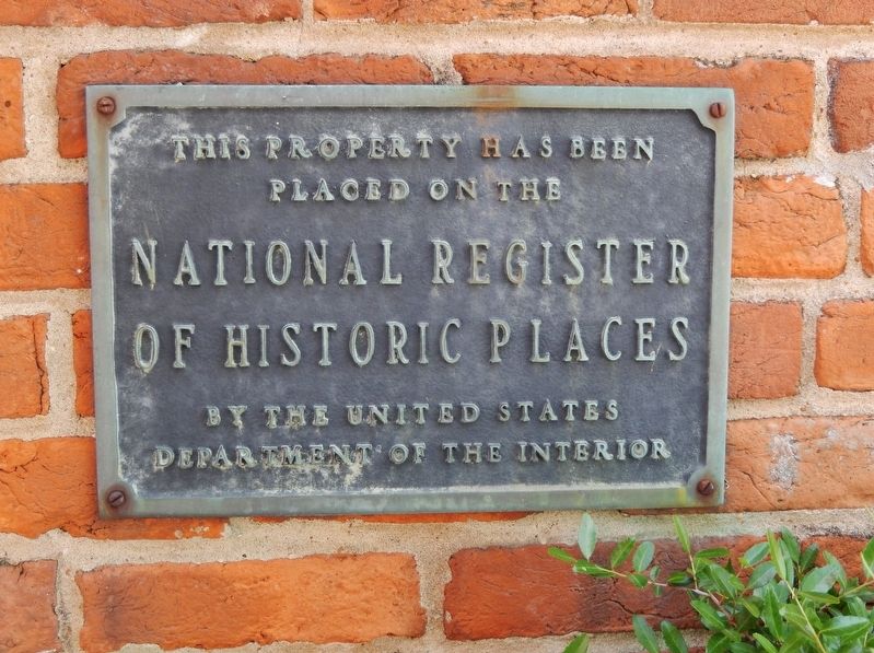
5. King's Tavern National Register of Historic Places Plaque (mounted to right of main entrance)
placed on the
National Register
of Historic Places
by the United States
Department of the Interior
Photographed by Cosmos Mariner, May 22, 2014
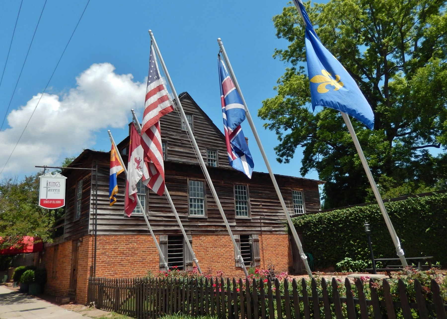
6. King's Tavern (southeast corner; view from Jefferson Street sidewalk)
Credits. This page was last revised on February 2, 2020. It was originally submitted on December 4, 2018, by Cosmos Mariner of Cape Canaveral, Florida. This page has been viewed 1,106 times since then and 76 times this year. Photos: 1, 2, 3, 4, 5, 6. submitted on December 4, 2018, by Cosmos Mariner of Cape Canaveral, Florida. • Andrew Ruppenstein was the editor who published this page.
