
Theodore Roosevelt Island in Northwest Washington in Washington, District of Columbia — The American Northeast (Mid-Atlantic)
Making the Memorial
Theodore Roosevelt Island, George Washington Memorial Parkway
| — | National Park Service, U.S. Department of the Interior | — |
Photographed by Allen C. Browne, December 5, 2018
1. Making the Memorial
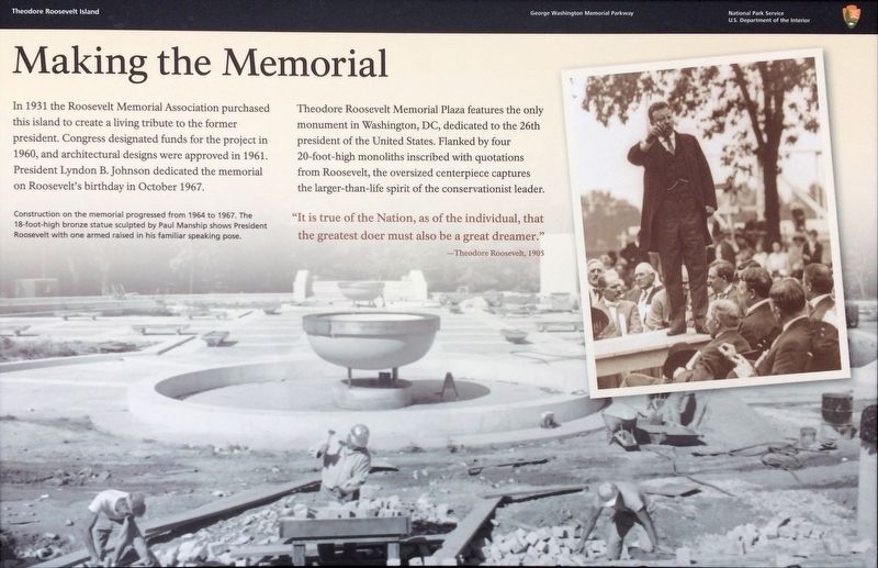
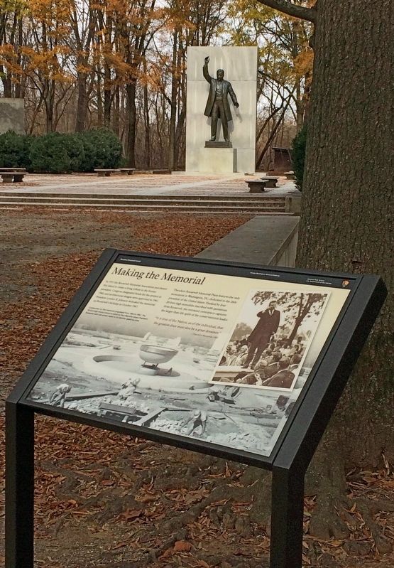
In 1931 the Roosevelt Memorial Association purchased this island to create a living tribute to the former president. Congress designated funds for the project in 1960, and architectural designs were approved in 1961. President Lyndon B. Johnson dedicated the memorial on Roosevelt's birthday in October 1967.
Theodore Roosevelt Memorial Plaza features the only monument in Washington, DC, dedicated to the 26th president of the United States. Flanked by four 20-foot-high monoliths inscribed with quotations from Roosevelt, the oversized centerpiece captures the larger-than-life spirit of the conservationist leader.
"It is true of the Nation, as of the individual, that the greatest doer must also be a great dreamer."
—Theodore Roosevelt, 1905
Erected 2018 by National Park Service, U.S. Department of the Interior.
Topics and series. This historical marker and memorial is listed in these topic lists: Arts, Letters, Music • Government & Politics • Parks & Recreational Areas. In addition, it is included in the Former U.S. Presidents: #26 Theodore Roosevelt series list. A significant historical year for this entry is 1931.
Location. 38° 53.825′ N,
this page online

Regionally, this marker and memorial is in the Washington Metropolitan Area. It is also in the American Northeast, in the Upper South, in the Mid-Atlantic, in the Tidewater, and in the Chesapeake Bay Region. Globally, it is in North America, the Western Hemisphere, the Western World, and the Anglosphere.
Other nearby markers. At least 8 other markers are within walking distance of this marker: Theodore Roosevelt (a few steps from this marker); Rough and Ready (approx. 0.2 miles away); American Indian Villages and Captain John Smith (approx. 0.2 miles away in Virginia); Force of Nature (approx. 0.2 miles away in Virginia); Mount Vernon Trail (approx. 0.2 miles away in Virginia); Causeway (approx. 0.2 miles away); Mason Mansion (approx. 0.2 miles away); Naturalist (approx.
Photographed by Allen C. Browne, December 5, 2018
2. Making the Memorial
More about this marker.
[Caption:]
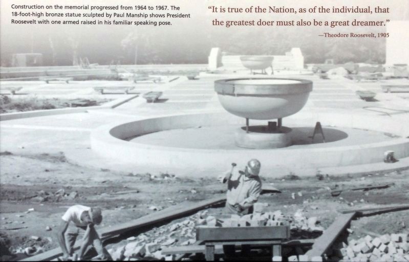
Construction on the memorial progressed from 1964 to 1967. The 18-foot-high bronze statue sculpted by Paul Manship shows President Roosevelt with one armed raised in his familiar speaking pose.
3. Construction of the Memorial
Construction on the memorial progressed from 1964 to 1967. The 18-foot-high bronze statue sculpted by Paul Manship shows President Roosevelt with one arm raised in his familiar speaking pose.Close-up of photo on marker
Photographed by Smith Studio, September 12, 1910
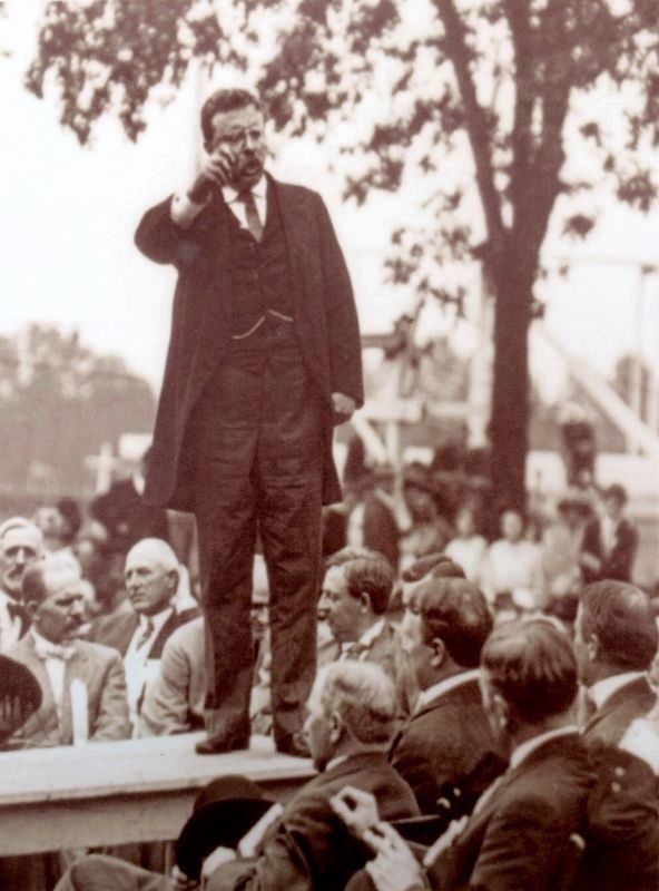
4. Close-up of photo on marker: Theodore Roosevelt
The photo on the marker has been extensively cropped - the original version (available at the Library of Congress) shows Roosevelt standing on a table surrounded by a large (all male, seated) crowd.
Credits. This page was last revised on January 30, 2023. It was originally submitted on December 6, 2018, by Allen C. Browne of Silver Spring, Maryland. This page has been viewed 547 times since then and 22 times this year. Photos: 1, 2, 3, 4. submitted on December 6, 2018, by Allen C. Browne of Silver Spring, Maryland. • Andrew Ruppenstein was the editor who published this page.
