
Pooler in Chatham County, Georgia — The American South (South Atlantic)
Pooler Station
Elevated Tent Camps
| — | March to the Sea Heritage Trail | — |
Photographed by Mark Hilton, December 6, 2018
1. Pooler Station Marker
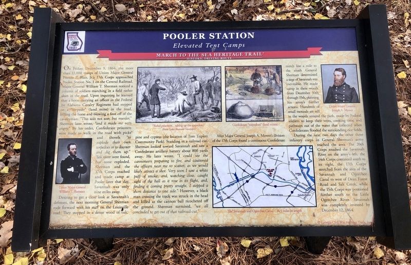
Desiring to get a close look at Savannah's defenses, the next morning General Sherman rode forward with his staff on the Louisville road. They stopped in a dense wood of oak, pine and cypress (the location of Tom Triplett Community Park). Standing in a
this page online
After Major General Joseph A. Mower's division of the 17th Corps found a continuous Confederate trench line a mile to the south General Sherman determined a siege of Savannah was inevitable. He made camp in these woods from December 10th through 15th, planning his army's further actions. Hundreds of small mounds are still in the woods around the park, made by Federal soldiers to keep their tents, cooking sites, and pathways out of the water that collected when Confederates flooded the surrounding rice fields.
Photographed by Mark Hilton, December 6, 2018
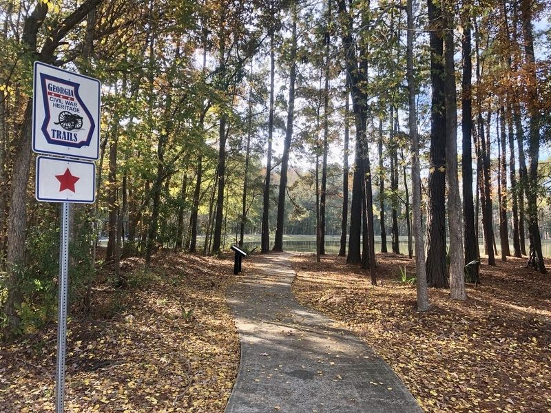
2. Pooler Station Marker looking south.
During the next two days the other three infantry corps in General Sherman's army reached the area. The 20th Corps touched the Savannah River on the army's left, the 14th Corps continued south to its right, the 17th Corps stretched from the area of the Savannah and Ogeechee Canal to west of Dean Forest Road and Salt Creek, while the 15th Corps was positioned further south to the Little Ogeechee River. Savannah was completely invested by December 12, 1864.
[Photo captions]
Background: Savannah Ga. and Vicinity, in December 1864
Bottom left: Union Major General William T. Sherman
Middle top left: "Rebel prisoners...taking up the torpedoes"
Middle top right: Confederate "torpedoes" (land mines)
Middle bottom: The Savannah and Ogeechee Canal - 16.5 miles in length
Top right: Union Major General Joseph A. Mower
Erected 2018 by Georgia Civil War Heritage Trails, Inc. (Marker Number R22.)
Topics and series. This historical marker is listed in these topic lists: Railroads & Streetcars • War, US Civil. In addition, it is included in the Sherman’s March to the Sea series list. A significant historical date for this entry is December 9, 1864.
Location. 32° 5.597′ N,
Photographed by Mark Hilton, December 6, 2018
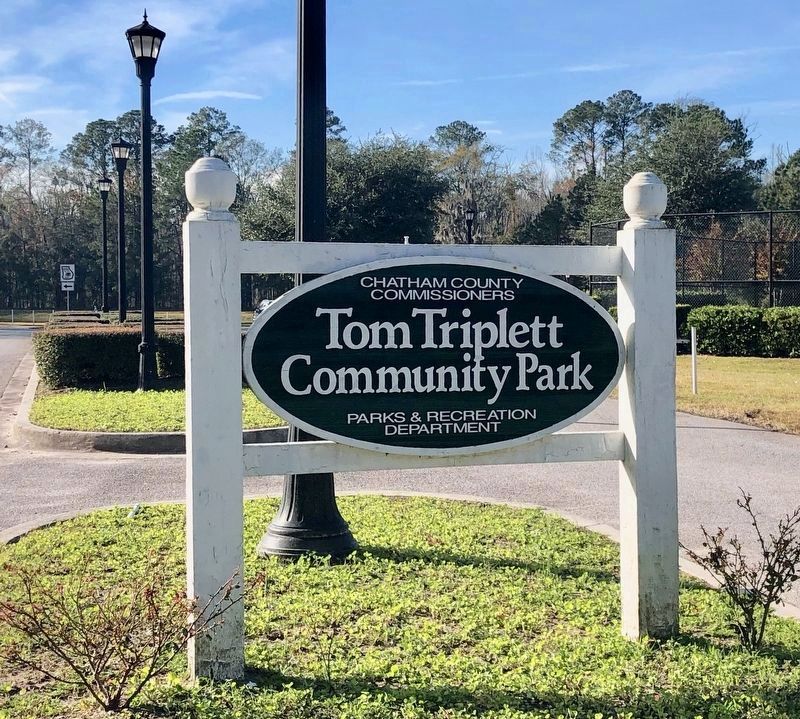
3. Marker is located in the Tom Triplett Community Park.
Marker is in the woods to the left of this sign.

Regionally, this marker is in Georgia’s Coastal Plain, on the Georgia Coast and the Golden Isles, and in Greater Savannah. It is also in the American South, specifically in the Deep South, and on the Eastern Seaboard. Globally, it is in the North Atlantic Region, North America, the Western Hemisphere, the Western World, and the Anglosphere. Historically, it finds itself in what was once New Spain, the territory of the Mississippian Culture, one of the original Thirteen Colonies, one of the Confederate States of America, and the Antebellum South.
Other nearby markers. At least 8 other markers are within 2 miles of this marker, measured as the crow flies: McDonnell F-4C Phantom (approx. 2.1 miles away); Worth W. Boister Jr. and Thomas D. Barnett (approx. 2.1 miles away); Mikoyan-Gurevich MiG- 17A (approx. 2.1 miles away); Reinhardt M. King & Crew (approx. 2.1 miles away); 452nd Bomb Group (approx. 2.1 miles away); 384th Bombardment Group (approx. 2.1 miles away); Butler's Bums (approx. 2.1 miles away); Lt. Colonel James A. Verinis (approx. 2.1 miles away). Touch for a list and map of all markers in Pooler.
Credits. This page was last revised on March 22, 2020. It was originally submitted on December 8, 2018, by Mark Hilton of Montgomery, Alabama. This page has been viewed 1,759 times since then and 117 times this year. Photos: 1, 2, 3. submitted on December 8, 2018, by Mark Hilton of Montgomery, Alabama.
