Downtown Los Angeles in Los Angeles County, California — The American West (Pacific Coastal)
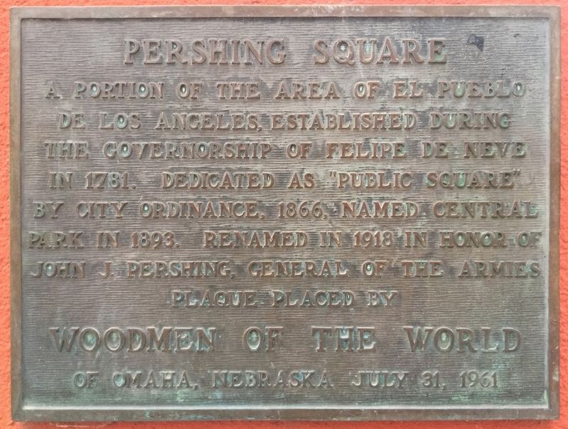
Pershing Square
Erected 1961 by Woodmen of the World.
Topics. This historical marker is listed in this topic list: Parks & Recreational Areas.
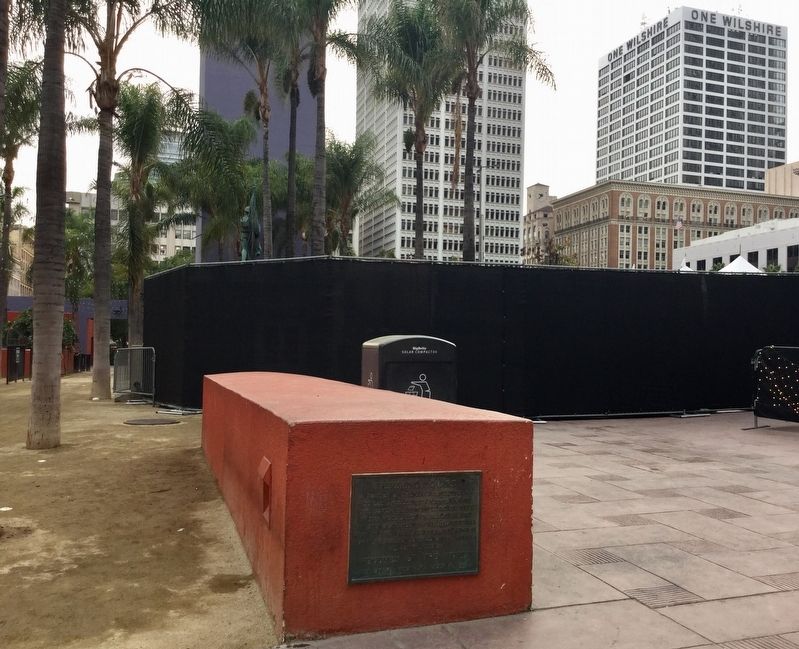
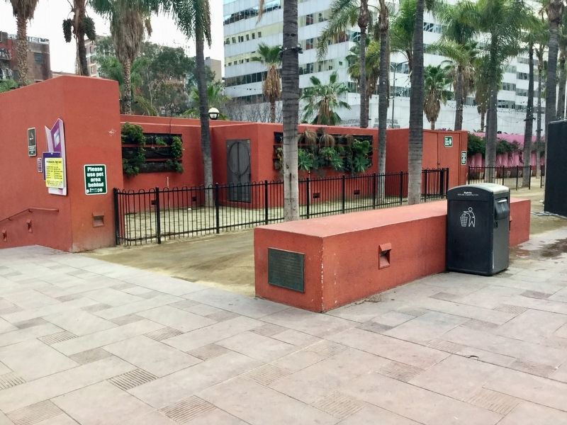
Location. 34° 2.922′ N, 118° 15.14′ W. Marker is in Los Angeles, California, in Los Angeles County. It is in Downtown Los Angeles. Marker is at the intersection of Hill Street and 5th Street, on the right when traveling south on Hill Street. Touch for map. Marker is in this post office area: Los Angeles CA 90013, United States of America. Touch for directions.
Other nearby markers. At least 8 other markers are within walking distance of this marker. World War I Memorial (a few steps from this marker); General John J. Pershing (within shouting distance of this marker); Old Ironsides (within shouting distance of this marker); Spanish–American War Memorial (within shouting distance of this marker); Biltmore Hotel (about 300 feet away, measured in a direct line); a different marker also named Biltmore Hotel (about 300 feet away); Judson Rives Building (about 800 feet away); Pacific Mutual Building (about 800 feet away). Touch for a list and map of all markers in Los Angeles.

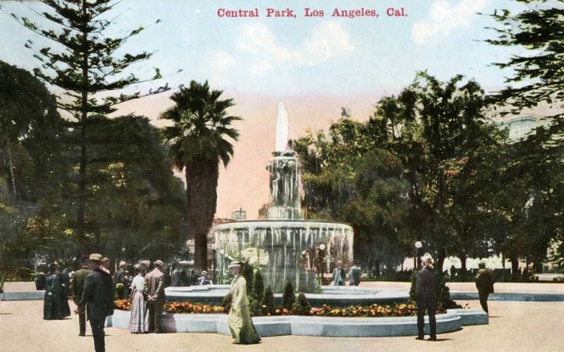
Image courtesy of the Los Angeles Public Library, circa 1915
4. Central Park, Los Angeles, Cal.
"Mayor Cristobal Aguilar signed Pershing Square into being in 1866. At the time, Pershing Square was called La Plaza Abaja ("The Lower Plaza"). However, it was renamed Pershing Square in 1918 in honor of General John J. Pershing. It is bounded by 5th, 6th, Hill and Olive streets..."
Credits. This page was last revised on July 21, 2023. It was originally submitted on December 11, 2018, by Craig Baker of Sylmar, California. This page has been viewed 356 times since then and 20 times this year. Photos: 1, 2, 3. submitted on December 11, 2018, by Craig Baker of Sylmar, California. 4. submitted on December 13, 2018. • Andrew Ruppenstein was the editor who published this page.


