Fort Lauderdale in Broward County, Florida — The American South (South Atlantic)
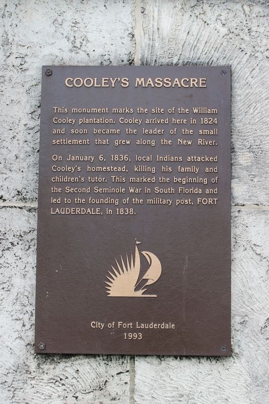
Cooley's Massacre
On January 6, 1836, local Indians attacked Cooley's homestead, killing his family and children's tutor. This marked the beginning of the Second Seminole War in South Florida and led to the founding of the military post, FORT LAUDERDALE, in 1838.
Erected 1993 by City of Fort Lauderdale.
Topics. This historical marker is listed in these topic lists: Settlements & Settlers • Wars, US Indian. A significant historical date for this entry is January 6, 1836.
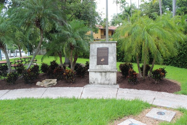
Location. 26° 6.993′ N, 80° 9.017′ W. Marker is in Fort Lauderdale, Florida, in Broward County. Marker can be reached from the intersection of Bryan Place and Cooley Avenue. Marker is in the parking area of Cooley's Landing Park. Touch for map. Marker is in this post office area: Fort Lauderdale FL 33312, United States of America. Touch for directions.
Other nearby markers. At least 8 other markers are within walking distance of this marker. The Lewis Family (approx. 0.3 miles away); The Tequesta (approx. 0.3 miles away); Early 19th Century British Admiralty Anchor (approx. 0.3 miles away); Replica 1899 School House (approx. 0.3 miles away); Old Fort Lauderdale Village (approx. 0.3 miles away); Shippey House (approx. 0.3 miles away); King-Cromartie House (approx. 0.3 miles away); Philemon Nathaniel Bryan House (approx. 0.4 miles away). Touch for a list and map of all markers in Fort Lauderdale.
Also see . . . The 1836 Massacre in Fort Lauderdale. (Submitted on December 16, 2018, by Tim Fillmon of Webster, Florida.)
Credits. This page was last revised on December 20, 2018. It was originally submitted on December 16, 2018, by Tim Fillmon of Webster, Florida. This page has been viewed 1,550 times since then and 332 times this year. Photos: 1, 2. submitted on December 16, 2018, by Tim Fillmon of Webster, Florida. • Bernard Fisher was the editor who published this page.

