National Harbor in Fort Washington in Prince George's County, Maryland — The American Northeast (Mid-Atlantic)
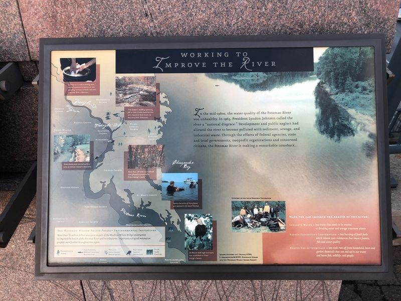
Working to Improve the River
[Captions:]
As many as 15 million herring were stocked upstream to imprint on new spawning territory in Rock Creek and Anacostia River tributaries.
"Fish ladders" enabling spawning fish to cross 23 man-made barriers were created on Rock Creek and Anacostia River Tributaries.
Stream banks were restored and four acres of wetland created in Alexandria.
More than 140 acres of woodlands were planted or preserved in Prince George's County
Twenty-two acres of river grasses were planted in the lower Potomac.
An 84-acre bald eagle sanctuary was established in Prince George's County.
The Woodrow Wilson Bridge Project Environmental Initiatives
More than 50 million dollars was spent as
this page online
Ways you can improve the health of the river:
Conserve Water = less water that needs to be treated at drinking water and sewage treatment plants
Reduce Electricity Consumption = less burning of fossil fuels which release toxic substances that impact forests, fish and water quality
Reduce Use of Chemicals = less toxic run-off from household, lawn and garden chemicals that can end up in our water and harm fish, wildlife, and people
Topics and series. This historical marker is listed in these topic lists: Animals • Environment • Government & Politics. In addition, it is included in the Former U.S. Presidents: #36 Lyndon B. Johnson series list. A significant historical year for this entry is 1965.
Location. 38° 47.566′ N, 77° 1.467′ W. Marker is in Fort Washington, Maryland, in Prince George's County. It is in the National Harbor. It can be reached from Capital Beltway (Interstate 95) west of National Harbor Boulevard, on the right when traveling

Regionally, this marker is in the Washington Metropolitan Area. It is also in the American South, specifically in the Upper South, in the Mid-Atlantic, and on the Eastern Seaboard. Globally, it is in the North Atlantic Region, North America, the Western Hemisphere, the Western World, and the Anglosphere. Historically, it finds itself in what was once one of the original Thirteen Colonies and also the Antebellum South.
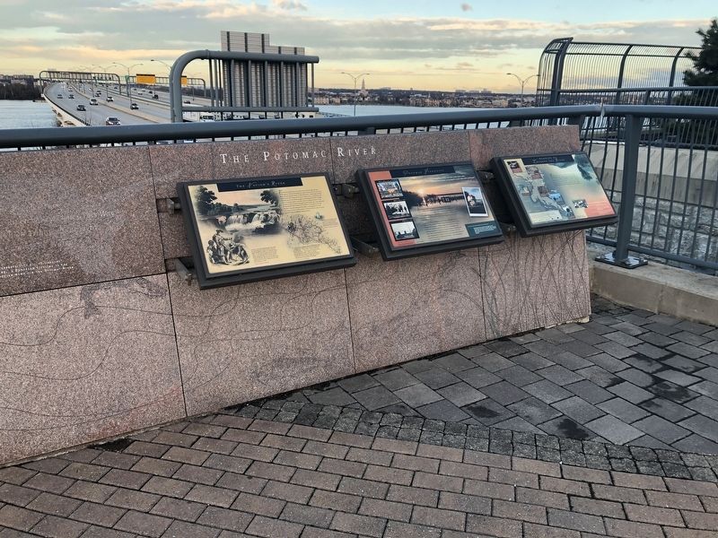
Other nearby markers. At least 8 other markers are within walking distance of this marker: Potomac Fisheries (here, next to this marker); The Nation's River (here, next to this marker); Neighbor to the Nation's Capital (a few steps from this marker); Bladensburg (a few steps from this marker); The Founding of Maryland (a few steps from this marker); The Tobacco Economy (a few steps from this marker); The Growth of the Black Middle Class (a few steps from this marker); College Park (a few steps from this marker). Touch for a list and map of all markers in Fort Washington.
Credits. This page was last revised on March 3, 2023. It was originally submitted on December 23, 2018, by Devry Becker Jones of Washington, District of Columbia. This page has been viewed 259 times since then and 11 times this year. Photos: 1, 2. submitted on December 23, 2018, by Devry Becker Jones of Washington, District of Columbia. • Bill Pfingsten was the editor who published this page.
