Financial District in Manhattan in New York County, New York — The American Northeast (Mid-Atlantic)
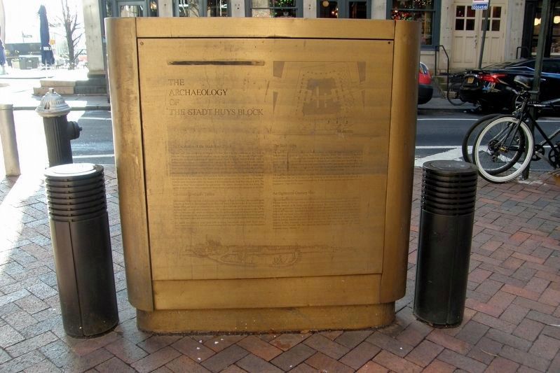
The Archaeology of the Stadt Huys Block
Inscription.
The Archaeology of the Stadt Huys Block
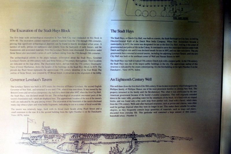
The Excavation of the Stadt Huys Block
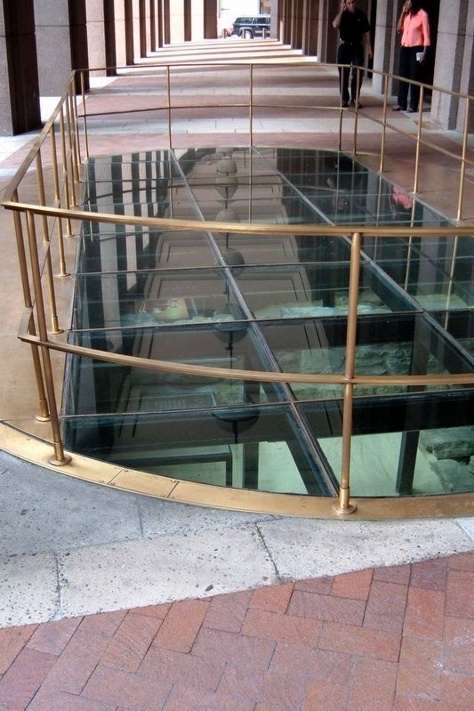
The first large scale archeological excavation in New York City was conducted on this block in 1979-80. The excavation yielded important cultural material from the 17th through 19th centuries, proving that significant archeological deposits can be found in heavily developed urban areas. A number of wells, privies (or outhouses) and cisterns from the backyards of early houses, and the foundations and associated materials from the Lovelace Tavern were discovered. Excavations under Stone Street also uncovered a series of earth surfaces dating from the 17th through 19th centuries.
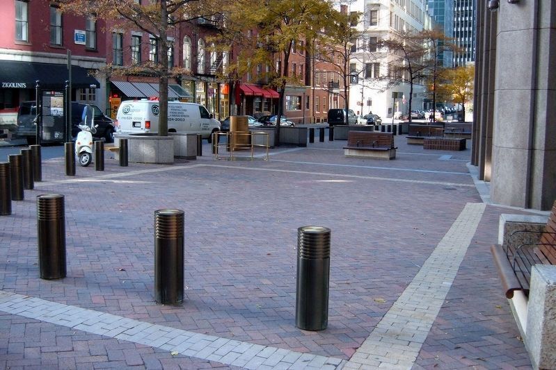
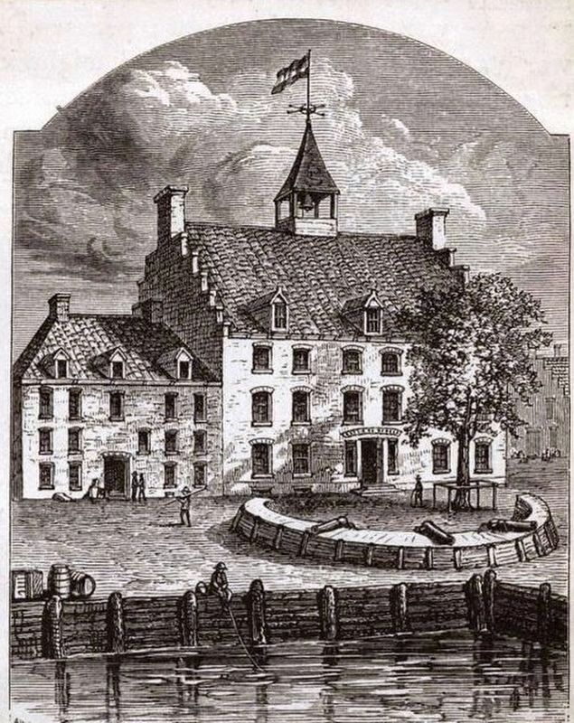
The archeological exhibit in the plaza includes information about the Stadt Huys, Governor Lovelace’s Tavern, an 18th century well, and Stone Street, a 17th century thoroughfare. Their locations are indicated on the map above. The illustration below, derived from the 17th century Danckaerts’ View of lower Manhattan, shows the facades of the buildings on the Stadt Huys Block in 1679. The present day Pearl Street represents the approximate 17th century shoreline of the East River. The outline of Stone Street, now covered by 85 Broad Street, is preserved by the alignment of the lobby
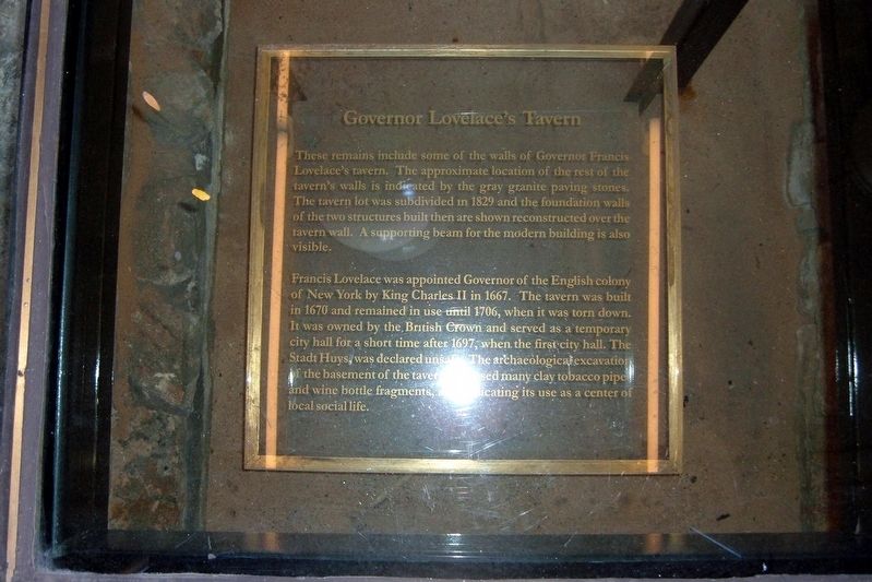
Governor Lovelace’s Tavern
The Lovelace Tavern was built in 1670 under the direction of Francis Lovelace, the second English Governor of New York, and remained in use until 1706, when it was torn down. It was owned by the British Crown and served as a temporary city hall for a short time after 1697, when the first City Hall, the Stadt Huys, was declared unsafe for use. The archeological excavation uncovered parts of the tavern’s foundation wall, which are displayed here. The approximate location of the rest of the tavern’s walls are indicated by the gray paving stones. The excavation of the basement of the tavern disclosed many clay tobacco pipes and wine bottle fragments, indicating its use as a center of local social life.
The tavern was relatedly large, built with its broad main façade along Pearl Street and a small extension to the rear. It is the second building from the right (Number 1) on the Danckaerts’ View (1679) below.
The Stadt Huys
The Stadt Huys, or Dutch City Hall, was built as a tavern , the Stadt Herberg (or City Inn), in 1641 by Director-General Kieft of the Dutch West India Company. When New Amsterdam became a municipality in 1653, the tavern was designated for use as the first City Hall, making it the center of governmental and political life in the Colony. It continued to serve this municipal function under both Dutch and English rule until it was declared unsafe for use in 1697, and was later torn down.
The city government then convened at several taverns, including the adjoining Lovelace Tavern, until the new City Hall was built at the northeast corner of Wall and Nassau Streets in 1699.
The Stadt Huys was built in a typical 17th century Dutch style with a stepped gable. In the 17th century, the Stadt Huys was one of the largest public buildings in the city. The approximate outline of this structure is indicated by the cream-colored paving. It is the first building on the right (Number 2) on the Duncker’s’ View (1670), below.
An Eighteenth Century Well
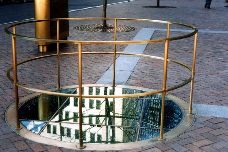
This well dates from the first third of the 18th century. It was located on property which belonged to the Phillippe family, of Phillipse Manor, one of the prominent families in colonial New York. The property remained in the family until the Revolutionary War, when it was confiscated by the new American government because of the family’s Loyalist sympathies. This well originally extended down to the water table, providing water for the inhabitants of the block. It is lined with arc-shaped bricks, and was found only a few yards from another well, lined with a barrel, which dates from the 17th century. Wells and other backyard structures, such as privies and cisterns, were often used for garbage disposal when they were no longer in use. This makes them valuable for archeologists, as they frequently contain large
quantities of materials, such a mugs and plates, discarded from everyday life. This particular well contained a large amount of 18th century household refuse. (Number 3)
Topics. This historical marker is listed in these topic lists: Anthropology & Archaeology • Colonial Era. A significant historical year for this entry is 1679.
Location. 40° 42.222′ N, 74° 0.649′ W. Marker is in Manhattan, New York, in New York County. It is in the Financial District. Marker is on Pearl Street near Coenties Slip, on the right when traveling west. Touch for map. Marker is in this post office area: New York NY 10004, United States of America. Touch for directions.
Other nearby markers. At least 8 other markers are within walking distance of this marker. Dutch Hoog Straat (within shouting distance of this marker); Fraunces Tavern Block Historic District (within shouting distance of this marker); Stone Street Historic District (within shouting distance of this marker); Fraunces Tavern (within shouting distance of this marker); Fraunces Tavern Tallmadge Memorial (within shouting distance of this marker); First Printing Press in the Colony of New York (within shouting distance of this marker); Vietnam Veterans Plaza (about 300 feet away, measured in a direct line); 57 Stone Street (about 300 feet away). Touch for a list and map of all markers in Manhattan.
Related markers. Click here for a list of markers that are related to this marker. See the Stone Street footprint
mentioned in the text.
Also see . . . The Lost 1641 Stadt Huys, Broad and Pearl Streets. "Daytonian in Manhattan" entry. (Submitted on April 12, 2020, by Larry Gertner of New York, New York.)
Credits. This page was last revised on January 31, 2023. It was originally submitted on December 23, 2018, by Larry Gertner of New York, New York. This page has been viewed 731 times since then and 84 times this year. Photos: 1, 2, 3, 4, 5, 6. submitted on December 23, 2018, by Larry Gertner of New York, New York. 7. submitted on April 12, 2020, by Larry Gertner of New York, New York. • Andrew Ruppenstein was the editor who published this page.
