Culpeper in Culpeper County, Virginia — The American South (Mid-Atlantic)
The Civil War
Inscription.
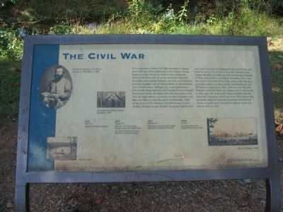
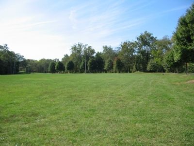
Four long years of bitter Civil War devastated Culpeper more than any other community in the country. Savage battles at Cedar Mountain, Kelly's Ford and Brandy Station left thousands of young Americans dead and wounded, and Culpeper's homes, churches and businesses served as hospitals and as blessed shelters for bloodstained men of both armies. Although the sweeping Piedmont between the Rappahannock and Rapidan Rivers witnessed momentous battles throughout the first three years of the war, the single military event that ravished Culpeper more than any other involved the arrival in December, 1864, of the Army of the Potomac, 100,000 strong. For five months, General George Meade's occupying Federal Army took total command of Culpeper's homes, farm lands, and local economy. Here before you in this beautiful park, imagine hundreds of white tents and just beyond, thousands of bluecoated soldiers marching in formation. These were the 15,000 men of the First Corps, Army of the Potomac, and right before you they camped until leaving for the Wilderness Campaign in May, 1864. In early May, the Federals turned their backs on Culpeper, never to return, but in their path, the Yankees left homes wrecked, churches destroyed, businesses ruined and farm fields barren. But out of the depths of desperate starvation and financial chaos, a hopeful and undaunted
Culpeper resolved to recover. And so it has.
Topics. This historical marker is listed in this topic list: War, US Civil. A significant historical month for this entry is May 1864.
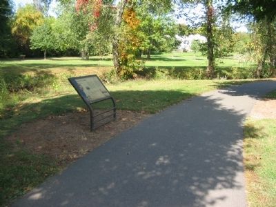
Location. 38° 28.438′ N, 78° 0.15′ W. Marker is in Culpeper, Virginia, in Culpeper County. Marker can be reached from North Blue Ridge Avenue, on the right when traveling south. Located along the Yowell Meadow Park loop trail. Touch for map. Marker is in this post office area: Culpeper VA 22701, United States of America. Touch for directions.
Other nearby markers. At least 8 other markers are within walking distance of this marker. The Revolutionary War (within shouting distance of this marker); Mountain Run Watershed (about 500 feet away, measured in a direct line); The Culpeper Minute Men (about 800 feet away); Major Gabriel Long (approx. 0.2 miles away); Yowell Meadow Park (approx. 0.2 miles away); Historic Antioch Baptist Church (approx. ¼ mile away); The Blair Property and Sugar Bottom (approx. ¼ mile away); Vietnam War Memorial (approx. ¼ mile away). Touch for a list and map of all markers in Culpeper.
More about this marker. On the left is a portrait of Confederate General J.E.B. Stuart. Beside it is a photo of an Encampment at Brandy Station December, 1863. In the bottom left is a photo of Rapidan Ford. And in the lower right is a View of Culpeper c. 1865.
A time line below the text indicates key events of the Civil War related to Culpeper.
1862 - July 20 - Federal forces occupy Culpeper.
1862 - August 17 - Maj. Gen. J.E.B. Stuart orders Fitzhugh Lee to cross Rapidan River. U.S. General Pope learns of Lee's movements and leaves Culpeper.
1862 - October 6-7 - Rebel troops retreat through Culpeper after defeat at Barbee's Crossroads.
1862 - October 7 - Skirmishes at the burnt Rappahannock railroad bridge.
Credits. This page was last revised on June 16, 2016. It was originally submitted on October 21, 2008, by Craig Swain of Leesburg, Virginia. This page has been viewed 1,141 times since then and 25 times this year. Photos: 1, 2, 3. submitted on October 21, 2008, by Craig Swain of Leesburg, Virginia.


