
Deer Lodge in Powell County, Montana — The American West (Mountains)
1931 Administration Building
Old Montana Prison
Photographed by Cosmos Mariner, July 10, 2013
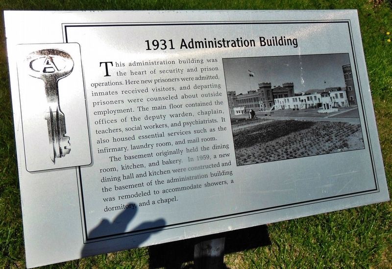
1. 1931 Administration Building Marker
The basement originally held the dining room, kitchen, and bakery. In 1959, a new dining hall and kitchen were constructed and the basement of the administration building was remodeled to accommodate showers, a dormitory and a chapel.
Erected by Old Montana Prison Museum.
Topics. This historical marker is listed in this topic list: Law Enforcement. A significant historical year for this entry is 1931.
Location. 46° 23.556′ N, 112° 44.158′ W. Marker is in Deer Lodge, Montana, in Powell County. It can be reached from the intersection of Main Street (Business U.S. 90) and Texas Avenue, on the right when traveling south. Marker is located on the Old Montana Prison Museum grounds, just inside the main front gate, directly in
this page online

Regionally, this marker is in andspecifically outhwest Montana, in Gold West Country, in Mining Country. It is also in the American Mountain West and in the Lewis & Clark Corridor. Globally, it is in North America, the Rocky Mountains, the Western Hemisphere, the Western World, and the Anglosphere. Historically, it finds itself in what was once Rupert’s Land and also the Louisiana Purchase.
Other nearby markers. At least 8 other markers are within walking distance of this marker: 1870-1931 Federal Building (here, next to this marker); 1959 Riot (here, next to this marker); 1896 Cell House (within shouting distance of this marker); Execution of George Rock (within shouting distance of this marker); 1912 Cell House (within shouting distance of this marker); Siberia East (about 300 feet away, measured in a direct line); The Old Montana Prison (about 300 feet away); 1909 Last Spike Monument (about 700 feet away). Touch for a list and map
Photographed by Cosmos Mariner, July 10, 2013
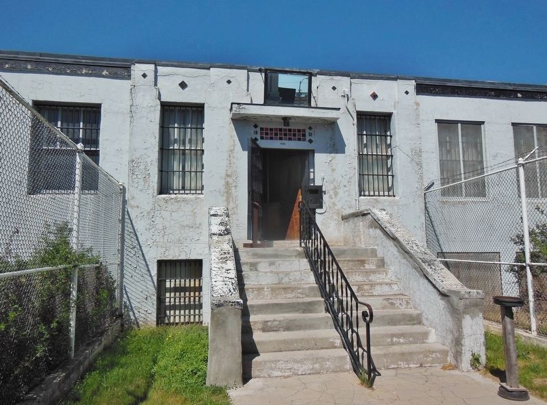
2. 1931 Administration Building (front entrance; view from near marker)
More about this marker. Marker is a large, laser-printed metal plaque, mounted horizontally on a waist-high post.
Related markers. Click here for a list of markers that are related to this marker. Old Montana Prison
Photographed by Cosmos Mariner, July 10, 2013
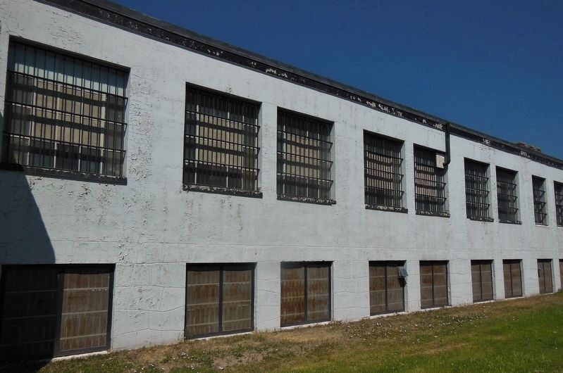
3. 1931 Administration Building (front/east side; view from near marker)
Photographed by Cosmos Mariner, July 10, 2013
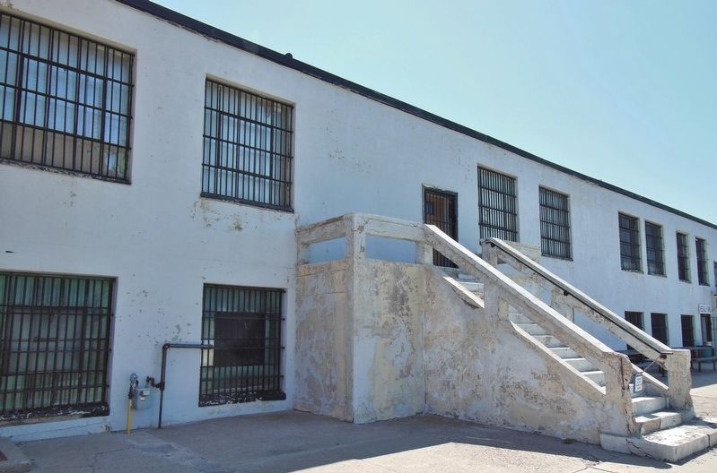
4. 1931 Administration Building (back/west side)
Photographed by Cosmos Mariner, July 10, 2013
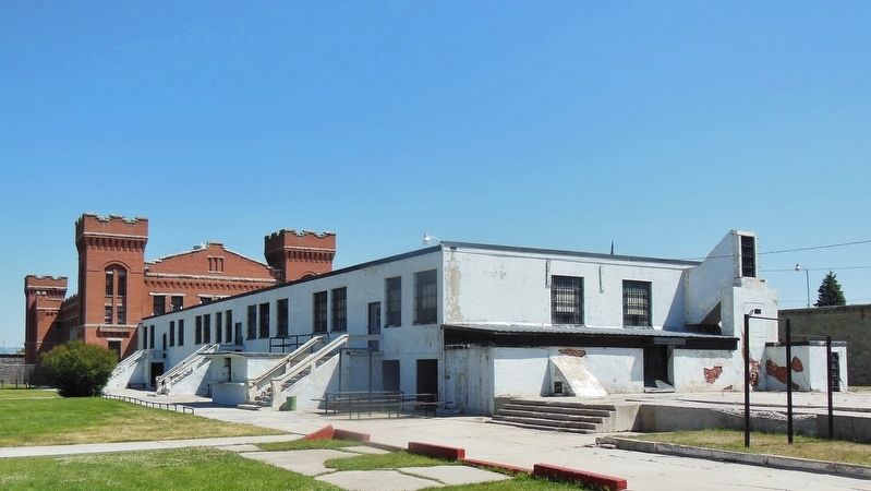
5. 1931 Administration Building (southwest corner; 1912 Cell House in background)
Photographed by Cosmos Mariner, July 10, 2013
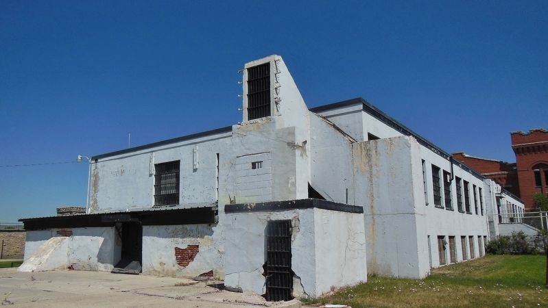
6. 1931 Administration Building (southeast corner; marker just beyond right edge of image)
Credits. This page was last revised on December 29, 2018. It was originally submitted on December 24, 2018, by Cosmos Mariner of Cape Canaveral, Florida. This page has been viewed 258 times since then and 12 times this year. Photos: 1, 2, 3, 4, 5, 6. submitted on December 24, 2018, by Cosmos Mariner of Cape Canaveral, Florida. • Bill Pfingsten was the editor who published this page.
