Near Maggie Valley in Haywood County, North Carolina — The American South (South Atlantic)
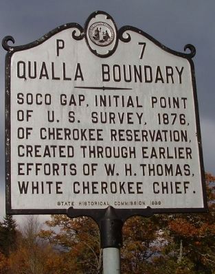
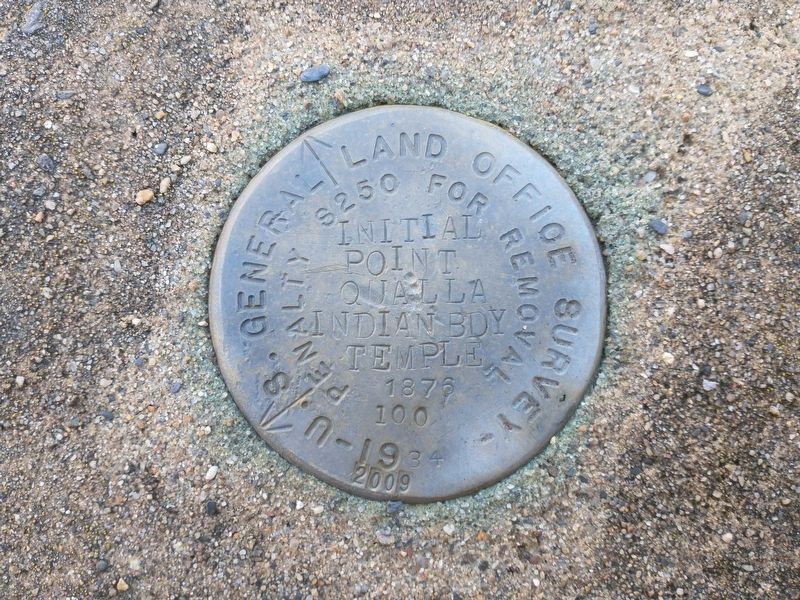
Qualla Boundary
Inscription.
Soco Gap, initial point
of U.S. survey, 1876,
of Cherokee Reservation,
created through earlier
efforts of W. H. Thomas,
White Cherokee Chief.
Erected 1939 by Department of Conservation and Development and the State Historical Commission. (Marker Number P-7.)
Topics and series. This historical marker is listed in these topic lists: Native Americans • Political Subdivisions. In addition, it is included in the North Carolina Division of Archives and History series list. A significant historical year for this entry is 1876.
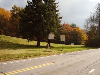
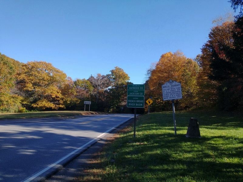
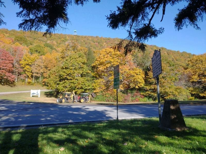
Location. 35° 29.772′ N, 83° 9.367′ W. Marker is near Maggie Valley, North Carolina, in Haywood County. Marker is on Soco Road (U.S. 19) just west of the Blue Ridge Parkway overpass, on the left when traveling east. Touch for map. Marker is in this post office area: Maggie Valley NC 28751, United States of America. Touch for directions.
Other nearby markers. At least 8 other markers are within 6 miles of this marker, measured as the crow flies. Plott Balsam (approx. 1.3 miles away); An Ancient and Settled Landscape (approx. 2.1 miles away); Qualla Indian Reservation (approx. 2.1 miles away); Browning Knob (approx. 2.8 miles away); The Masonic Marker (approx. 2.8 miles away); Kirk's Raid (approx. 3.3 miles away); Felix Walker (approx. 5.1 miles away); Rutherford Trace (approx. 6.1 miles away). Touch for a list and map of all markers in Maggie Valley.
Credits. This page was last revised on October 29, 2023. It was originally submitted on October 20, 2008, by Stanley and Terrie Howard of Greer, South Carolina. This page has been viewed 1,382 times since then and 33 times this year. Last updated on October 21, 2008, by Stanley and Terrie Howard of Greer, South Carolina. Photos: 1, 2. submitted on October 20, 2008, by Stanley and Terrie Howard of Greer, South Carolina. 3, 4, 5. submitted on October 22, 2023, by Tom Bosse of Jefferson City, Tennessee. • Kevin W. was the editor who published this page.
