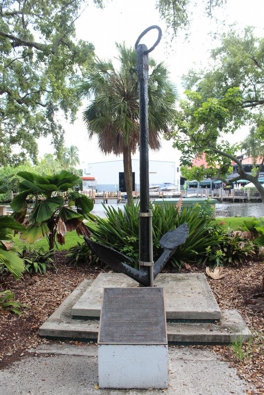
Early 19th Century British Admiralty Anchor
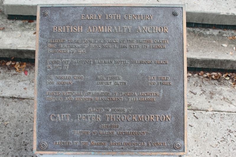
Found off Barefoot Mailman Hotel, Hillsboro Beach in 1967 by
Dr. Donald King
Bob Jordan
Mel Fisher
Rupert Gates
Fay Field
Deo Fisher
Electrolytically stabilized by Florida Archives, History and Records Management-Tallahassee
Erected by Marine Archaeological Council.
Topics. This historical marker is listed in this topic list: Waterways & Vessels. A significant historical date for this entry is November 1, 1804.
Location. 26° 7.127′ N, 80° 8.755′ W. Marker is in Fort Lauderdale, Florida, in Broward County. It is in Sailboat Bend. It can be reached from Southwest 2nd Avenue just south of Southwest 3rd Avenue. Located in Riverwalk Park. Touch for map. Marker is in this post office area: Fort Lauderdale FL 33301, United States of America. Touch for directions.
Regionally, this marker is in South Florida, on the Gold Coast, and in Greater Miami. It is also in the American South and on the Eastern Seaboard. Globally, it is in the North Atlantic Region, North America, a Gulf of Mexico state, the
this page online
Other nearby markers. At least 8 other markers are within walking distance of this marker: Old Fort Lauderdale Village (within shouting distance of this marker); Replica 1899 School House (within shouting distance of this marker); King-Cromartie House (within shouting distance of this marker); Shippey House (about 300 feet away, measured in a direct line); Philemon Nathaniel Bryan House (about 400 feet away); Hoch Heritage Center (about 400 feet away); Colonial Hotel (about 600 feet away); Museum Building (about 700 feet away). Touch for a list and map of all markers in Fort Lauderdale.
Another marker is no longer nearby. Oliver Building (was about 600 feet away but has been permanently removed).
Credits. This page was last revised on February 17, 2020. It was originally submitted on December 25, 2018, by Tim Fillmon of Webster, Florida. This page has been viewed 843 times since then and 98 times this year. Photos: 1, 2. submitted on December 25, 2018, by Tim Fillmon of Webster, Florida. • Andrew Ruppenstein was the editor who published this page.
