Daingerfield in Morris County, Texas — The American South (West South Central)
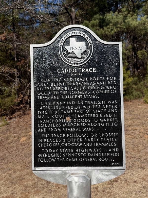
Caddo Trace
(1 mi. N.)
Photographed by Gary Estep, February 2, 2026
1. Caddo Trace Marker
Hunting and trade route for area between Arkansas and Red Rivers; used by Caddo Indians, who occupied the northeast corner of Texas and adjacent states.
Like many Indian trails, it was later usurped by whites; after 1840, it became part of stage and mail routes. Teamsters used it transporting goods to market; soldiers marched along it to and from several wars.
The trace follows or crosses in places 3 other early trails: Cherokee, Choctaw, and Trammel's.
Today state highways 11 and 49 (Hughes Springs to Daingerfield) follow the same general route.
Erected 1967 by State Historical Survey Committee. (Marker Number 7842.)
Topics. This historical marker is listed in these topic lists: Indigenous Peoples and Communities • Roads & Vehicles. A significant historical year for this entry is 1840.
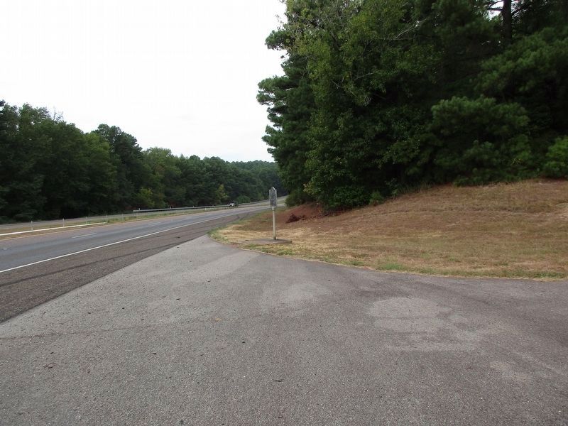
Location. 33° 0.8′ N, 94° 41.21′ W. Marker is in Daingerfield, Texas, in Morris County. It is on State Highway 49/11 near Park Road 17. Touch for map. Marker is in this post office area: Daingerfield TX 75638, United States of America. Touch for directions.

Regionally, this marker is in the American South, specifically in the
this page online
Other nearby markers. At least 8 other markers are within 4 miles of this marker, measured as the crow flies: Site of Hussey & Logan's Mill and Gin Factory (approx. 2½ miles away); Morris County (approx. 2½ miles away); Daingerfield, C. S. A. (approx. 2.6 miles away); Rev. Nathan S. Johnson (approx. 2.6 miles away); Site of Chapel Hill College (approx. 2.7 miles away); Cumberland Presbyterian Church (approx. 2.7 miles away); Veteran of the American Revolution James Thompson (approx. 2.8 miles away); Chalybeate Springs (approx. 3.4 miles away). Touch for a list and map of all markers in Daingerfield.
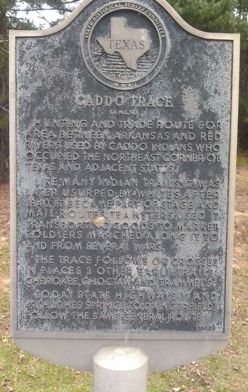
2. Caddo Trace Marker
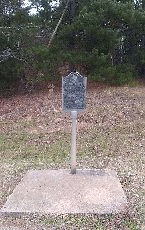
3. Caddo Trace Marker
Photographed by Jeff Leichsenring, September 12, 2023
4. Caddo Trace Marker
Credits. This page was last revised on February 3, 2026. It was originally submitted on December 26, 2018, by Cajun Scrambler of Assumption, Louisiana. This page has been viewed 1,745 times since then and 121 times this year. Photos: 1. submitted on February 2, 2026, by Gary Estep of Anna, Texas. 2, 3. submitted on December 26, 2018. 4. submitted on September 14, 2023, by Jeff Leichsenring of Garland, Texas.
