Honey Grove in Fannin County, Texas — The American South (West South Central)
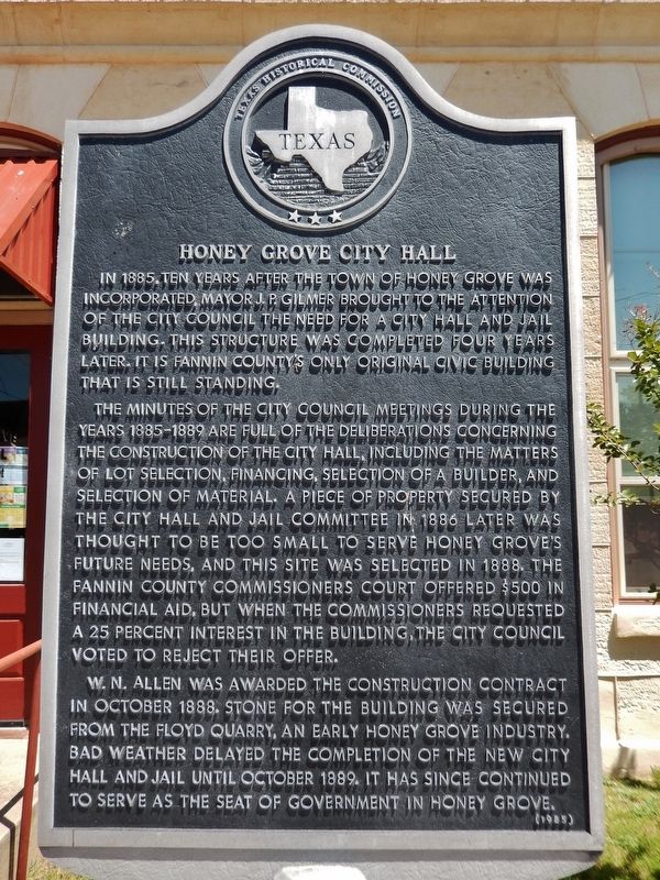
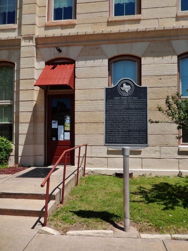
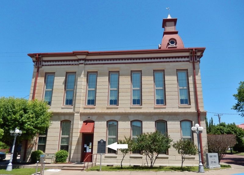
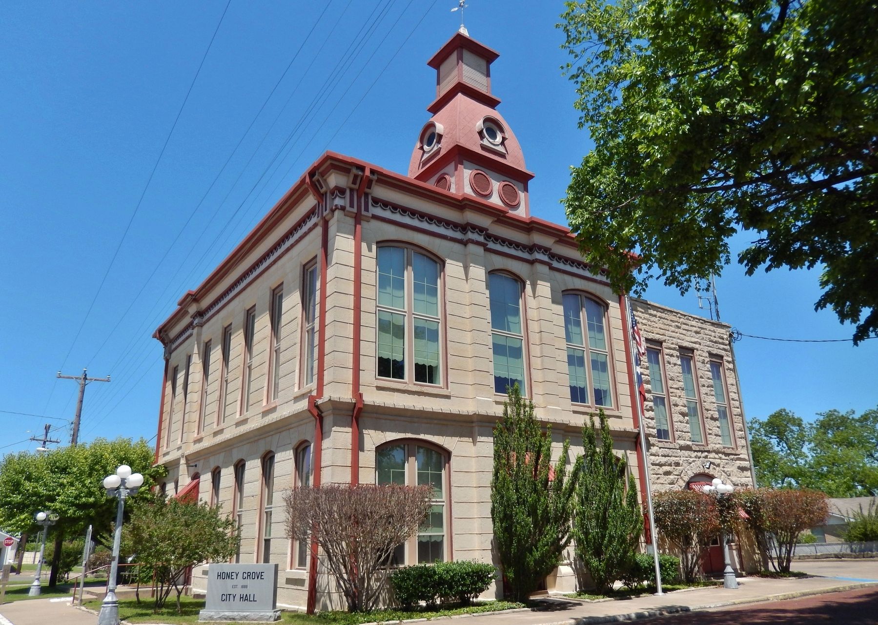
Honey Grove City Hall
The minutes of the City Council meetings during the years 1885-1889 are full of the deliberations concerning the construction of the city hall, including the matters of lot selection, financing, selection of a builder, and selection of material. A piece of property secured by the City Hall and Jail Committee in 1886 later was thought to be too small to serve Honey Grove's future needs, and this site was selected in 1888. The Fannin County Commissioners Court offered $500 in financial aid, but when the commissioners requested a 25% interest in the building, the City Council voted to reject their offer.
W. N. Allen was awarded the construction contract in October 1888. Stone for the building was secured from the Floyd Quarry, an early Honey Grove industry. Bad weather delayed the completion of the new city hall and jail until October 1889. It has since continued to serve as the seat of government in Honey Grove.
Erected 1985 by Texas Historical Commission. (Marker Number 8899.)
Topics. This historical marker is listed in these topic lists: Architecture • Man-Made Features • Notable Buildings. A significant historical year for this entry is 1889.
Location. 33° 35.034′ N, 95° 54.566′ W. Marker is in Honey Grove, Texas, in Fannin County. Marker is on Hickory Street east of 5th Street (State Highway 34), on the left when traveling east. Marker is located beside the sidewalk, on the south side of the subject building, near the south entrance. Touch for map. Marker is at or near this postal address: 633 North 6th Street, Honey Grove TX 75446, United States of America. Touch for directions.
Other nearby markers. At least 8 other markers are within walking distance of this marker. Honey Grove Lodge No. 164, A.F. & A.M. (within shouting distance of this marker); McKenzie Methodist Church (about 500 feet away, measured in a direct line); First Baptist Church of Honey Grove (about 500 feet away); Church of St. Mark, the Evangelist, Episcopal (about 800 feet away); Dial Home (approx. 0.2 miles away); Site of Bralley-Pendleton School (approx. 0.3 miles away); Crockett Park (approx. 0.4 miles away); James Thomas Holt (approx. 0.4 miles away). Touch for a list and map of all markers in Honey Grove.
Also see . . . Honey Grove, Texas. David Crockett discovered the area of Honey Grove when he camped there on his way to join the
Texas Army at San Antonio in 1836. Crockett sent many letters back to Tennessee, telling of an area with an abundance of honey-filled trees, hence the town's name. In 1837, Samuel Erwin became the first settler of the place. B. S. Walcott contributed much to the town's development, by planning the city's landscape and later on by selling building lots. In 1873 Honey Grove was officially established. (Submitted on December 29, 2018, by Cosmos Mariner of Cape Canaveral, Florida.)
Credits. This page was last revised on August 27, 2020. It was originally submitted on December 29, 2018, by Cosmos Mariner of Cape Canaveral, Florida. This page has been viewed 196 times since then and 9 times this year. Photos: 1, 2, 3, 4. submitted on December 29, 2018, by Cosmos Mariner of Cape Canaveral, Florida. • Andrew Ruppenstein was the editor who published this page.


