Murrieta in Riverside County, California — The American West (Pacific Coastal)
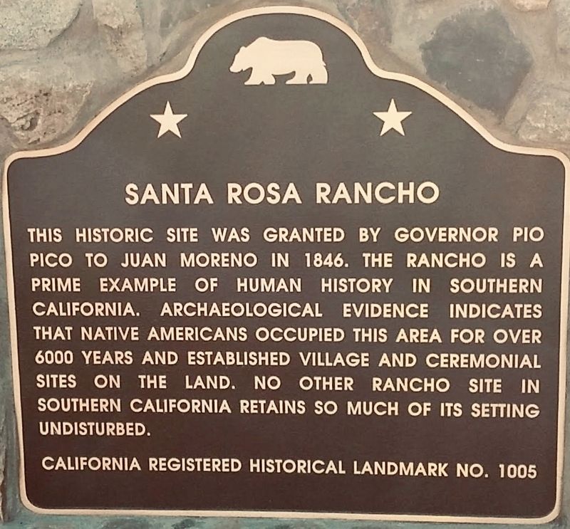
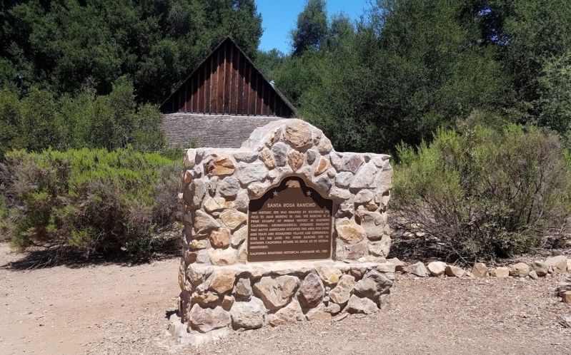
Santa Rosa Rancho
Erected 2018. (Marker Number 1005.)
Topics and series. This historical marker is listed in these topic lists: Native Americans • Settlements & Settlers. In addition, it is included in the California Historical Landmarks series list. A significant historical year for this entry is 1846.
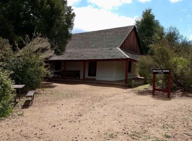
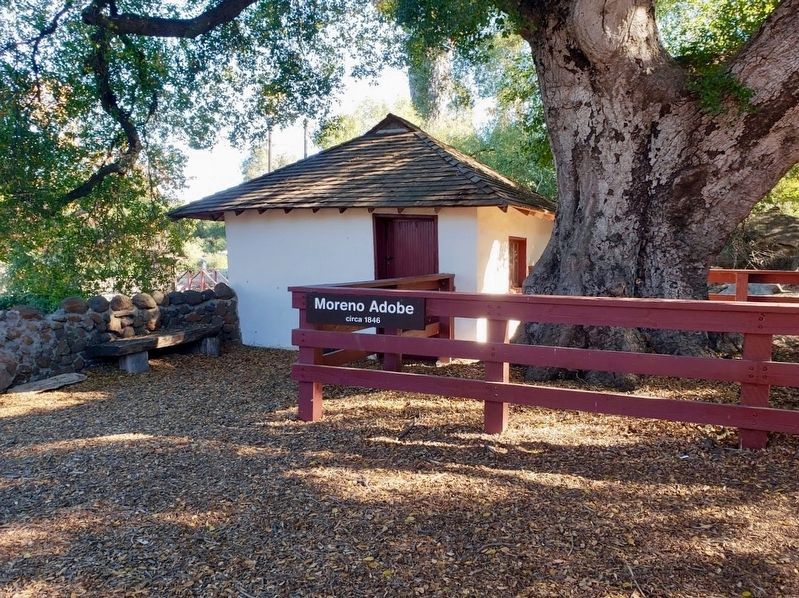
Location. 33° 30.693′ N, 117° 16.222′ W. Marker is in Murrieta, California, in Riverside County. Marker can be reached from Tenaja Road near Clinton Kieth Road. Hike two miles south from Tenaja Road, to the Rancho Santa Rosa Adobes. Touch for map. Marker is in this post office area: Murrieta CA 92562, United States of America. Touch for directions.
Other nearby markers. At least 8 other markers are within 12 miles of this marker, measured as the crow flies. Heart o' the Hills (approx. 6.6 miles away); First National Bank (approx. 7.1 miles away); The Wolf Store (approx. 10.2 miles away); Treaty of Temecula (approx. 10.2 miles away); Walter Zeiders (approx. 10.3 miles away); Patricia H. Birdsall (approx. 10.9 miles away); The Great Oak (approx. 11.3 miles away); Santa Fe Station (approx. 11.3 miles away).
Credits. This page was last revised on December 30, 2018. It was originally submitted on December 30, 2018, by Craig Baker of Sylmar, California. This page has been viewed 389 times since then and 43 times this year. Photos: 1, 2, 3, 4. submitted on December 30, 2018, by Craig Baker of Sylmar, California. • Syd Whittle was the editor who published this page.


