Alpine in Bergen County, New Jersey — The American Northeast (Mid-Atlantic)
Rionda’s Tower
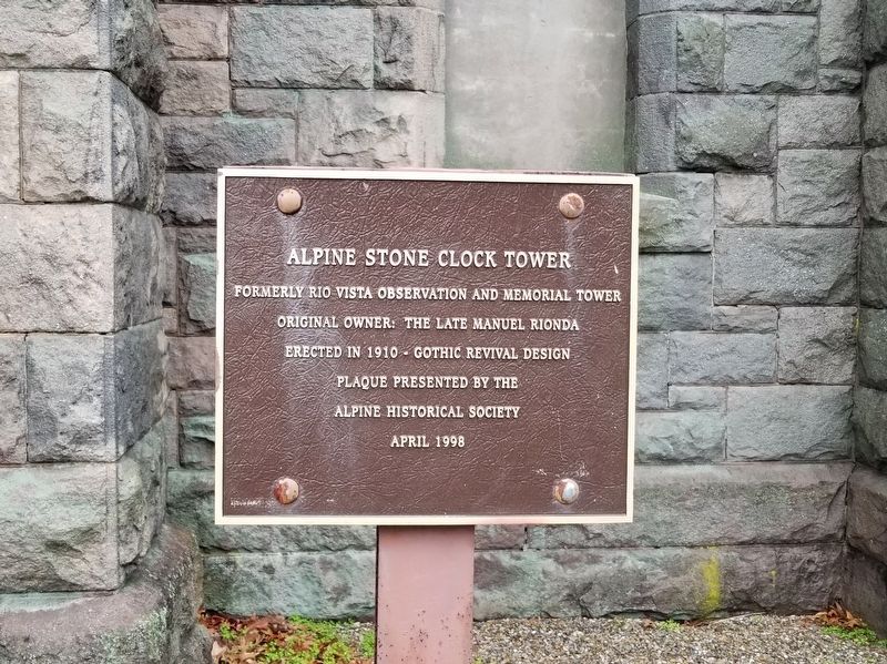
Photographed by Michael Herrick, December 15, 2018
1. Rionda’s Tower Marker
Formerly Rio Vista Observation and Memorial Tower
Original Owner: The Late Manuel Rionda
Erected in 1910 – Gothic Revival Design
Plaque Presented by the
Alpine Historical Society
April 1998
Erected 1998 by the Alpine Historical Society.
Topics. This historical marker is listed in these topic lists: Architecture • Hispanic Americans. A significant historical month for this entry is April 1998.
Location. 40° 56.027′ N, 73° 55.988′ W. Marker is in Alpine, New Jersey, in Bergen County. It is on The Esplanade 0.3 miles west of Sylvan Avenue (U.S. 9W), on the left when traveling west. Touch for map. Marker is in this post office area: Alpine NJ 07620, United States of America. Touch for directions.

Regionally, this marker is in North Jersey, in Greater Newark, and in the New York City Metropolitan Area. It is also in the American Northeast, in the Mid-Atlantic, and on the Eastern Seaboard. Globally, it is in the North Atlantic Region, North America, the Western Hemisphere, the Western World, and the Anglosphere. Historically, it finds itself in what was once New Netherland
this page online
Other nearby markers. At least 8 other markers are within 2 miles of this marker, measured as the crow flies: 1776: British Invasion of New Jersey (approx. 0.4 miles away); Lower Closter or New Dock (approx. 0.6 miles away); Closter Dock Road (approx. 1.1 miles away); Alpine Community Church (approx. 1.1 miles away); Along the Palisades Riverfront (approx. 1.1 miles away); Cornwallis Headquarters (approx. 1.2 miles away); The Old Alpine Trail (approx. 1.2 miles away); Untangling Folklore from Fact (approx. 1.2 miles away). Touch for a list and map of all markers in Alpine.
Also see . . . Manuel Rionda on Wikipedia. (Submitted on December 30, 2018, by Michael Herrick of Southbury, Connecticut.)
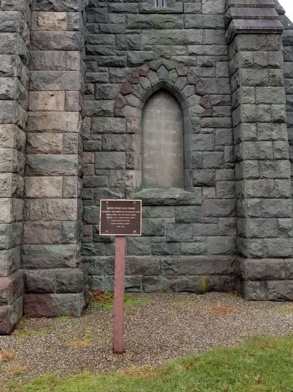
Photographed by Michael Herrick, December 15, 2018
2. Rionda’s Tower Marker
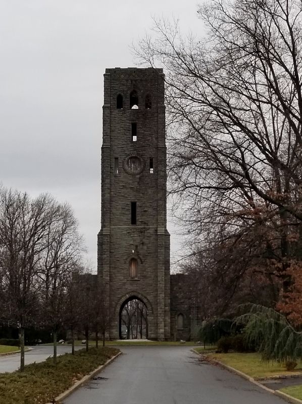
Photographed by Michael Herrick, December 15, 2018
3. Rionda’s Tower
Credits. This page was last revised on July 27, 2020. It was originally submitted on December 30, 2018, by Michael Herrick of Southbury, Connecticut. This page has been viewed 4,629 times since then and 1,066 times this year. Photos: 1, 2, 3. submitted on December 30, 2018, by Michael Herrick of Southbury, Connecticut.
