Fort Belvoir in Fairfax County, Virginia — The American South (Mid-Atlantic)
Woodlawn Historic Landscapes
Photographed by Allen C. Browne, December 26, 2018
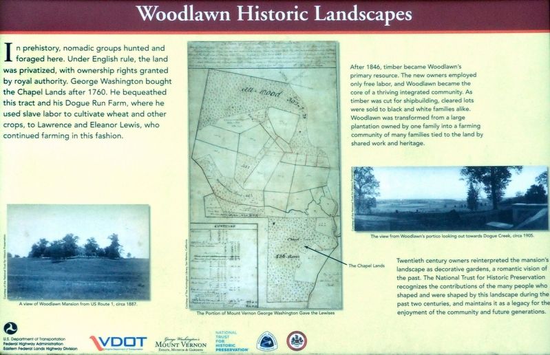
1. Woodlawn Historic Landscapes Marker
After 1846, timber became Woodlawn’s primary resource. The new owners employed only free labor, and Woodlawn became the core of a thriving integrated community. As timber was cut for shipbuilding, cleared lots were sold to black and white families alike. Woodlawn was transformed from a large plantation owned by one family into a farming community owned by many families tied to the land by shared work and heritage.
Twentieth Century owners reinterpreted the mansion’s landscape as decorative gardens, a romantic vison of the past. The National Trust for Historic preservation recognizes the contributions of many people who shaped and were shaped by this landscape during the past two centuries, and maintains it as a legacy for the enjoyment of the community and future generations.
Topics. This historical marker is listed in these topic lists: Agriculture • Notable Places. A significant historical year for this entry is 1760.
Location. 38° 43.028′ N, 77° 7.989′ W. Marker
this page online

Regionally, this marker is in the Washington Metropolitan Area and in Northern Virginia. It is also in the American South, specifically in the Upper South, in the Mid-Atlantic, and on the Eastern Seaboard. Globally, it is in the North Atlantic Region, North America, the Western Hemisphere, the Western World, and the Anglosphere. Historically, it finds itself in what was once the territory of the Mississippian Culture, one of the original Thirteen Colonies, one of the Confederate States of America, and the Antebellum South.
Other nearby markers. At least 8 other markers are within walking distance of this marker: Potomac Connections (approx. 0.2 miles away); Dairy (approx. ¼ mile away); Necessary (approx. ¼ mile away); Woodlawn (approx. ¼ mile away); Meat House (approx. ¼ mile away); Pope-Leighey (approx. ¼ mile away); The People of Woodlawn (approx. ¼ mile away); a different marker also named Woodlawn (approx. ¼ mile away).
Photographed by Allen C. Browne, December 26, 2018
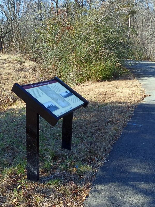
2. Woodlawn Historic Landscapes Marker
Photographed by Allen C. Browne, December 26, 2018
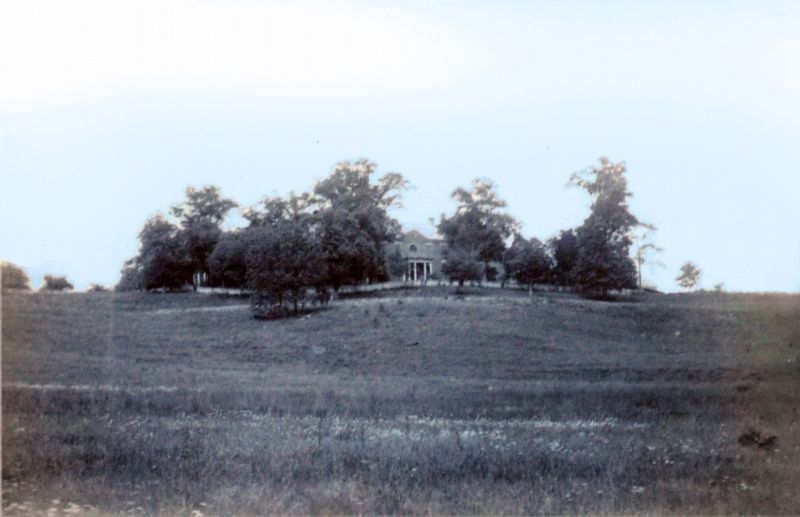
3. A View of Woodlawn Mansion form US Route 1, circa 1887
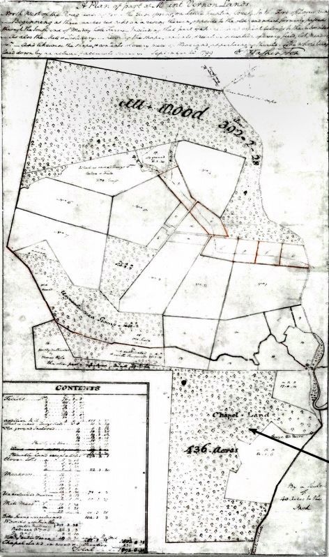
4. The Portion of Mount Vernon George Washington Gave the Lewises
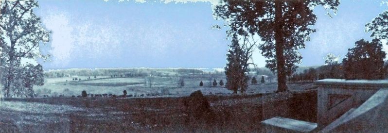
circa 1905
5. The view from Woodlawn's portico looking out towards Doque Creek, circa 1905
Credits. This page was last revised on January 1, 2019. It was originally submitted on December 31, 2018, by Allen C. Browne of Silver Spring, Maryland. This page has been viewed 483 times since then and 24 times this year. Photos: 1, 2, 3, 4, 5. submitted on December 31, 2018, by Allen C. Browne of Silver Spring, Maryland. • Andrew Ruppenstein was the editor who published this page.
