Foggy Bottom in Northwest Washington in Washington, District of Columbia — The American Northeast (Mid-Atlantic)
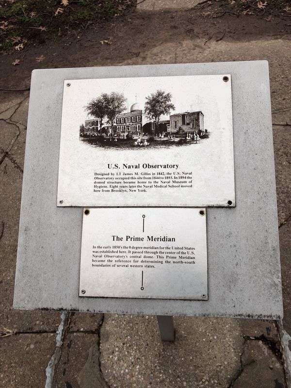
U.S. Naval Observatory / The Prime Meridian
[Bottom plaque:]
Topics. This historical marker is listed in these topic lists: Military • Notable Buildings • Science & Medicine. A significant historical year for this entry is 1842.
Location. 38° 53.728′ N, 77° 3.086′ W. Marker is in Northwest Washington in Washington, District of Columbia. It is in Foggy Bottom. Marker can be reached from 23rd Street Northwest south of E Street Northwest, on the right when traveling south. Touch for map. Marker is at or near this postal address: 2300 E Street Northwest, Washington DC 20037, United States of America. Touch for directions.
Other nearby markers. At least 8 other markers are within walking distance of this marker. Benjamin Rush (a few steps from this marker); Building 2 (within shouting distance of this marker); Radford House (within shouting distance of this marker); Building 5 (about 300 feet away, measured in a direct line); Department of State (about 500 feet away); Bernardo de Gálvez Memorial (approx. 0.2 miles away); Ally for Independence (approx. 0.2 miles away); Braddock’s Rock (approx. 0.2 miles away). Touch for a list and map of all markers in Northwest Washington.
Credits. This page was last revised on January 30, 2023. It was originally submitted on December 31, 2018. This page has been viewed 270 times since then and 21 times this year. Photo 1. submitted on December 31, 2018. • Andrew Ruppenstein was the editor who published this page.
