Butte in Silver Bow County, Montana — The American West (Mountains)
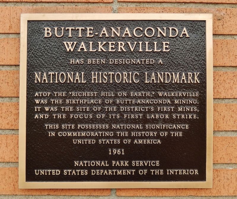
Butte-Anaconda-Walkerville
National Historic Landmark
Photographed by Cosmos Mariner, July 18, 2016
1. Butte-Anaconda-Walkerville Marker
Walkerville
Has been designated a
National Historic Landmark
Atop the “Richest Hill on Earth,” Walkerville was the birthplace of Butte-Anaconda Mining. It was the site of the district’s first mines, and the focus of its first labor strike.
in commemorating the history of the
United States of America
1961
National Park Service
United States Department of the Interior
Erected 1961.
Topics and series. This historical marker is listed in these topic lists: Industry & Commerce • Labor Unions • Natural Resources. In addition, it is included in the National Historic Landmarks series list.
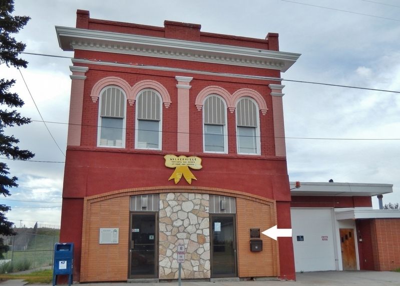
Location. 46° 1.79′ N, 112° 32.202′ W. Marker is in Butte, Montana, in Silver Bow County. It is on West Daly Street west of A Street, on the right when traveling east. Marker is a large metal plaque, mounted at eye-level, directly on the Walkerville (Butte) Post Office building, near the northwest corner of the building, facing West Daly Street. Touch for map. Marker is at or near this postal address: 42 West
this page online

Regionally, this marker is in andspecifically outhwest Montana, in Gold West Country, in Mining Country. It is also in the American Mountain West and in the Lewis & Clark Corridor. Globally, it is in North America, the Rocky Mountains, the Western Hemisphere, the Western World, and the Anglosphere. Historically, it finds itself in what was once Rupert’s Land and also the Louisiana Purchase.
Other nearby markers. At least 8 other markers are within walking distance of this marker: Butte-Anaconda Historic District (here, next to this marker); Caplice & McCune Store (about 500 feet away, measured in a direct line); 1600 North Main (about 500 feet away); St. Lawrence O’Toole Church (approx. 0.2 miles away); Walkerville and the Lex (approx. ¼ mile away); The Con Hoist House (approx. half a mile away); Mines of Centerville (approx. half a mile away); The Irish of Centerville (approx. half a mile away). Touch for a list and map of all markers in Butte.
Related markers. Click here for a list of markers that are related to this marker. Butte-Anaconda
Photographed by Cosmos Mariner, July 18, 2016
2. Butte-Anaconda-Walkerville Marker (wide view; marker visible on right side of building)
Also see . . .
1. Butte-Anaconda National Historic Landmark District. The Butte-Anaconda National Historic Landmark is a historic district that spans parts of Walkerville, Butte and Anaconda, Montana. It has the most resources of any U.S. National Historic Landmark District. It was declared a National Historic Landmark in 1961, when it focused only on Butte. In 2006, the district was expanded significantly to include parts of Walkerville and Anaconda, as well as the bed of the Butte, Anaconda and Pacific Railroad. (Submitted on January 1, 2019, by Cosmos Mariner of Cape Canaveral, Florida.)
2. Montana Mines. While the first metal mining was for gold and silver, the real mineral wealth of Montana was found it its copper mines around Butte. The advent of electricity caused a soaring demand for copper, which was abundant in the area. The small town soon became one of the most prosperous cities in the country, especially during World War I. Between 1880 and the early 1990s, Butte produced staggering mineral wealth, including nearly 3 million ounces of gold, 709 million ounces
Photographed by Cosmos Mariner, July 18, 2016
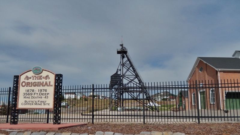
3. The "Original" Mine
3,569 Ft. Deep
Mine Deaths – 43
Butte’s First Copper Mine Site
Photographed by Cosmos Mariner, July 18, 2016
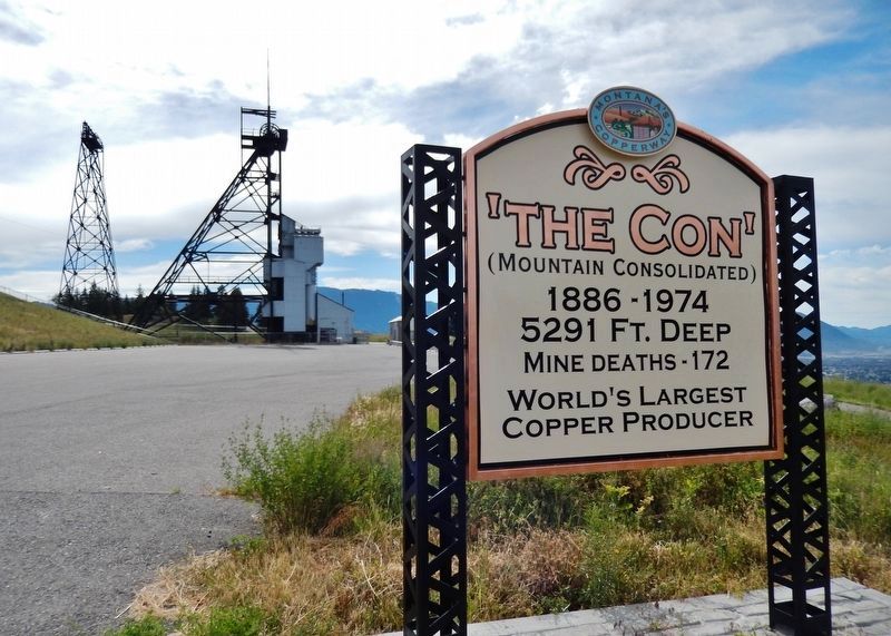
4. The Mountain Consolidated Mine
1886-1974
5,291 Ft. Deep
Mine Deaths – 172
World’s Largest Copper Producer
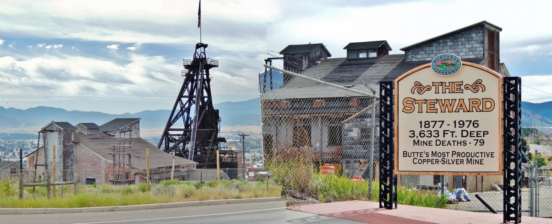
Photographed by Cosmos Mariner, July 18, 2016
5. The Steward Mine
1877-1976
3,633 Ft. Deep
Mine Deaths – 79
Butte’s Most Productive Copper-Silver Mine
Credits. This page was last revised on October 15, 2020. It was originally submitted on January 1, 2019, by Cosmos Mariner of Cape Canaveral, Florida. This page has been viewed 770 times since then and 44 times this year. Photos: 1, 2, 3, 4, 5. submitted on January 1, 2019, by Cosmos Mariner of Cape Canaveral, Florida. • Andrew Ruppenstein was the editor who published this page.
