Gonzales in Gonzales County, Texas — The American South (West South Central)
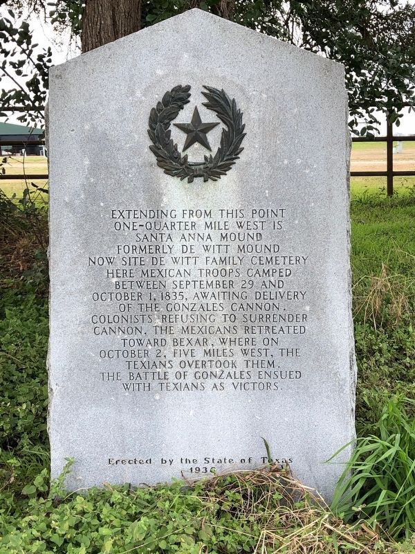
Santa Anna Mound
one-quarter mile west is
Santa Anna Mound
formerly De Witt Mound
now site De Witt Family Cemetery.
Here Mexican troops camped
between September 29 and
October 1, 1835, awaiting delivery
of the Gonzales cannon.
Colonists refusing to surrender
cannon, the Mexicans retreated
toward Bexar, where on
October 2, five miles west, the
Texians overtook them.
The Battle of Gonzales ensued
with Texians as victors.
Erected 1936 by the State of Texas. (Marker Number 4571.)
Topics and series. This historical marker is listed in these topic lists: Cemeteries & Burial Sites • War, Texas Independence. In addition, it is included in the Texas 1936 Centennial Markers and Monuments series list. A significant historical date for this entry is September 29, 1835.
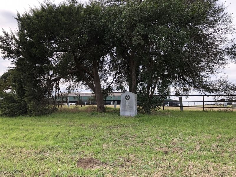
Location. 29° 28.516′ N, 97° 26.735′ W. Marker is in Gonzales, Texas, in Gonzales County. Marker is at the intersection of U.S. 183 and Texas Highway 97, on the right when traveling south on U.S. 183. Touch for map. Marker is in this post office area: Gonzales TX 78629, United States of America. Touch for directions.
Other nearby markers. At least 8 other markers are within 2 miles of this marker, measured as the crow flies. Green Dewitt Cemetery (approx. 0.2 miles away); Sarah Seely De Witt (approx. 0.2 miles away); The Old Eighteen (approx. half a mile away); Gonzales Cannon (approx. half a mile away); Campsite Marking Start of San Jacinto Campaign (approx. 1.6 miles away); 1834 Homesite of Capt. and Mrs. Almaron Dickinson (approx. 1.7 miles away); Site of Indian Fort (approx. 1.8 miles away); Gonzales Cannon Burial Site (approx. 1.8 miles away). Touch for a list and map of all markers in Gonzales.
Credits. This page was last revised on January 3, 2019. It was originally submitted on January 2, 2019, by Brian Anderson of Humble, Texas. This page has been viewed 514 times since then and 44 times this year. Photos: 1, 2. submitted on January 3, 2019, by Brian Anderson of Humble, Texas.

