Lossiemouth in Moray, Scotland, United Kingdom — Northwestern Europe (the British Isles)
Lossiemouth Plough
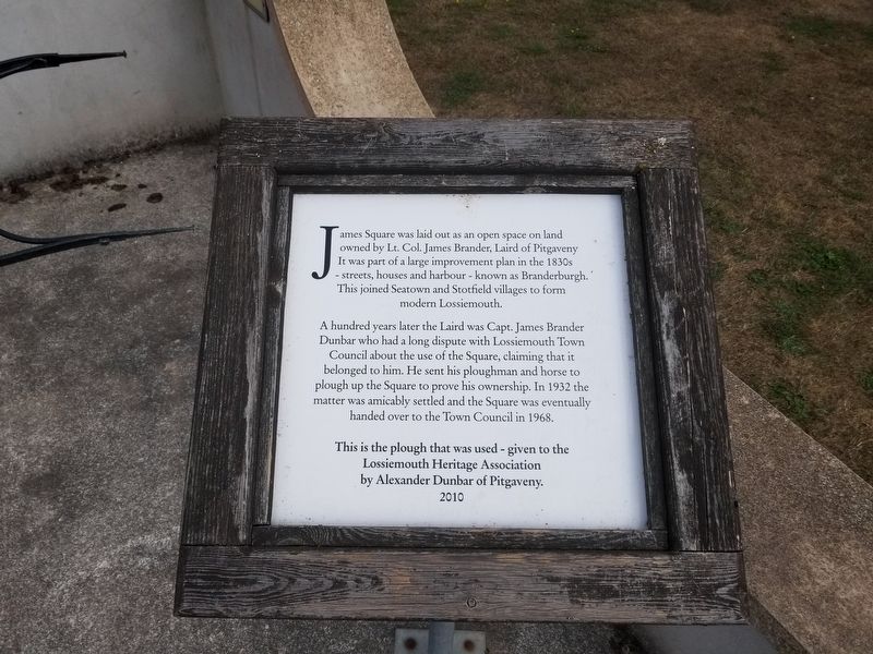
James Square was laid out as an open space on land owned by Lt. Col. James Brander, Laird of Pitgaveny It was part of a large improvement plan in the 1830s - streets, houses and harbour - known as Branderburgh. This joined Seatown and Stotfield villages to form modern Lossiemouth.
A hundred years later the Laird was Capt. James Brander Dunbar who had a long dispute with Lossiemouth Town Council about the use of the Square, claiming that it belonged to him. He sent his ploughman and horse to plough up the Square to prove his ownership. In 1932 the matter was amicably settled and the Square was eventually handed over to the Town Council in 1968.
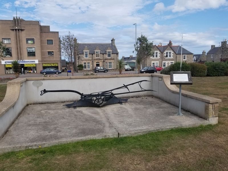
This is the plough that was used - given to the Lossiemouth Heritage Association by Alexander Dunbar of Pitgaveny. 2010
Topics. This historical marker is listed in this topic list: Parks & Recreational Areas. A significant historical year for this entry is 1932.
Location. 57° 43.326′ N, 3° 17.033′ W. Marker is in Lossiemouth, Scotland, in Moray. Marker is at the intersection of Queen Street (Scotland Route B9040) and Kinneddar Street, on the right when traveling east on Queen Street. Touch for map. Marker is in this post office area: Lossiemouth, Scotland IV31 6PR, United Kingdom. Touch for directions.
Other nearby markers. At least 3 other markers are within walking distance of this marker. Markers in James Square (a few steps from this marker); Lossiemouth War Memorial (about 240 meters away, measured in a direct line); Moray Firth Anchor (approx. 0.3 kilometers away).
Credits. This page was last revised on January 27, 2022. It was originally submitted on January 2, 2019, by Michael Herrick of Southbury, Connecticut. This page has been viewed 196 times since then and 21 times this year. Photos: 1, 2. submitted on January 2, 2019, by Michael Herrick of Southbury, Connecticut.

