
Paramount in Los Angeles County, California — The American West (Pacific Coastal)
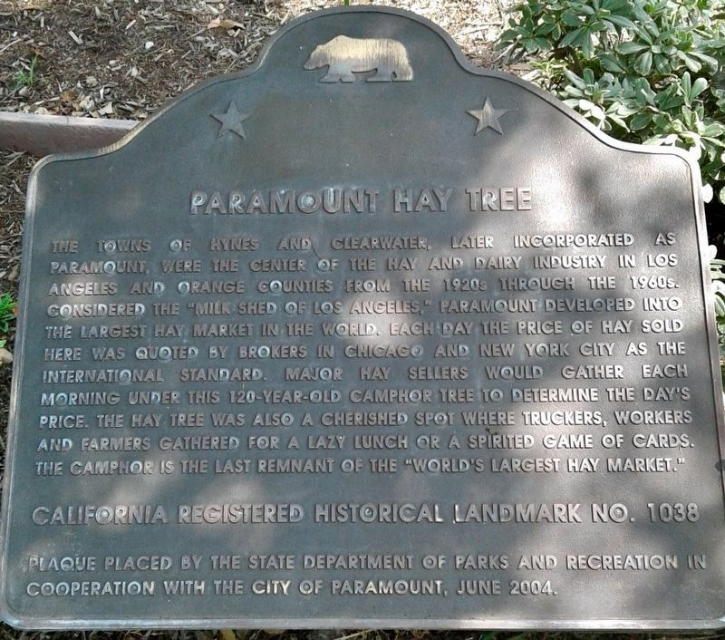
Paramount Hay Tree
Photographed by Craig Baker, October 3, 2018
1. Paramount Hay Tree Marker
Erected 2004 by California State Parks; and City of Paramount. (Marker Number 1038.)
Topics and series. This historical marker is listed in these topic lists: Agriculture • Industry & Commerce • Settlements & Settlers. In addition, it is included in the California Historical Landmarks series list.
Location. 33° 53.055′ N, 118° 9.634′ W.
this page online

Regionally, this marker is in Greater Los Angeles and in the Transverse Ranges. It is also on the American Pacific Coast. Globally, it is in North America, on the Ring of Fire, in the Pacific Rim, in the Western Hemisphere, in the Western World, and in the Anglosphere. Historically, it finds itself in what was once New Spain and also Mexico’s Alta California.
Other nearby markers. At least 8 other markers are within 4 miles of this marker, measured as the crow flies: Under the Hay Tree, World’s Hay Price Was Set (a few steps from this marker); Bellflower Pacific Electric Train Depot (approx. 2 miles away); Apollo Boilerplate 12 (approx. 2.9 miles away); Eagle Tree (approx. 3.3 miles away); Domínguez Ranch House (approx. 3½ miles away); Rancho Los Cerritos (approx. 3.7 miles away); Heritage House (approx. 3.7 miles
Photographed by Craig Baker, October 3, 2018
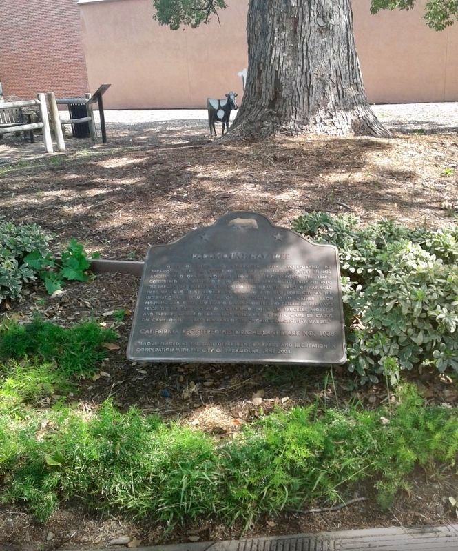
2. Paramount Hay Tree Marker
Photographed by Craig Baker, October 3, 2018
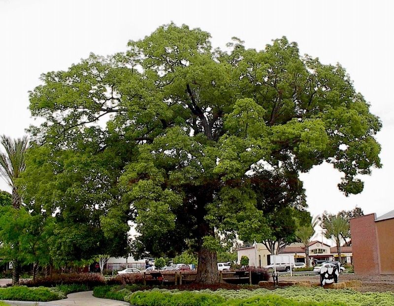
3. Paramount Hay Tree
Credits. This page was last revised on January 30, 2023. It was originally submitted on January 4, 2019, by Craig Baker of Sylmar, California. This page has been viewed 1,391 times since then and 119 times this year. Photos: 1, 2, 3. submitted on January 4, 2019, by Craig Baker of Sylmar, California. • Andrew Ruppenstein was the editor who published this page.
