St. Lucie Village in St. Lucie County, Florida — The American South (South Atlantic)
St. Lucie Village
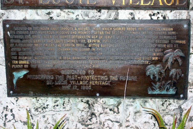
Photographed by Tim Fillmon, September 9, 2018
1. St. Lucie Village Marker
Erected 1990 by St. Lucie Village Heritage.
Topics. This historical marker is listed in these topic lists: Settlements & Settlers • Wars, US Indian. A significant historical year for this entry is 1961.
Location. 27° 29.383′ N, 80° 20.373′ W.
this page online

Regionally, this marker is on Florida’s Treasure Coast. It is also in the American South and on the Eastern Seaboard. Globally, it is in the North Atlantic Region, North America, a Gulf of Mexico state, the Western Hemisphere, the Western World, and the Anglosphere. Historically, it finds itself in what was once New Spain, the territory of the Mississippian Culture, one of the Confederate States of America, and the Antebellum South.
Other nearby markers. At least 8 other markers are within 3 miles of this marker, measured as the crow flies: Fort Capron (approx. 0.2 miles away); Zora Neale Hurston Gravesite (approx. 1½ miles away); Zora Neale Hurston House (approx. 2 miles away); Lincoln Park Academy (approx. 2.2 miles away); a different marker also named Lincoln Park Academy (approx. 2.2 miles away); Mk V Special Operations Craft [SOC] (approx. 2.4 miles
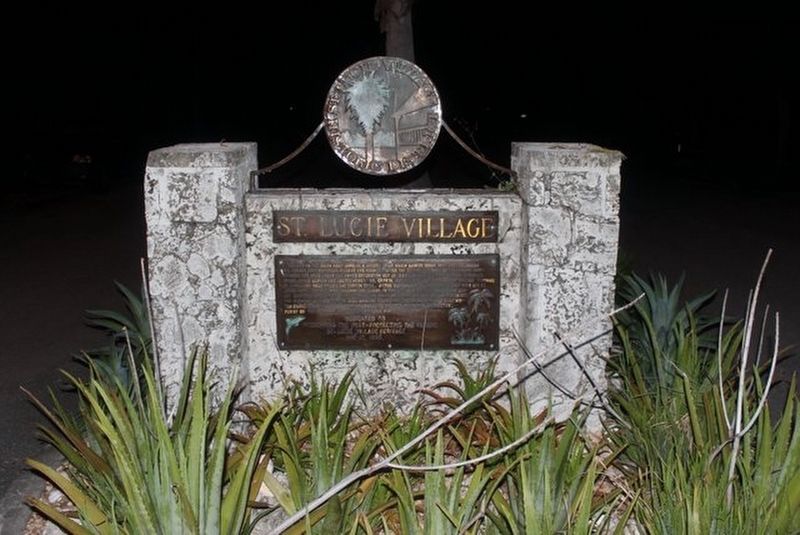
Photographed by Tim Fillmon, September 9, 2018
2. St. Lucie Village Marker
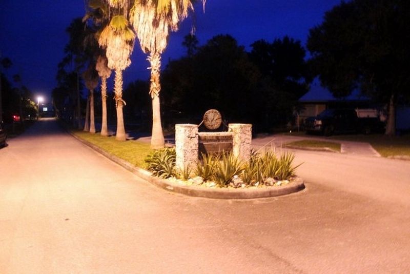
Photographed by Tim Fillmon, September 9, 2018
3. St. Lucie Village Marker
Credits. This page was last revised on January 7, 2019. It was originally submitted on January 5, 2019, by Tim Fillmon of Webster, Florida. This page has been viewed 962 times since then and 99 times this year. Photos: 1, 2, 3. submitted on January 5, 2019, by Tim Fillmon of Webster, Florida. • Andrew Ruppenstein was the editor who published this page.
